204 Airport Rd Sylvester, GA 31791
Estimated Value: $98,000 - $284,000
4
Beds
4
Baths
4,500
Sq Ft
$42/Sq Ft
Est. Value
About This Home
This home is located at 204 Airport Rd, Sylvester, GA 31791 and is currently estimated at $188,693, approximately $41 per square foot. 204 Airport Rd is a home located in Worth County with nearby schools including Worth County Primary School, Worth County Elementary School, and Worth County Middle School.
Ownership History
Date
Name
Owned For
Owner Type
Purchase Details
Closed on
Mar 6, 2013
Sold by
Safer Leslie F
Bought by
Safrondachs Llc
Current Estimated Value
Create a Home Valuation Report for This Property
The Home Valuation Report is an in-depth analysis detailing your home's value as well as a comparison with similar homes in the area
Home Values in the Area
Average Home Value in this Area
Purchase History
| Date | Buyer | Sale Price | Title Company |
|---|---|---|---|
| Safrondachs Llc | -- | -- |
Source: Public Records
Tax History Compared to Growth
Tax History
| Year | Tax Paid | Tax Assessment Tax Assessment Total Assessment is a certain percentage of the fair market value that is determined by local assessors to be the total taxable value of land and additions on the property. | Land | Improvement |
|---|---|---|---|---|
| 2024 | $1,129 | $38,517 | $23,192 | $15,325 |
| 2023 | $1,129 | $127,979 | $23,192 | $104,787 |
| 2022 | $3,922 | $127,979 | $23,192 | $104,787 |
| 2021 | $3,900 | $127,979 | $23,192 | $104,787 |
| 2020 | $3,795 | $124,085 | $23,192 | $100,893 |
| 2019 | $3,795 | $124,085 | $23,192 | $100,893 |
| 2018 | $3,555 | $124,085 | $23,192 | $100,893 |
| 2017 | $3,555 | $124,085 | $23,192 | $100,893 |
| 2016 | $3,555 | $124,085 | $23,192 | $100,893 |
| 2015 | $3,561 | $124,085 | $23,192 | $100,893 |
| 2014 | $3,561 | $124,085 | $23,192 | $100,893 |
| 2013 | -- | $123,219 | $22,326 | $100,893 |
| 2012 | -- | $123,219 | $22,326 | $100,892 |
Source: Public Records
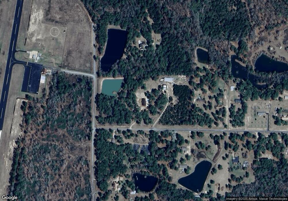
Map
Nearby Homes
- 128 Airport Rd
- 107 Gardner Rd
- 103 N Ayers St
- 101 Elm St
- 0 W Pinson St Unit 10582366
- 213 Aspen Ln
- 1011 N Washington St
- 1102 N Washington St
- 0 N Isabella St Unit 161570
- 701 N Isabella St
- 109 Huntington Ct
- 1007 N Isabella St
- 801 N Washington St
- 100 Carriage Ln
- 115 Northlake Dr
- 222 Pebble Hill Cir
- 112 Creekwood Cir
- 203 E Pinson St
- 307 E Pope St
- 1432 S Ga Hwy 33s
- 225 Ramblewood Rd
- Tract 3 Airport Rd
- 218 Ramblewood Rd
- 221 Ramblewood Rd
- 0 Airport Rd Unit 10473299
- 0 Airport Rd
- 216 Ramblewood Rd
- 118 Airport Rd
- 212 Ramblewood Rd
- 207 Airport Rd
- 114 Airport Rd
- 206 Ramblewood Rd
- 112 Airport Rd
- 211 Ramblewood Rd
- 146 Ramblewood Rd
- 110 Airport Rd
- 202 Ramblewood Rd
- 240 Airport Rd
- 204 Ramblewood Rd
- 0000 Ramblewood Rd