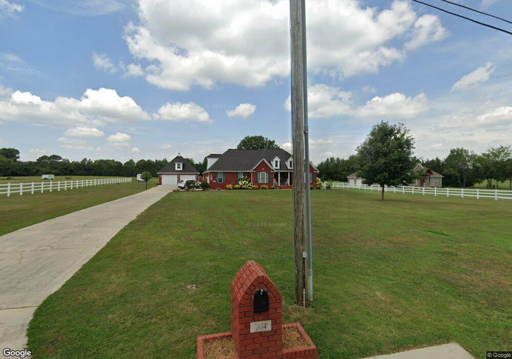
204 Albright Dr Huntsville, AL 35811
Ryland NeighborhoodEstimated Value: $339,000 - $539,000
--
Bed
--
Bath
2,338
Sq Ft
$179/Sq Ft
Est. Value
About This Home
This home is located at 204 Albright Dr, Huntsville, AL 35811 and is currently estimated at $418,911, approximately $179 per square foot. 204 Albright Dr is a home located in Madison County with nearby schools including Central School and Madison County High School.
Ownership History
Date
Name
Owned For
Owner Type
Purchase Details
Closed on
Jul 21, 2015
Sold by
Andrews Curtis and Andrews Marie
Bought by
Mullins Kyle and Mullins Sarah
Current Estimated Value
Purchase Details
Closed on
Sep 20, 2010
Sold by
Mullins Sarah L
Bought by
Mullins Sarah Lee
Home Financials for this Owner
Home Financials are based on the most recent Mortgage that was taken out on this home.
Original Mortgage
$197,000
Interest Rate
4.44%
Mortgage Type
New Conventional
Create a Home Valuation Report for This Property
The Home Valuation Report is an in-depth analysis detailing your home's value as well as a comparison with similar homes in the area
Home Values in the Area
Average Home Value in this Area
Purchase History
| Date | Buyer | Sale Price | Title Company |
|---|---|---|---|
| Mullins Kyle | $11,500 | None Available | |
| Mullins Sarah Lee | -- | -- |
Source: Public Records
Mortgage History
| Date | Status | Borrower | Loan Amount |
|---|---|---|---|
| Closed | Mullins Sarah Lee | $197,000 |
Source: Public Records
Tax History Compared to Growth
Tax History
| Year | Tax Paid | Tax Assessment Tax Assessment Total Assessment is a certain percentage of the fair market value that is determined by local assessors to be the total taxable value of land and additions on the property. | Land | Improvement |
|---|---|---|---|---|
| 2024 | $1,235 | $34,880 | $6,080 | $28,800 |
| 2023 | $1,207 | $34,100 | $6,080 | $28,020 |
| 2022 | $1,015 | $29,480 | $4,380 | $25,100 |
| 2021 | $916 | $26,780 | $4,380 | $22,400 |
| 2020 | $857 | $25,140 | $4,290 | $20,850 |
| 2019 | $829 | $24,360 | $4,290 | $20,070 |
| 2018 | $769 | $22,680 | $0 | $0 |
| 2017 | $769 | $22,680 | $0 | $0 |
| 2016 | $769 | $22,680 | $0 | $0 |
| 2015 | $769 | $22,680 | $0 | $0 |
| 2014 | $761 | $22,460 | $0 | $0 |
Source: Public Records
Map
Nearby Homes
- 104 Louise Taylor
- 900 Wes Taylor Rd
- 908 Wess Taylor Rd
- 403 Ryland Pike
- 350 Moontown Rd
- 362 Moontown Rd
- 105 Alice Janes Cir
- 232 Pops Corner
- 123 Delta Pine Dr
- 118 Sydney St
- 2368 Jordan Rd
- 477 Moontown Rd
- 483 Moontown Rd
- 129 Season Ln
- 3208 Jordan Farm Cir NE
- 111 Cool Cir
- 142 River Mill Rd
- 135 River Mill Rd
- 149 Stone River Rd
- 118 Stone River Rd
- 214 Albright Dr
- 211 Albright Dr
- 234 Albright Dr
- 183 Albright Dr
- 172 Albright Dr
- 250 Albright Dr
- 268 Albright Dr
- 3322 Dug Hill Rd
- 3363 Dug Hill Rd
- 3329 Dug Hill Rd
- 381 Wess Taylor Rd
- 437 Wess Taylor Rd
- 473 Wess Taylor Rd
- 3319 Dug Hill Rd
- 267 Albright Dr
- 3343 Dug Hill Rd
- 413 Wess Taylor Rd
- 263 Albright Dr
- 3429 Dug Hill Rd
- 3279 Dug Hill Rd