204 Ames Way Centerville, MA 02632
Centerville NeighborhoodEstimated Value: $582,000 - $678,000
About This Home
This home is located at 204 Ames Way, Centerville, MA 02632 and is currently estimated at $635,395, approximately $430 per square foot. 204 Ames Way is a home located in Barnstable County with nearby schools including Barnstable United Elementary School, Centerville Elementary School, and Barnstable Intermediate School.
Ownership History
We collect this data history from publicly available records. To have your information removed, we recommend requesting removal directly through your county’s website.
Purchase Details
Purchase Details
Home Values in the Area
Average Home Value in this Area
Purchase History
We collect this data history from publicly available records. To have your information removed, we recommend requesting removal directly through your county’s website.
| Date | Buyer | Sale Price | Title Company |
|---|---|---|---|
| -- | -- | ||
| $52,900 | -- |
Mortgage History
We collect this data history from publicly available records. To have your information removed, we recommend requesting removal directly through your county’s website.
| Date | Status | Borrower | Loan Amount |
|---|---|---|---|
| Open | $200,000 |
Tax History
We collect this data history from publicly available records. To have your information removed, we recommend requesting removal directly through your county’s website.
| Year | Tax Paid | Tax Assessment Tax Assessment Total Assessment is a certain percentage of the fair market value that is determined by local assessors to be the total taxable value of land and additions on the property. | Land | Improvement |
|---|---|---|---|---|
| 2025 | $4,496 | $555,700 | $151,900 | $403,800 |
| 2024 | $4,313 | $552,300 | $151,900 | $400,400 |
| 2023 | $4,082 | $489,500 | $138,100 | $351,400 |
| 2022 | $3,937 | $408,400 | $102,300 | $306,100 |
| 2021 | $3,721 | $354,700 | $102,300 | $252,400 |
| 2020 | $3,861 | $352,300 | $102,300 | $250,000 |
| 2019 | $3,692 | $327,300 | $102,300 | $225,000 |
| 2018 | $3,350 | $298,600 | $107,700 | $190,900 |
| 2017 | $3,022 | $280,900 | $107,700 | $173,200 |
| 2016 | $2,645 | $242,700 | $108,500 | $134,200 |
| 2015 | $2,538 | $233,900 | $105,100 | $128,800 |
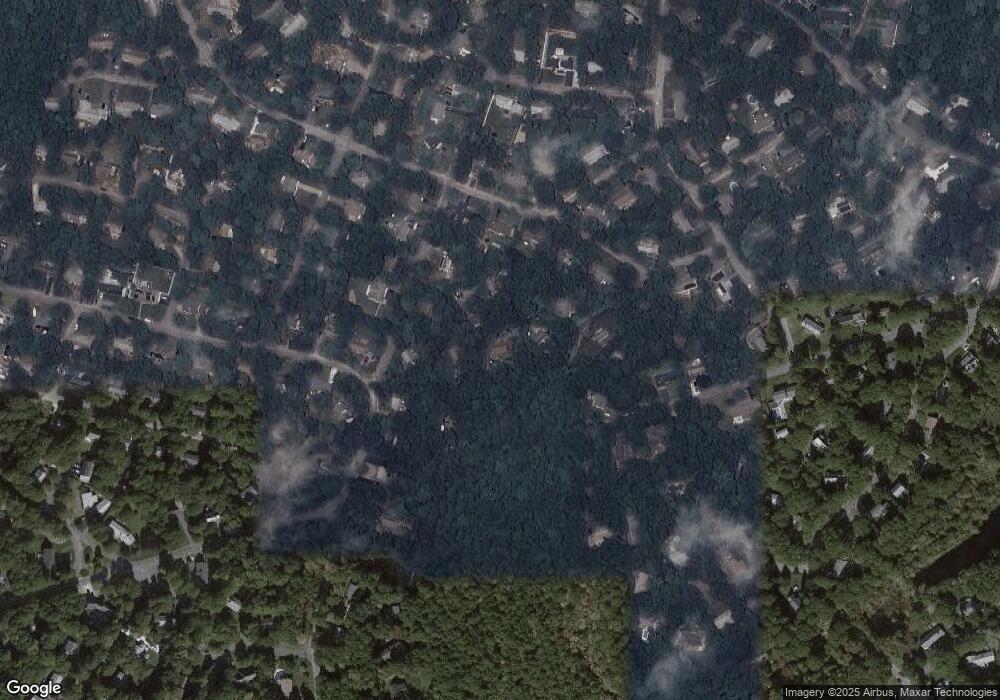
Map
- 302 Ames Way
- 48 Bridgets Path
- 562 Skunknet Rd
- 49 Powderhorn Way
- 105 Taramac Rd
- 168 Highland Dr
- 14 Valley Brook Rd
- 1309 Shootflying Hill Rd
- 1309 Shootflying Hill Rd
- 23 Baird Way
- 195 Knotty Pine Ln
- 16 Maple Rd
- 53 Meadow Farm Rd
- 1115 Shootflying Hill Rd
- 39 Indian Trail
- 52 Meadow Farm Rd
- 3 Yacht Club Rd
- 38 White Oak Trail
- 53 Hadrada Ln
- 3 Thoreau Dr
- 498 Skunknet Rd
- 472 Skunknet Rd
- 480 Skunknet Rd
- 220 Ames Way
- 492 Skunknet Rd
- 434 Skunknet Rd
- 249 Ames Way
- 436 Skunknet Rd
- 254 Ames Way
- 502 Skunknet Rd
- 499 Skunknet Rd
- 35 Nauset Ln
- 499 Skunknet Rd
- 261 Ames Way
- 432 Skunknet Rd
- 264 Ames Way
- 443 Skunknet Rd
- 112 Powderhorn Way
- 424 Skunknet Rd
- 36 Nauset Ln
Ask me questions while you tour the home.