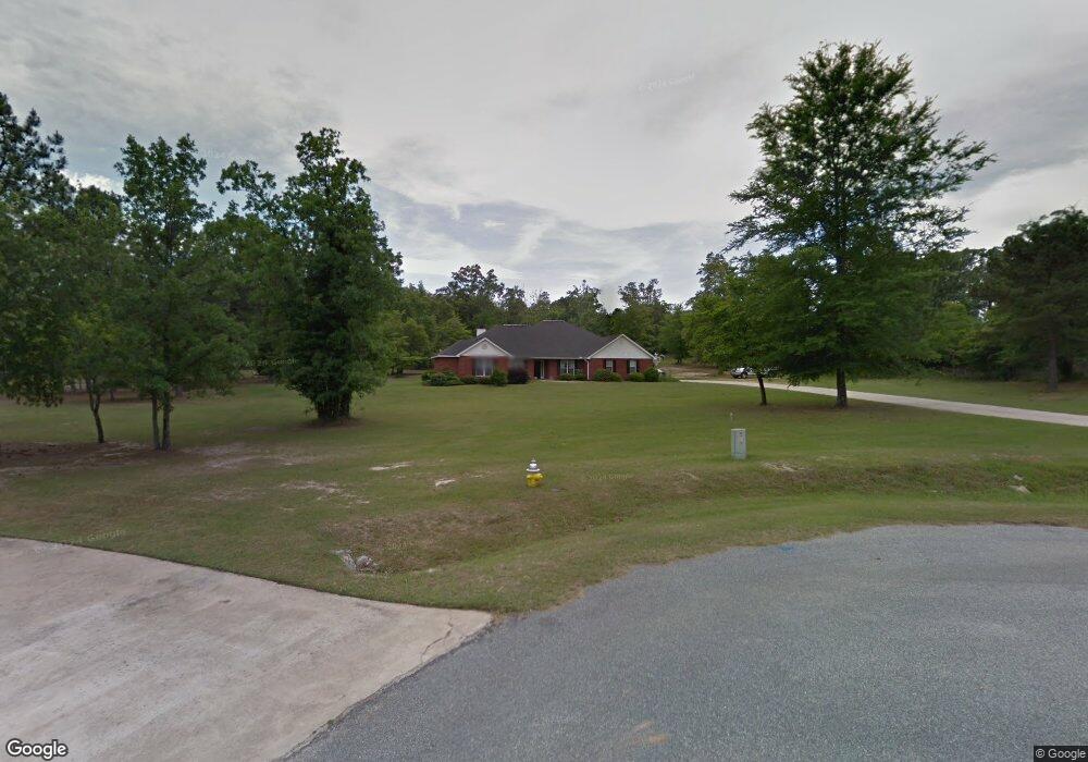
204 Aspen Ct Macon, GA 31216
Estimated Value: $336,000 - $474,000
4
Beds
3
Baths
3,681
Sq Ft
$113/Sq Ft
Est. Value
About This Home
This home is located at 204 Aspen Ct, Macon, GA 31216 and is currently estimated at $417,216, approximately $113 per square foot. 204 Aspen Ct is a home located in Bibb County with nearby schools including Porter Elementary School, Rutland Middle School, and Rutland High School.
Ownership History
Date
Name
Owned For
Owner Type
Purchase Details
Closed on
May 5, 2022
Sold by
Hugh Fowler
Bought by
Fowler Hugh and Fowler Gail M
Current Estimated Value
Home Financials for this Owner
Home Financials are based on the most recent Mortgage that was taken out on this home.
Original Mortgage
$273,000
Outstanding Balance
$241,131
Interest Rate
4.52%
Mortgage Type
New Conventional
Estimated Equity
$176,085
Purchase Details
Closed on
Aug 8, 2001
Bought by
Fowler Hugh
Create a Home Valuation Report for This Property
The Home Valuation Report is an in-depth analysis detailing your home's value as well as a comparison with similar homes in the area
Home Values in the Area
Average Home Value in this Area
Purchase History
| Date | Buyer | Sale Price | Title Company |
|---|---|---|---|
| Fowler Hugh | -- | Bc Law Firm Pa | |
| Fowler Hugh | $239,900 | -- |
Source: Public Records
Mortgage History
| Date | Status | Borrower | Loan Amount |
|---|---|---|---|
| Open | Fowler Hugh | $273,000 |
Source: Public Records
Tax History Compared to Growth
Tax History
| Year | Tax Paid | Tax Assessment Tax Assessment Total Assessment is a certain percentage of the fair market value that is determined by local assessors to be the total taxable value of land and additions on the property. | Land | Improvement |
|---|---|---|---|---|
| 2025 | $3,759 | $159,973 | $14,000 | $145,973 |
| 2024 | $3,885 | $159,973 | $14,000 | $145,973 |
| 2023 | $3,428 | $159,973 | $14,000 | $145,973 |
| 2022 | $2,338 | $74,539 | $18,200 | $56,339 |
| 2021 | $2,566 | $74,539 | $18,200 | $56,339 |
| 2020 | $2,622 | $74,539 | $18,200 | $56,339 |
| 2019 | $2,644 | $74,539 | $18,200 | $56,339 |
| 2018 | $4,229 | $74,539 | $18,200 | $56,339 |
| 2017 | $2,530 | $74,539 | $18,200 | $56,339 |
| 2016 | $2,337 | $74,539 | $18,200 | $56,339 |
| 2015 | $3,308 | $74,539 | $18,200 | $56,339 |
| 2014 | $5,293 | $114,910 | $18,200 | $96,710 |
Source: Public Records
Map
Nearby Homes
- 0 Salix Ln
- 0 Salix Ln Unit Parcel 2
- 5180 Mount Pleasant Church Rd
- 5397 Mount Pleasant Church Rd Unit Parcel 1
- 5845 Mount Pleasant Church Rd
- 5385 Mount Pleasant Church Rd Unit Parcel 3
- 201 Shetland Ct
- Crofton Plan at Highland Pointe
- Redland Plan at Highland Pointe
- Hanover Plan at Highland Pointe
- 227 Welsh Trail Unit LOT 6
- 227 Welsh Trail
- 227 Welsh Trl Lot #6 Trail Unit Lot 6
- 228 Welsh Trail Unit Lot 6
- 228 Welsh Trail Unit LOT 17
- 228 Welsh Trail
- 120 Bransford Dr
- 220 Welsh Trail Unit LOT 3
- 220 Welsh Trail
- 148 Marcar Rd