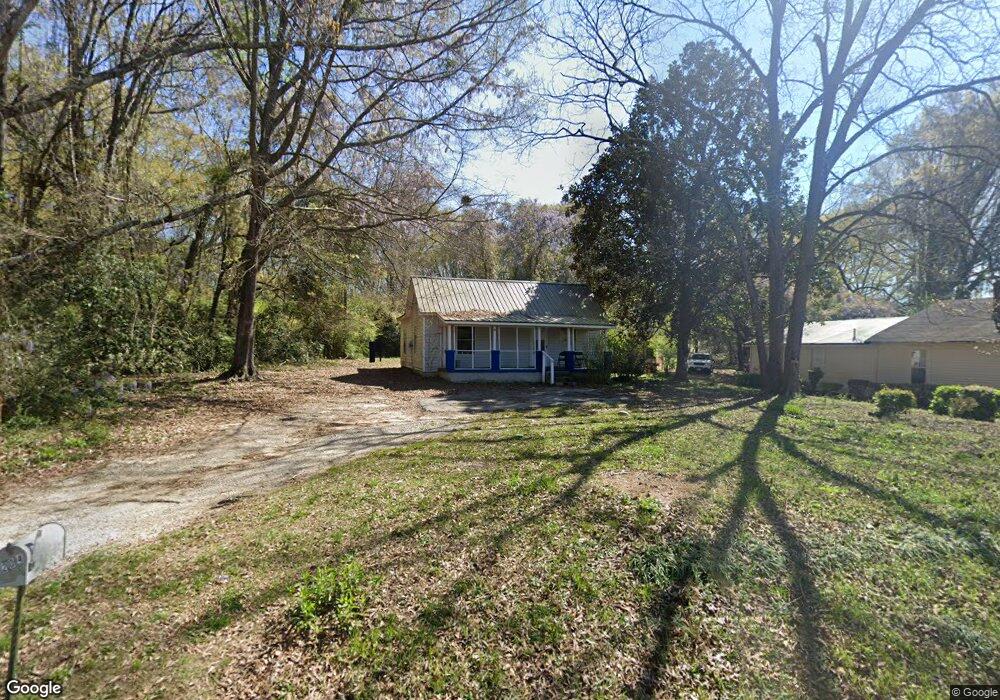
204 Bagley St Lagrange, GA 30241
Estimated Value: $73,000 - $104,000
2
Beds
1
Bath
906
Sq Ft
$98/Sq Ft
Est. Value
About This Home
This home is located at 204 Bagley St, Lagrange, GA 30241 and is currently estimated at $88,687, approximately $97 per square foot. 204 Bagley St is a home with nearby schools including Callaway Elementary School, Hogansville Elementary School, and Callaway Middle School.
Ownership History
Date
Name
Owned For
Owner Type
Purchase Details
Closed on
May 15, 1992
Sold by
Donnell Gates
Bought by
Allen Loraine S
Current Estimated Value
Purchase Details
Closed on
Feb 14, 1992
Sold by
Charlie Johnson
Bought by
Donnell Gates
Purchase Details
Closed on
Dec 7, 1990
Sold by
Allen Loraine S Etal
Bought by
Charlie Johnson
Purchase Details
Closed on
Feb 18, 1988
Sold by
Allen Derak C
Bought by
Allen Loraine S Etal
Purchase Details
Closed on
Aug 16, 1983
Sold by
Rhodes Mary Ellen
Bought by
Allen Derak C
Purchase Details
Closed on
Aug 15, 1983
Sold by
Rhodes Mary Ellen
Bought by
Rhodes Mary Ellen
Purchase Details
Closed on
Feb 1, 1947
Bought by
Rhodes Mary Ellen
Create a Home Valuation Report for This Property
The Home Valuation Report is an in-depth analysis detailing your home's value as well as a comparison with similar homes in the area
Home Values in the Area
Average Home Value in this Area
Purchase History
| Date | Buyer | Sale Price | Title Company |
|---|---|---|---|
| Allen Loraine S | -- | -- | |
| Donnell Gates | -- | -- | |
| Charlie Johnson | -- | -- | |
| Allen Loraine S Etal | -- | -- | |
| Allen Derak C | $11,000 | -- | |
| Rhodes Mary Ellen | -- | -- | |
| Rhodes Mary Ellen | -- | -- |
Source: Public Records
Tax History Compared to Growth
Tax History
| Year | Tax Paid | Tax Assessment Tax Assessment Total Assessment is a certain percentage of the fair market value that is determined by local assessors to be the total taxable value of land and additions on the property. | Land | Improvement |
|---|---|---|---|---|
| 2024 | $409 | $15,000 | $3,920 | $11,080 |
| 2023 | $353 | $12,960 | $3,920 | $9,040 |
| 2022 | $346 | $12,400 | $3,920 | $8,480 |
| 2021 | $316 | $10,480 | $1,960 | $8,520 |
| 2020 | $258 | $8,560 | $1,960 | $6,600 |
| 2019 | $238 | $7,888 | $1,968 | $5,920 |
| 2018 | $238 | $7,888 | $1,968 | $5,920 |
| 2017 | $238 | $7,888 | $1,968 | $5,920 |
| 2016 | $233 | $7,736 | $1,968 | $5,768 |
| 2015 | $234 | $7,736 | $1,968 | $5,768 |
| 2014 | $224 | $7,397 | $1,968 | $5,429 |
| 2013 | -- | $7,802 | $1,968 | $5,834 |
Source: Public Records
Map
Nearby Homes
- 0 Bagley St
- 0 Boggs St Unit 10550243
- 0 Boggs St Unit 10550231
- 0 Boggs St Unit 10550239
- 0 Boggs St Unit 10550250
- 304 Butler St
- 101 Cedar St
- 109 Bell St
- 1191 Whitesville St
- 901 Whiteline St
- 1404 Hamilton Rd
- 114 Brenda Blvd
- 0 E Fendig St
- 113 E Fendig St
- LOT 33 E Hillside Dr
- LOT 34 E Hillside Dr
- W W Crovat St
- 501 Milam St
- 130 Edgewood Ave
- 311 Colquitt St
- 202 Bagley St
- 200A Bagley St
- 118 Cedar St
- 116 Cedar St
- 0 Cedar St Unit 8157522
- 0 Cedar St Unit 8387395
- 206 Cedar St
- 200 Bagley St
- 203 Bagley St
- 201 Bagley St
- 121 Cedar St
- 0 Boggs St Unit 8708160
- 0 Boggs St Unit 8708156
- 0 Boggs St Unit 8708162
- 0 Boggs St
- 209 Butler St
- 115 Cedar St
- 103 Butler St
- 200 Butler St
- 109 Cedar St