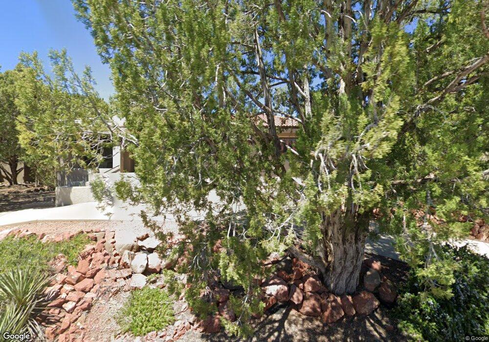
204 Bowstring Dr Sedona, AZ 86336
Estimated Value: $1,314,000 - $1,840,000
4
Beds
1
Bath
3,571
Sq Ft
$451/Sq Ft
Est. Value
About This Home
This home is located at 204 Bowstring Dr, Sedona, AZ 86336 and is currently estimated at $1,611,485, approximately $451 per square foot. 204 Bowstring Dr is a home located in Coconino County with nearby schools including Manuel Demiguel Elementary School and Flagstaff High School.
Ownership History
Date
Name
Owned For
Owner Type
Purchase Details
Closed on
May 21, 2011
Sold by
Venkat Chaya
Bought by
Fortman Peter Anthony and Venkat Radha
Current Estimated Value
Purchase Details
Closed on
May 31, 2000
Sold by
White William B and White Barbara E
Bought by
Venkat P C and Venkat Chaya
Purchase Details
Closed on
Mar 7, 1997
Sold by
Bowen Taylor
Bought by
White William B and White Barbara E
Home Financials for this Owner
Home Financials are based on the most recent Mortgage that was taken out on this home.
Original Mortgage
$327,500
Interest Rate
7.63%
Mortgage Type
Seller Take Back
Create a Home Valuation Report for This Property
The Home Valuation Report is an in-depth analysis detailing your home's value as well as a comparison with similar homes in the area
Home Values in the Area
Average Home Value in this Area
Purchase History
| Date | Buyer | Sale Price | Title Company |
|---|---|---|---|
| Fortman Peter Anthony | -- | None Available | |
| Venkat P C | $382,000 | Transnation Title Insurance | |
| White William B | $357,500 | Transnation Title Ins Co |
Source: Public Records
Mortgage History
| Date | Status | Borrower | Loan Amount |
|---|---|---|---|
| Previous Owner | White William B | $327,500 |
Source: Public Records
Tax History
| Year | Tax Paid | Tax Assessment Tax Assessment Total Assessment is a certain percentage of the fair market value that is determined by local assessors to be the total taxable value of land and additions on the property. | Land | Improvement |
|---|---|---|---|---|
| 2025 | $5,117 | $130,870 | -- | -- |
| 2024 | $5,117 | $125,352 | -- | -- |
| 2023 | $4,869 | $98,810 | $0 | $0 |
| 2022 | $4,696 | $74,791 | $0 | $0 |
| 2021 | $4,551 | $62,234 | $0 | $0 |
| 2020 | $4,482 | $62,589 | $0 | $0 |
| 2019 | $4,355 | $59,867 | $0 | $0 |
| 2018 | $4,276 | $59,217 | $0 | $0 |
| 2017 | $4,248 | $56,428 | $0 | $0 |
| 2016 | $4,185 | $50,720 | $0 | $0 |
Source: Public Records
Map
Nearby Homes
- 45 Wagon Trail Dr Unit 3
- 90 Doodlebug Knolls
- 1204 Highway 179
- 1510 Highway 179 Unit 31
- 90 Doodlebug Rd
- 1201 Palisades Dr S Unit 31-32
- 40 Blackhawk Ln
- 130 Palisades Drive Spur N
- 40 Roadrunner Ln
- 48 Lewis Way
- 231 Palisades Dr N
- 15 & 25 Cactus Dr Unit 135 &
- 190 Lewis Way
- 125 Redstone Dr
- 365 Oak Creek Cliffs Dr Unit 2
- 345-385 Oak Creek Cliffs Dr Unit 8
- 110 Sugar Loaf Dr
- 91 W Mallard Dr
- 121 E Mallard Dr Unit 90
- 221 Arroyo Sienna Dr
Your Personal Tour Guide
Ask me questions while you tour the home.