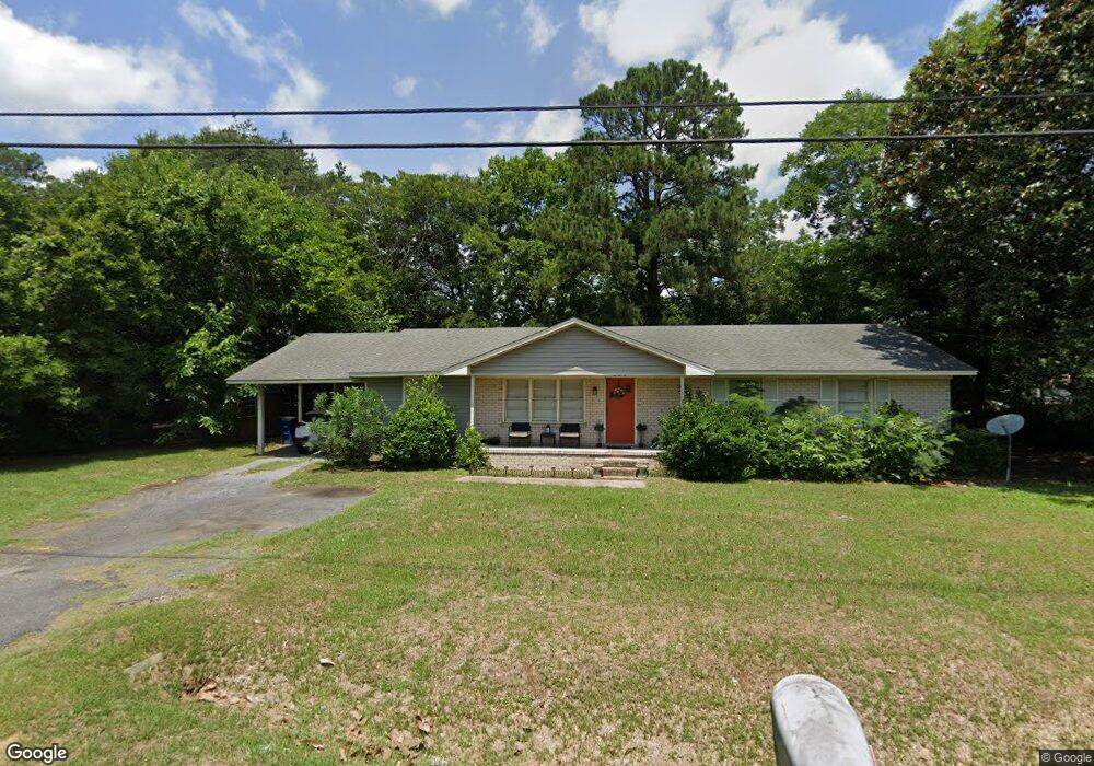
204 Brockington Rd Unit 1625 Darlington, SC 29532
Estimated Value: $93,000 - $148,000
5
Beds
2
Baths
1,953
Sq Ft
$61/Sq Ft
Est. Value
About This Home
This home is located at 204 Brockington Rd Unit 1625, Darlington, SC 29532 and is currently estimated at $119,978, approximately $61 per square foot. 204 Brockington Rd Unit 1625 is a home located in Darlington County with nearby schools including Pate Elementary School, Brockington Elementary Magnet School, and Darlington Middle School.
Ownership History
Date
Name
Owned For
Owner Type
Purchase Details
Closed on
Dec 2, 2009
Sold by
Williamsburg First National Bank
Bought by
Snyder Robert L
Current Estimated Value
Purchase Details
Closed on
Nov 23, 2009
Sold by
Global Works Llc
Bought by
Williamsburg First National Bank
Purchase Details
Closed on
Sep 21, 2007
Sold by
Powe Joseph
Bought by
Global Works Llc
Purchase Details
Closed on
Aug 27, 2007
Sold by
Nationstar Mortgage Llc
Bought by
Powe Joseph
Purchase Details
Closed on
Jun 19, 2007
Sold by
Green John L
Bought by
Nationstar Mortgage Llc
Create a Home Valuation Report for This Property
The Home Valuation Report is an in-depth analysis detailing your home's value as well as a comparison with similar homes in the area
Home Values in the Area
Average Home Value in this Area
Purchase History
| Date | Buyer | Sale Price | Title Company |
|---|---|---|---|
| Snyder Robert L | $24,937 | -- | |
| Williamsburg First National Bank | $72,000 | -- | |
| Global Works Llc | $53,000 | None Available | |
| Powe Joseph | $45,000 | None Available | |
| Nationstar Mortgage Llc | $67,184 | None Available |
Source: Public Records
Tax History Compared to Growth
Tax History
| Year | Tax Paid | Tax Assessment Tax Assessment Total Assessment is a certain percentage of the fair market value that is determined by local assessors to be the total taxable value of land and additions on the property. | Land | Improvement |
|---|---|---|---|---|
| 2024 | $1,761 | $4,100 | $0 | $0 |
| 2023 | $594 | $3,560 | $0 | $0 |
| 2022 | $594 | $3,560 | $0 | $0 |
| 2021 | $594 | $3,560 | $0 | $0 |
| 2020 | $1,398 | $3,560 | $0 | $0 |
| 2019 | $1,410 | $3,560 | $0 | $0 |
| 2018 | $1,193 | $3,100 | $600 | $2,500 |
| 2017 | $1,141 | $3,100 | $600 | $2,500 |
| 2016 | $1,090 | $3,100 | $600 | $2,500 |
| 2014 | $1,109 | $3,100 | $600 | $2,500 |
| 2013 | $1,525 | $2,700 | $600 | $2,100 |
Source: Public Records
Map
Nearby Homes
- 265 Syracuse St
- Lot 14 Wildshall Rd
- 0 Harry Byrd Hwy
- 113 Cleveland St
- 1011 Pearl St
- 116 Cleveland St
- TBD Lamar Hwy
- S Governor Williams Hwy
- 6 Acres S Governor Williams Hwy
- 2213 Highway 52
- 2225 Highway 52
- 406 Pine St
- 1977 E Paces Trail
- 1983 E Paces Trail
- 1970 E Paces Trail
- 5183 Shallowford Rd
- 5189 Shallowford Rd
- 5177 Shallowford Rd
- 500 Alexander St
- 116 Reid St
- 103 Jeffery St
- 202 Brockington Rd
- 105 Jeffery St
- 206 Brockington Rd
- 203 Brockington Rd
- 201 Brockington Rd
- 205 Brockington Rd
- 107 Jeffery St
- 108 Jeffery St
- 110 Jeffery St
- 207 Brockington Rd
- 106 Jeffery St
- 112 Jeffery St
- 208 Brockington Rd
- 109 Jeffery St
- 104 Jeffery St
- 108 Flynn Cir
- 209 Brockington Rd
- 106 Brockington Rd
- 106 Brockington Rd