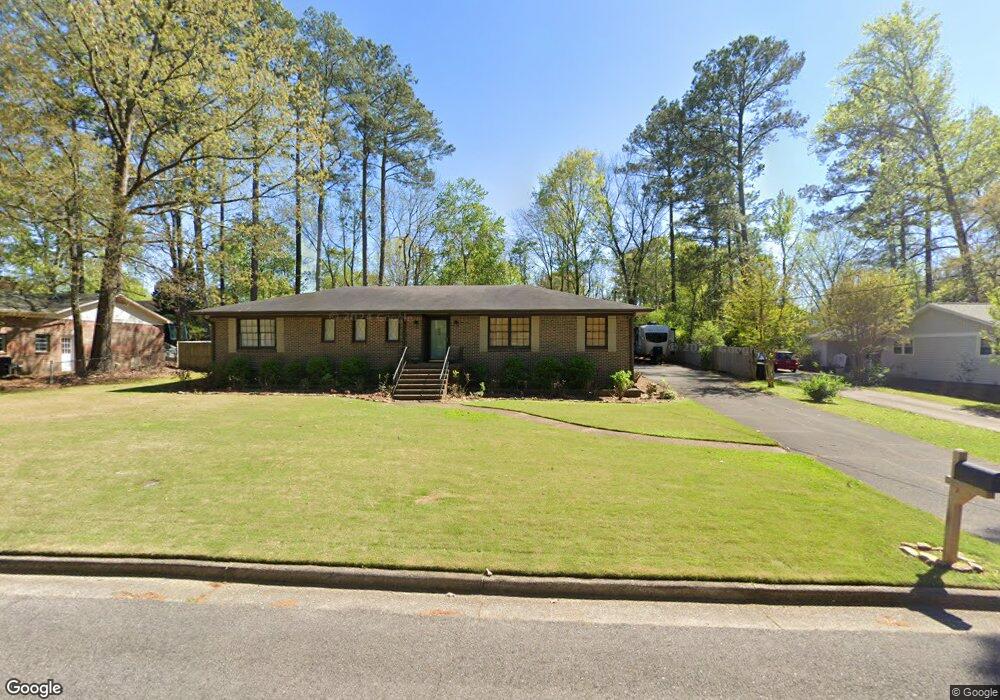
204 Brookhaven Dr Gadsden, AL 35901
Estimated Value: $222,526 - $328,000
3
Beds
2
Baths
2,079
Sq Ft
$128/Sq Ft
Est. Value
About This Home
This home is located at 204 Brookhaven Dr, Gadsden, AL 35901 and is currently estimated at $266,132, approximately $128 per square foot. 204 Brookhaven Dr is a home located in Etowah County with nearby schools including John S. Jones Elementary School, Southside High School, and Rainbow Middle School.
Ownership History
Date
Name
Owned For
Owner Type
Purchase Details
Closed on
Sep 24, 2015
Sold by
Majors Mary Christine
Bought by
Komoroski Margaret Anne
Current Estimated Value
Purchase Details
Closed on
May 29, 2015
Bought by
Mayfield Jack B and Mayfield Dena L
Home Financials for this Owner
Home Financials are based on the most recent Mortgage that was taken out on this home.
Original Mortgage
$94,400
Interest Rate
3.79%
Mortgage Type
New Conventional
Create a Home Valuation Report for This Property
The Home Valuation Report is an in-depth analysis detailing your home's value as well as a comparison with similar homes in the area
Home Values in the Area
Average Home Value in this Area
Purchase History
| Date | Buyer | Sale Price | Title Company |
|---|---|---|---|
| Komoroski Margaret Anne | -- | -- | |
| Mayfield Jack B | $118,000 | -- |
Source: Public Records
Mortgage History
| Date | Status | Borrower | Loan Amount |
|---|---|---|---|
| Previous Owner | Mayfield Jack B | $94,400 |
Source: Public Records
Tax History Compared to Growth
Tax History
| Year | Tax Paid | Tax Assessment Tax Assessment Total Assessment is a certain percentage of the fair market value that is determined by local assessors to be the total taxable value of land and additions on the property. | Land | Improvement |
|---|---|---|---|---|
| 2025 | $956 | $19,520 | $3,340 | $16,180 |
| 2024 | $846 | $18,260 | $3,120 | $15,140 |
| 2023 | $846 | $18,260 | $3,120 | $15,140 |
| 2022 | $712 | $15,530 | $3,120 | $12,410 |
| 2021 | $599 | $13,220 | $3,120 | $10,100 |
| 2020 | $599 | $13,220 | $0 | $0 |
| 2019 | $599 | $13,220 | $0 | $0 |
| 2017 | $576 | $12,760 | $0 | $0 |
| 2016 | $399 | $12,620 | $0 | $0 |
| 2015 | $433 | $0 | $0 | $0 |
| 2013 | -- | $13,400 | $0 | $0 |
Source: Public Records
Map
Nearby Homes
- 217 Monterey Cir
- .34 +/- Acres Lakeshore Dr
- 6.75 Acres Brown Ave
- 219 Cordell St
- 116 Meadowview Cir
- 201 Roberts Ave
- 1255 Sangster Rd
- 108 Gwindale Rd
- 135 Bryant St
- 403 Forest Rd
- 1105 Sangster Rd
- 207 Wildwood Rd
- 509 Country Club Dr
- 8 Horizon Place Unit 8,15,16,17,33,34,38,
- 11 Camille Cir
- 211 Alpine View
- 238 Sunnydale Rd
- 216 Merit Cir
- 243 Hayden Ave
- 303 Autumnwood Ln
- 208 Brookhaven Dr
- 200 Brookhaven Dr
- 205 Brookhaven Dr
- 212 Brookhaven Dr
- 209 Brookhaven Dr
- 115 Brown Ave
- 201 Brookhaven Dr
- 216 Brookhaven Dr
- 213 Brookhaven Dr
- 113 Janelle Dr
- 204 Monterey Cir
- 200 Monterey Cir
- 201 Janelle Dr
- 220 Brookhaven Dr
- 208 Monterey Cir
- 2703 Wren Dr
- 217 Brookhaven Dr
- 205 Janelle Dr
- 119 Brown Ave
- 212 Monterey Cir