204 Brumsey Rd Unit 13/14 Moyock, NC 27958
Estimated Value: $510,000 - $607,000
4
Beds
4
Baths
2,809
Sq Ft
$205/Sq Ft
Est. Value
About This Home
This home is located at 204 Brumsey Rd Unit 13/14, Moyock, NC 27958 and is currently estimated at $575,589, approximately $204 per square foot. 204 Brumsey Rd Unit 13/14 is a home located in Currituck County with nearby schools including Shawboro Elementary School, Moyock Middle School, and Currituck County High School.
Ownership History
Date
Name
Owned For
Owner Type
Purchase Details
Closed on
Jun 28, 2010
Sold by
Kemp Chad C and Kemp Danielle C
Bought by
Perez Gabriel N and Perez Christina K
Current Estimated Value
Home Financials for this Owner
Home Financials are based on the most recent Mortgage that was taken out on this home.
Original Mortgage
$474,925
Outstanding Balance
$317,325
Interest Rate
4.83%
Mortgage Type
VA
Estimated Equity
$258,264
Purchase Details
Closed on
May 16, 2006
Sold by
Toll Mickey C and Toll Christine
Bought by
Kemp Chad C and Kemp Danielle C
Home Financials for this Owner
Home Financials are based on the most recent Mortgage that was taken out on this home.
Original Mortgage
$412,910
Interest Rate
6.12%
Mortgage Type
Adjustable Rate Mortgage/ARM
Create a Home Valuation Report for This Property
The Home Valuation Report is an in-depth analysis detailing your home's value as well as a comparison with similar homes in the area
Home Values in the Area
Average Home Value in this Area
Purchase History
| Date | Buyer | Sale Price | Title Company |
|---|---|---|---|
| Perez Gabriel N | $480,000 | None Available | |
| Kemp Chad C | $649,000 | None Available |
Source: Public Records
Mortgage History
| Date | Status | Borrower | Loan Amount |
|---|---|---|---|
| Open | Perez Gabriel N | $474,925 | |
| Previous Owner | Kemp Chad C | $412,910 |
Source: Public Records
Tax History Compared to Growth
Tax History
| Year | Tax Paid | Tax Assessment Tax Assessment Total Assessment is a certain percentage of the fair market value that is determined by local assessors to be the total taxable value of land and additions on the property. | Land | Improvement |
|---|---|---|---|---|
| 2024 | $2,537 | $366,500 | $96,300 | $270,200 |
| 2023 | $2,528 | $366,500 | $96,300 | $270,200 |
| 2022 | $1,925 | $366,500 | $96,300 | $270,200 |
| 2021 | $1,917 | $319,400 | $94,900 | $224,500 |
| 2020 | $1,683 | $319,400 | $94,900 | $224,500 |
| 2019 | $1,683 | $319,400 | $94,900 | $224,500 |
| 2018 | $1,683 | $319,400 | $94,900 | $224,500 |
| 2017 | $1,647 | $319,400 | $94,900 | $224,500 |
| 2016 | $1,647 | $319,400 | $94,900 | $224,500 |
| 2015 | $1,647 | $319,400 | $94,900 | $224,500 |
Source: Public Records
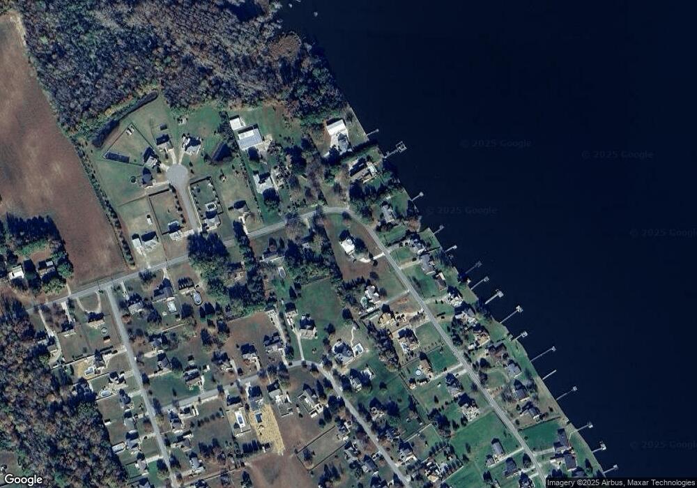
Map
Nearby Homes
- 101 Bayside Dr
- 0 Tulls Creek Unit 100510740
- 113 Baxter Grove Rd
- MM Northern Pine (Derring I) Dr
- 121 Bayside Dr
- 121 Bayside Dr Unit Lot 71
- 107 Clearwood Dr
- 122 Dozier Rd
- 219 Ambrose Ln
- 192 Baxter Estates Rd
- 110 Carotauk Dr
- 106 Sound Shore Dr
- 182 Wedgewood Dr
- 114 Dogwood Dr Unit Lot 12
- 100 Roberta Loop
- 102 Roberta Loop
- 137 Robert Walker Rd
- 117 Laurel Woods Way
- 101 Donna Ct
- 101 Donna Ct Unit Lot 47
- 204 Brumsey Rd
- 190 Brumsey Rd
- 205 Brumsey Rd
- 214 Brumsey Rd
- 201 Brumsey Rd Unit N/A
- 201 Brumsey Rd
- 213 Brumsey Rd
- 184 Brumsey Rd
- 217 Brumsey Rd
- 197 Brumsey Rd
- 218 Brumsey Rd
- 109 Elizabeth Cir
- 105 Brumsey Rd
- 0 Lot 8 Brumsey Rd Unit 84675
- 221 Brumsey Rd
- 111 Elizabeth Cir
- 176 Brumsey Rd
- 102 Brumsey Rd Unit 20
- 101 Brumsey Rd
- 183 Brumsey Rd