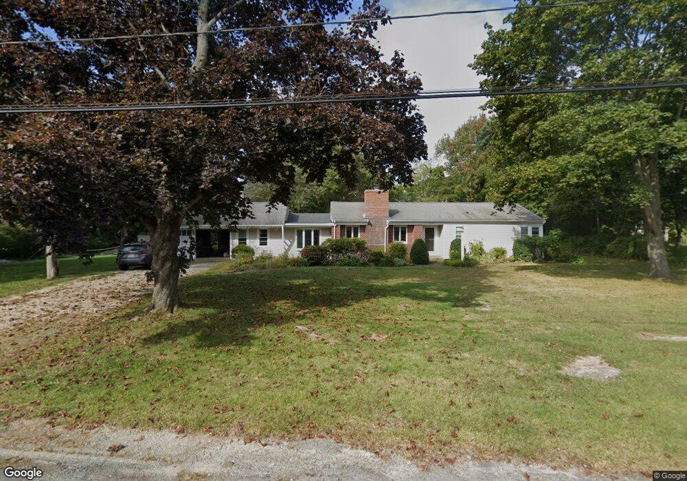
204 Captain Peirce Rd Scituate, MA 02066
Estimated Value: $787,505 - $931,000
3
Beds
1
Bath
1,613
Sq Ft
$526/Sq Ft
Est. Value
About This Home
This home is located at 204 Captain Peirce Rd, Scituate, MA 02066 and is currently estimated at $848,876, approximately $526 per square foot. 204 Captain Peirce Rd is a home located in Plymouth County with nearby schools including Cushing Elementary School, Lester J. Gates Middle School, and Scituate High School.
Ownership History
Date
Name
Owned For
Owner Type
Purchase Details
Closed on
Apr 21, 2006
Sold by
Wkg Rt
Bought by
Golden William E and Golden Karen B
Current Estimated Value
Home Financials for this Owner
Home Financials are based on the most recent Mortgage that was taken out on this home.
Original Mortgage
$147,000
Outstanding Balance
$84,844
Interest Rate
6.34%
Estimated Equity
$764,032
Purchase Details
Closed on
May 26, 2004
Sold by
Golden William E and Golden Karen B
Bought by
Wkg Rt
Purchase Details
Closed on
Nov 15, 1999
Sold by
Smith Timothy H and Cronin Smith Lisa A
Bought by
Golden Williame E and Golden Karen B
Purchase Details
Closed on
Jun 16, 1989
Sold by
Cataldo Ann
Bought by
Smith Timothy H
Create a Home Valuation Report for This Property
The Home Valuation Report is an in-depth analysis detailing your home's value as well as a comparison with similar homes in the area
Home Values in the Area
Average Home Value in this Area
Purchase History
| Date | Buyer | Sale Price | Title Company |
|---|---|---|---|
| Golden William E | -- | -- | |
| Wkg Rt | -- | -- | |
| Golden Williame E | $270,000 | -- | |
| Smith Timothy H | $175,000 | -- |
Source: Public Records
Mortgage History
| Date | Status | Borrower | Loan Amount |
|---|---|---|---|
| Open | Smith Timothy H | $147,000 | |
| Previous Owner | Smith Timothy H | $98,000 |
Source: Public Records
Tax History Compared to Growth
Tax History
| Year | Tax Paid | Tax Assessment Tax Assessment Total Assessment is a certain percentage of the fair market value that is determined by local assessors to be the total taxable value of land and additions on the property. | Land | Improvement |
|---|---|---|---|---|
| 2025 | $6,358 | $636,400 | $387,700 | $248,700 |
| 2024 | $6,216 | $600,000 | $352,500 | $247,500 |
| 2023 | $6,511 | $561,400 | $338,200 | $223,200 |
| 2022 | $6,511 | $515,900 | $309,800 | $206,100 |
| 2021 | $6,284 | $471,400 | $295,000 | $176,400 |
| 2020 | $5,994 | $444,000 | $283,600 | $160,400 |
| 2019 | $5,929 | $431,500 | $278,100 | $153,400 |
| 2018 | $5,594 | $401,000 | $276,500 | $124,500 |
| 2017 | $5,487 | $389,400 | $264,900 | $124,500 |
| 2016 | $5,181 | $366,400 | $241,900 | $124,500 |
| 2015 | $4,649 | $354,900 | $230,400 | $124,500 |
Source: Public Records
Map
Nearby Homes
- 14 Aberdeen Dr
- 9 Kyle Path
- 112 Hollett St
- 11 Forest Ln
- 9 Forest Ln Unit 9
- 59 Captain Peirce Rd
- 22 Forest Ln Unit 22
- 32 Fairview Ave
- 16 3 Ring Rd
- 54 Woodland Rd
- 84 Booth Hill Rd
- 8 Trudys Ln
- 26 Mordecai Lincoln Rd
- 2 Windward Ln
- 22 Kings Way
- 575 First Parish Rd
- 817 Country Way
- 378 Tilden Rd
- 7 Border St
- 29 Country Club Cir
- 203 Captain Peirce Rd
- 79 Pratt Rd
- 201 Captain Peirce Rd
- 201 Captain Peirce Rd
- 85 Pratt Rd
- 210 Captain Peirce Rd
- 209 Captain Peirce Rd
- 73 Pratt Rd
- 191 Captain Peirce Rd
- 9 Blueberry Ln
- 89 Pratt Rd
- 196 Captain Pierce Rd
- 74 Pratt Rd
- 4 Blueberry Ln
- 93 Pratt Rd
- 190 Captain Pierce Rd
- 2 Blueberry Ln
- 189 Captain Pierce Rd
- 23 Puritan Dr
- 8 Blueberry Ln