B
Seller's Agent in 2025
Bennett Arey
Arey Real Estate
(573) 489-1746
215 Total Sales
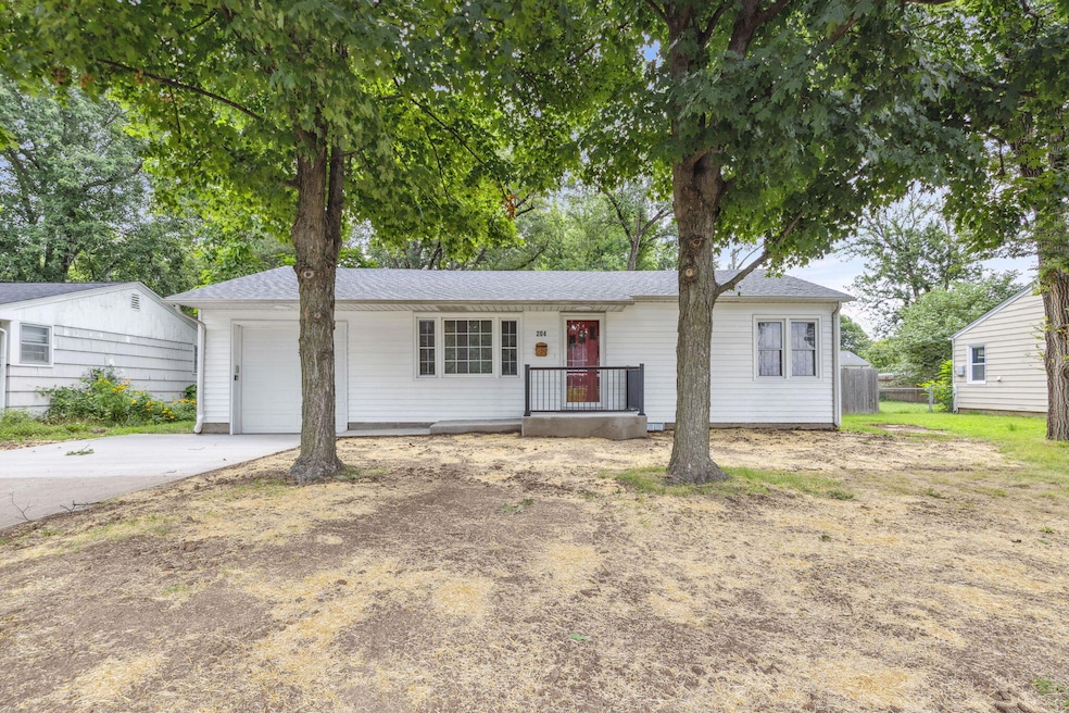
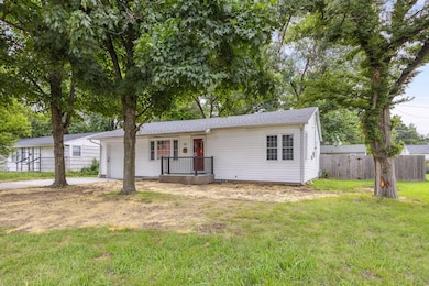
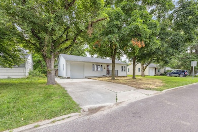
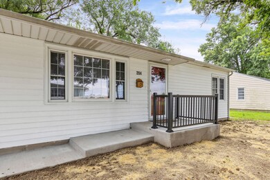
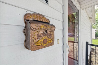
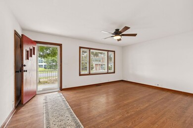
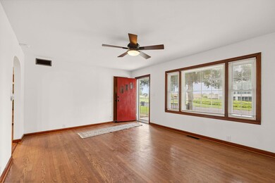
This move-in ready home has been recently renovated and is perfectly positioned just steps from your favorite local spots! Hit the gym, grab groceries, or stroll the farmers market, all within ONE block.
With a rare backyard and unbeatable walkability, this is your chance to own a slice of the city that feels like home.
Home comes with a 1 year home warranty for peace of mind.
Last Agent to Sell the Property
Arey Real Estate License #2013032385 Listed on: 07/01/2025
| Date | Type | Sale Price | Title Company |
|---|---|---|---|
| Warranty Deed | -- | Boone Central Title | |
| Warranty Deed | -- | None Available | |
| Interfamily Deed Transfer | -- | Boone Central Title Company |
| Date | Status | Loan Amount | Loan Type |
|---|---|---|---|
| Open | $190,000 | New Conventional | |
| Previous Owner | $270,000 | Future Advance Clause Open End Mortgage | |
| Previous Owner | $75,600 | Commercial | |
| Previous Owner | $58,500 | New Conventional | |
| Previous Owner | $66,750 | New Conventional |
| Date | Event | Price | List to Sale | Price per Sq Ft |
|---|---|---|---|---|
| 07/22/2025 07/22/25 | Sold | -- | -- | -- |
| 07/02/2025 07/02/25 | Pending | -- | -- | -- |
| 07/01/2025 07/01/25 | For Sale | $189,900 | -- | $194 / Sq Ft |
| Year | Tax Paid | Tax Assessment Tax Assessment Total Assessment is a certain percentage of the fair market value that is determined by local assessors to be the total taxable value of land and additions on the property. | Land | Improvement |
|---|---|---|---|---|
| 2025 | $1,133 | $19,228 | $2,565 | $16,663 |
| 2024 | $1,133 | $16,796 | $2,565 | $14,231 |
| 2023 | $1,124 | $16,796 | $2,565 | $14,231 |
| 2022 | $1,002 | $14,991 | $2,565 | $12,426 |
| 2021 | $1,004 | $14,991 | $2,565 | $12,426 |
| 2020 | $988 | $13,871 | $2,565 | $11,306 |
| 2019 | $988 | $13,871 | $2,565 | $11,306 |
| 2018 | $922 | $0 | $0 | $0 |
| 2017 | $911 | $12,844 | $2,565 | $10,279 |
| 2016 | $935 | $12,844 | $2,565 | $10,279 |
| 2015 | $862 | $12,844 | $2,565 | $10,279 |
| 2014 | -- | $12,844 | $2,565 | $10,279 |
B
Seller's Agent in 2025
Bennett Arey
Arey Real Estate
(573) 489-1746
215 Total Sales

Buyer's Agent in 2025
Sean Moore
RE/MAX
(573) 424-7420
727 Total Sales
Source: Columbia Board of REALTORS®
MLS Number: 428163
APN: 16-317-00-08-021-00-01
Disclaimer: Certain information contained herein is derived from information provided by parties other than Homes.com. All information provided is deemed reliable, but is not guaranteed to be accurate and should be independently verified.
![]() IDX information is provided exclusively for personal, non-commercial use, and may not be used for any purpose other than to identify prospective properties consumers may be interested in purchasing. Information is deemed reliable but not guaranteed.
IDX information is provided exclusively for personal, non-commercial use, and may not be used for any purpose other than to identify prospective properties consumers may be interested in purchasing. Information is deemed reliable but not guaranteed.