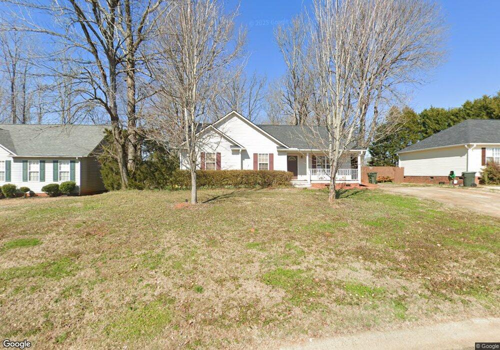
204 Dewars Dr Rock Hill, SC 29730
Estimated Value: $296,000 - $326,000
--
Bed
--
Bath
1,433
Sq Ft
$215/Sq Ft
Est. Value
About This Home
This home is located at 204 Dewars Dr, Rock Hill, SC 29730 and is currently estimated at $308,205, approximately $215 per square foot. 204 Dewars Dr is a home located in York County with nearby schools including Saluda Trail Middle School, South Pointe High School, and Providence Classical School.
Ownership History
Date
Name
Owned For
Owner Type
Purchase Details
Closed on
Jul 27, 2007
Sold by
Gentry Beverly and Gentry Joseph
Bought by
Barker John Thomas and Barker Kathryn H
Current Estimated Value
Home Financials for this Owner
Home Financials are based on the most recent Mortgage that was taken out on this home.
Original Mortgage
$121,800
Outstanding Balance
$77,078
Interest Rate
6.65%
Mortgage Type
FHA
Estimated Equity
$231,127
Purchase Details
Closed on
Sep 24, 1999
Sold by
Infinity Designs Inc
Bought by
Gentry Joseph M
Purchase Details
Closed on
May 17, 1999
Sold by
Piedmont Ptrs
Bought by
Infinity Designs Inc
Create a Home Valuation Report for This Property
The Home Valuation Report is an in-depth analysis detailing your home's value as well as a comparison with similar homes in the area
Home Values in the Area
Average Home Value in this Area
Purchase History
| Date | Buyer | Sale Price | Title Company |
|---|---|---|---|
| Barker John Thomas | $135,000 | Attorney | |
| Gentry Joseph M | $112,900 | -- | |
| Infinity Designs Inc | $17,500 | -- |
Source: Public Records
Mortgage History
| Date | Status | Borrower | Loan Amount |
|---|---|---|---|
| Open | Barker John Thomas | $121,800 |
Source: Public Records
Tax History Compared to Growth
Tax History
| Year | Tax Paid | Tax Assessment Tax Assessment Total Assessment is a certain percentage of the fair market value that is determined by local assessors to be the total taxable value of land and additions on the property. | Land | Improvement |
|---|---|---|---|---|
| 2024 | $1,080 | $4,922 | $1,276 | $3,646 |
| 2023 | $1,083 | $4,922 | $1,276 | $3,646 |
| 2022 | $1,090 | $4,922 | $1,276 | $3,646 |
| 2021 | -- | $4,922 | $1,276 | $3,646 |
| 2020 | $1,093 | $4,922 | $0 | $0 |
| 2019 | $980 | $4,280 | $0 | $0 |
| 2018 | $979 | $4,280 | $0 | $0 |
| 2017 | $943 | $4,280 | $0 | $0 |
| 2016 | $934 | $4,280 | $0 | $0 |
| 2014 | $1,048 | $4,280 | $1,200 | $3,080 |
| 2013 | $1,048 | $5,040 | $1,200 | $3,840 |
Source: Public Records
Map
Nearby Homes
- 309 Haddington Ct
- 823 Prestwick Dr
- 564 Menzies Dr
- 922 Peoria Ln
- 1195 Cavalier Ln
- 861 Carey Dr
- 1257 Reese Roach Rd
- 851 Gist Rd
- 1024 Westover Cir
- 235 Florence St
- 426 Williamson St
- 481 Milhaven St
- 417 Baker Street Extension
- 536 Glenn St
- 329 Arnold St
- 15 Wright St
- 1650 W Main St
- 66 Reynolds St Unit 22
- 333 Friendship Dr
- 1625 Begonia Way
- 200 Dewars Dr
- 208 Dewars Dr
- 212 Dewars Dr
- 205 Dewars Dr
- 201 Dewars Dr
- 209 Dewars Dr
- 213 Dewars Dr
- 217 Dewars Dr Unit 41
- 411 Berwick Dr
- 411 Berwick Dr
- 220 Dewars Dr
- 405 Berwick Dr
- 101 Scottie Ct
- 224 Dewars Dr
- 402 Berwick Dr
- 417 Berwick Dr
- 105 Scottie Ct
- 109 Scottie Ct
- 109 Scottie Ct Unit 38
- 228 Dewars Dr