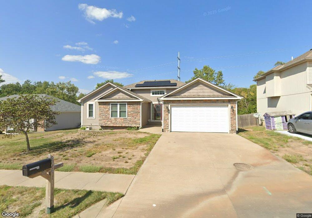
204 Division St Knob Noster, MO 65336
Estimated Value: $303,000 - $368,000
Studio
--
Bath
2,603
Sq Ft
$131/Sq Ft
Est. Value
About This Home
This home is located at 204 Division St, Knob Noster, MO 65336 and is currently estimated at $339,753, approximately $130 per square foot. 204 Division St is a home located in Johnson County with nearby schools including Knob Noster High School.
Ownership History
Date
Name
Owned For
Owner Type
Purchase Details
Closed on
Oct 12, 2007
Sold by
G 3 Enterprises Llc
Bought by
Fisk Alan P and Fisk Ruth Kathy
Current Estimated Value
Home Financials for this Owner
Home Financials are based on the most recent Mortgage that was taken out on this home.
Original Mortgage
$182,444
Outstanding Balance
$112,181
Interest Rate
6.37%
Mortgage Type
Future Advance Clause Open End Mortgage
Estimated Equity
$227,572
Purchase Details
Closed on
May 23, 2007
Sold by
Sws Development Llc
Bought by
G3 Enterprises Llc
Home Financials for this Owner
Home Financials are based on the most recent Mortgage that was taken out on this home.
Original Mortgage
$132,800
Interest Rate
6.17%
Mortgage Type
Construction
Create a Home Valuation Report for This Property
The Home Valuation Report is an in-depth analysis detailing your home's value as well as a comparison with similar homes in the area
Home Values in the Area
Average Home Value in this Area
Purchase History
| Date | Buyer | Sale Price | Title Company |
|---|---|---|---|
| Fisk Alan P | -- | -- | |
| G3 Enterprises Llc | -- | -- |
Source: Public Records
Mortgage History
| Date | Status | Borrower | Loan Amount |
|---|---|---|---|
| Open | Fisk Alan P | $182,444 | |
| Previous Owner | G3 Enterprises Llc | $132,800 |
Source: Public Records
Tax History
| Year | Tax Paid | Tax Assessment Tax Assessment Total Assessment is a certain percentage of the fair market value that is determined by local assessors to be the total taxable value of land and additions on the property. | Land | Improvement |
|---|---|---|---|---|
| 2025 | $2,541 | $41,027 | $0 | $0 |
| 2024 | $2,259 | $37,843 | $0 | $0 |
| 2023 | $2,259 | $37,843 | $0 | $0 |
| 2022 | $2,170 | $36,377 | $0 | $0 |
| 2021 | $2,241 | $36,377 | $0 | $0 |
| 2020 | $2,164 | $34,911 | $0 | $0 |
| 2019 | $2,108 | $34,911 | $0 | $0 |
| 2017 | $2,007 | $34,911 | $0 | $0 |
| 2016 | $2,011 | $34,911 | $0 | $0 |
| 2015 | $2,031 | $34,911 | $0 | $0 |
| 2014 | $2,030 | $34,911 | $0 | $0 |
Source: Public Records
Map
Nearby Homes
- 102 Division St
- 110 Newberry Ct
- 503 Dogwood Dr
- 611 Summit Rd
- 611 Short St
- 626 Jill Ann Dr
- 217 Truman Rd
- 107 S Jefferson Ave
- 610 Elm St
- 411 E Mcpherson St
- 609,611,613 W Bridge St
- 1057 NE 75
- 581 Highway 50
- 210 W 7th St
- 705 N Adams Ave
- 123 NE 981
- 1407 W 6th Street Terrace
- 1403 W 6th Street Terrace
- 1405 W 7th Street Terrace
- 606 Kendrick St
- 206 Division St
- 200 Division St
- 100 Division St
- 300 Division St
- 205 Division St
- 203 Division St
- 207 Division St
- 201 Division St
- 302 Division St
- 107 Division St
- 101 Division St
- 104 Division St
- 301 Division St
- 304 Division St
- 105 Division St
- 303 Division St
- 305 Division St
- 306 Division St
- 106 Newberry Ct
- 400 Division St
Your Personal Tour Guide
Ask me questions while you tour the home.