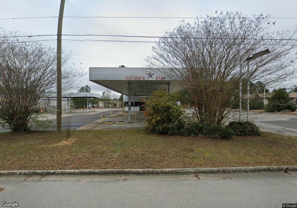
204 E Industry Dr Oxford, NC 27565
--
Bed
--
Bath
1,512
Sq Ft
1.01
Acres
About This Home
This home is located at 204 E Industry Dr, Oxford, NC 27565. 204 E Industry Dr is a home located in Granville County with nearby schools including West Oxford Elementary School, Northern Granville Middle School, and Granville Central High School.
Ownership History
Date
Name
Owned For
Owner Type
Purchase Details
Closed on
Jun 16, 2025
Sold by
V & V Property Group Llc
Bought by
204 E Industry Drive Llc
Purchase Details
Closed on
Oct 3, 2017
Sold by
Jukis Properties Inc
Bought by
V & V Property Group Llc
Purchase Details
Closed on
Aug 25, 2003
Bought by
Jukis Properties Inc
Create a Home Valuation Report for This Property
The Home Valuation Report is an in-depth analysis detailing your home's value as well as a comparison with similar homes in the area
Home Values in the Area
Average Home Value in this Area
Purchase History
| Date | Buyer | Sale Price | Title Company |
|---|---|---|---|
| 204 E Industry Drive Llc | -- | None Listed On Document | |
| 204 E Industry Drive Llc | -- | None Listed On Document | |
| V & V Property Group Llc | $70,000 | None Available | |
| Jukis Properties Inc | $500,000 | -- |
Source: Public Records
Tax History Compared to Growth
Tax History
| Year | Tax Paid | Tax Assessment Tax Assessment Total Assessment is a certain percentage of the fair market value that is determined by local assessors to be the total taxable value of land and additions on the property. | Land | Improvement |
|---|---|---|---|---|
| 2025 | $3,325 | $288,306 | $153,520 | $134,786 |
| 2024 | $3,325 | $288,306 | $153,520 | $134,786 |
| 2023 | $3,325 | $175,848 | $52,843 | $123,005 |
| 2022 | $2,603 | $175,848 | $52,843 | $123,005 |
| 2021 | $2,603 | $175,848 | $52,843 | $123,005 |
| 2020 | $2,603 | $175,848 | $52,843 | $123,005 |
| 2019 | $2,603 | $175,848 | $52,843 | $123,005 |
| 2018 | $2,603 | $175,848 | $52,843 | $123,005 |
| 2016 | $4,037 | $265,591 | $52,843 | $212,748 |
| 2015 | $3,904 | $265,591 | $52,843 | $212,748 |
| 2014 | $3,904 | $265,591 | $52,843 | $212,748 |
| 2013 | -- | $265,591 | $52,843 | $212,748 |
Source: Public Records
Map
Nearby Homes
- 230 Maple Dr Unit 232
- 220 Maple Dr Unit A & B
- 111 Ward Ave
- 104 Seaman St
- 206 1st St
- 105 W Thorndale Dr
- 112 1st St
- 405 Sycamore St
- 421 Granville St
- 43 Church St
- 212 Orange St
- 210 Orange St
- 201 Providence Rd
- 211 Wilmington Ave
- 412 Coggeshall St
- Lot 25 Spring Grove Dr
- Lot 18 Spring Grove Dr
- 0 Spring Grove Dr
- 905 Brookrun Dr
- 906 Brookrun Dr
- 208 E Industry Dr
- 202 E Industry Dr
- 203 E Industry Dr
- 214 Noblin Rd
- 000 W Industry Dr
- 00 W Industry Dr
- 0000 W Industry Dr
- 517 Lewis St
- 615 Lewis St Unit 95
- 615 Lewis St
- 511 Lewis St
- 625 Lewis St
- 503 Lewis St
- HWY 15 Lewis St
- 0 Lewis St
- Hwy.15 Lewis St
- 3 Southgate Dr
- 110 Noblin Rd
- 0000 Nc 15 Hwy
- 8 E Industry Dr