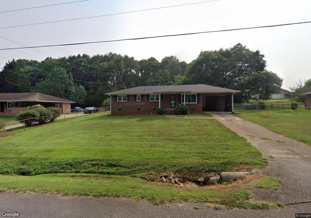
204 Edwards Dr Anderson, SC 29626
Estimated Value: $127,000 - $210,000
3
Beds
2
Baths
1,300
Sq Ft
$142/Sq Ft
Est. Value
About This Home
This home is located at 204 Edwards Dr, Anderson, SC 29626 and is currently estimated at $185,230, approximately $142 per square foot. 204 Edwards Dr is a home located in Anderson County with nearby schools including McLees Elementary School, Robert Anderson Middle School, and Westside High School.
Ownership History
Date
Name
Owned For
Owner Type
Purchase Details
Closed on
Jul 27, 2018
Sold by
Moss Christopher T
Bought by
Moss Cherish M
Current Estimated Value
Home Financials for this Owner
Home Financials are based on the most recent Mortgage that was taken out on this home.
Original Mortgage
$60,000
Outstanding Balance
$51,339
Interest Rate
4.5%
Mortgage Type
Closed End Mortgage
Estimated Equity
$133,891
Purchase Details
Closed on
Sep 19, 2008
Sold by
Fannie Mae
Bought by
Moss Christopher T
Home Financials for this Owner
Home Financials are based on the most recent Mortgage that was taken out on this home.
Original Mortgage
$63,910
Interest Rate
6.49%
Mortgage Type
FHA
Purchase Details
Closed on
Jul 15, 2008
Sold by
Tucker Michael L and Mortgage Electronic Registrati
Bought by
Federal National Mortgage Association
Purchase Details
Closed on
Apr 2, 2004
Sold by
Roberts Russell
Bought by
Tucker Michael L
Create a Home Valuation Report for This Property
The Home Valuation Report is an in-depth analysis detailing your home's value as well as a comparison with similar homes in the area
Home Values in the Area
Average Home Value in this Area
Purchase History
| Date | Buyer | Sale Price | Title Company |
|---|---|---|---|
| Moss Cherish M | $71,000 | None Available | |
| Moss Christopher T | -- | -- | |
| Federal National Mortgage Association | $90,071 | -- | |
| Tucker Michael L | $69,500 | -- |
Source: Public Records
Mortgage History
| Date | Status | Borrower | Loan Amount |
|---|---|---|---|
| Open | Moss Cherish M | $60,000 | |
| Previous Owner | Moss Christopher T | $63,910 |
Source: Public Records
Tax History
| Year | Tax Paid | Tax Assessment Tax Assessment Total Assessment is a certain percentage of the fair market value that is determined by local assessors to be the total taxable value of land and additions on the property. | Land | Improvement |
|---|---|---|---|---|
| 2024 | $556 | $4,280 | $800 | $3,480 |
| 2023 | $556 | $4,280 | $800 | $3,480 |
| 2022 | $526 | $4,280 | $800 | $3,480 |
| 2021 | $474 | $3,510 | $600 | $2,910 |
| 2020 | $468 | $3,510 | $600 | $2,910 |
| 2019 | $468 | $3,510 | $600 | $2,910 |
| 2018 | $412 | $3,010 | $600 | $2,410 |
| 2017 | -- | $3,010 | $600 | $2,410 |
| 2016 | $405 | $2,900 | $480 | $2,420 |
| 2015 | $412 | $2,900 | $480 | $2,420 |
| 2014 | $407 | $2,900 | $480 | $2,420 |
Source: Public Records
Map
Nearby Homes
- 202 Hazelwood Ave
- 417 Greenmeadow Cir
- 318 Fretwell Dr
- 636 Jasmin Dr
- 231 Greenmeadow Cir
- 2925 Dobbins Bridge Rd
- 1718 W Market St
- 219 Beaty Square
- 113 Marsh Creek Dr
- 1602 W Market St
- 108 Meadowbrook Dr
- 2011 W Whitner St
- 0 Cloverdale Dr
- Lot 1 Cloverdale Dr
- 1520 Pearman Dairy Rd
- 0000 Pearman Dairy Rd
- 114 Hillcrest Cir
- 115 Hillcrest Cir
- 222 Hillcrest Cir
- 104 Royal View Dr
- 202 Edwards Dr
- 206 Edwards Dr
- 208 Edwards Dr
- 200 Edwards Dr
- 205 Edwards Dr
- 203 Edwards Dr
- 207 Edwards Dr
- Lot 38 Edwards Dr
- 201 Edwards Dr
- 210 Edwards Dr
- 106 Edwards Dr
- 209 Edwards Dr
- 211 Edwards Dr
- 105 Edwards Dr
- 212 Edwards Dr
- 104 Edwards Dr
- 200 Hazelwood Ave
- 204 Hazelwood Ave
- 213 Edwards Dr
- 103 Edwards Dr
Your Personal Tour Guide
Ask me questions while you tour the home.