204 Fisher Station Rd Durant, OK 74701
Estimated Value: $247,000 - $314,071
3
Beds
2
Baths
1,542
Sq Ft
$175/Sq Ft
Est. Value
About This Home
This home is located at 204 Fisher Station Rd, Durant, OK 74701 and is currently estimated at $270,268, approximately $175 per square foot. 204 Fisher Station Rd is a home located in Bryan County with nearby schools including Northwest Heights Elementary School, Durant Intermediate Elementary School, and Durant Middle School.
Ownership History
Date
Name
Owned For
Owner Type
Purchase Details
Closed on
Nov 5, 2014
Sold by
Miller Thomas R
Bought by
Middleton Cecil Aubrey S
Current Estimated Value
Purchase Details
Closed on
Mar 7, 2005
Sold by
Shipman Donald N and Shipman Don
Bought by
Miller Thomas R
Purchase Details
Closed on
May 2, 2001
Sold by
Summitt Bill Family Trus
Bought by
Shipman Donald and Shipman Vicki
Purchase Details
Closed on
Oct 25, 2000
Sold by
Summitt Bill D Trust
Bought by
Hughes David Shawn
Create a Home Valuation Report for This Property
The Home Valuation Report is an in-depth analysis detailing your home's value as well as a comparison with similar homes in the area
Home Values in the Area
Average Home Value in this Area
Purchase History
| Date | Buyer | Sale Price | Title Company |
|---|---|---|---|
| Middleton Cecil Aubrey S | $162,500 | -- | |
| Miller Thomas R | -- | None Available | |
| Shipman Donald | $25,000 | -- | |
| Hughes David Shawn | $114,000 | -- |
Source: Public Records
Tax History Compared to Growth
Tax History
| Year | Tax Paid | Tax Assessment Tax Assessment Total Assessment is a certain percentage of the fair market value that is determined by local assessors to be the total taxable value of land and additions on the property. | Land | Improvement |
|---|---|---|---|---|
| 2025 | $1,980 | $21,967 | $3,465 | $18,502 |
| 2024 | $1,980 | $21,327 | $3,465 | $17,862 |
| 2023 | $1,980 | $20,706 | $3,465 | $17,241 |
| 2022 | $1,793 | $20,104 | $3,664 | $16,440 |
| 2021 | $1,837 | $20,104 | $3,664 | $16,440 |
| 2020 | $1,835 | $20,104 | $3,664 | $16,440 |
| 2019 | $1,653 | $19,236 | $3,557 | $15,679 |
| 2018 | $1,588 | $18,676 | $2,860 | $15,816 |
| 2017 | $1,228 | $14,757 | $1,760 | $12,997 |
| 2016 | $1,200 | $14,328 | $1,760 | $12,568 |
| 2015 | $1,196 | $14,328 | $1,760 | $12,568 |
| 2014 | $1,110 | $13,386 | $550 | $12,836 |
Source: Public Records
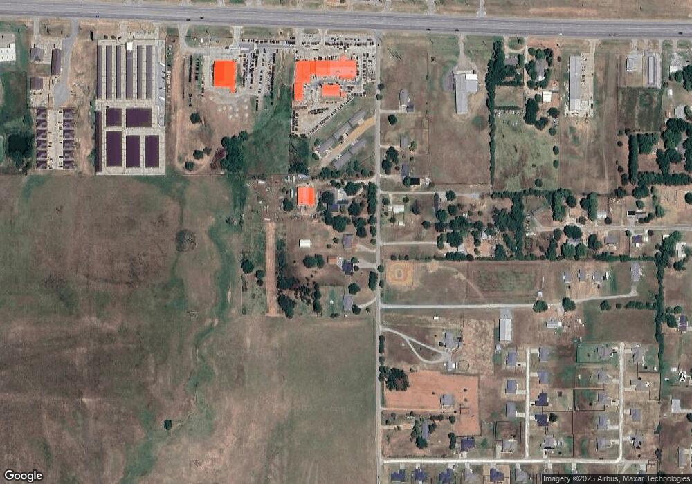
Map
Nearby Homes
- 823 Stoney Bridge Way
- 0 W Highway 70
- 379 Madison St
- 10499 W Highway 70
- 0 Hwy 70 Rd Unit 2523282
- 5810 Benelli Blvd
- 001 Madison Ave
- 849 Beretta Blvd
- 841 Annas Way
- 752 Annas Way
- 6063 Wilson St
- 1407 Colt Dr
- 6065 Wilson St
- 5923 Wilson St
- 5521 Kimberly Rd
- 63 Grace Ln
- 000 University
- 1803 Silo Rd
- 6735 Wilson St
- 5218 Kimberly Rd
- 216 Fisher Station Rd
- 170 Fisher Station Rd
- 240 Fisher Station Rd
- 151 Fisher Station Rd
- 135 Fisher Station Rd
- 107 Fisher Station Rd
- 77 Fisher Station Rd
- 321 Fisher Station Rd
- 9536 W Highway 70
- 359 Fisher Station Rd
- 273 Fisher Station Rd
- 97 Apple Ln
- 253 Fisher Station Rd
- 104 Apple Ln
- 9584 W Highway 70
- 18 Paris Ave
- 90 Apple Ln
- 30 Paris Ave
- 105 Paris Ave
- 105 Grove Way