204 Gorham Ave Mayfield, PA 18433
Estimated Value: $179,000
Studio
--
Bath
1,200
Sq Ft
$149/Sq Ft
Est. Value
About This Home
This home is located at 204 Gorham Ave, Mayfield, PA 18433 and is currently estimated at $179,000, approximately $149 per square foot. 204 Gorham Ave is a home located in Lackawanna County with nearby schools including Lakeland Junior/Senior High School and Edison Early Learning Center.
Ownership History
Date
Name
Owned For
Owner Type
Purchase Details
Closed on
Jun 8, 2023
Sold by
Usher Carolyn
Bought by
Pearce Casey E
Current Estimated Value
Home Financials for this Owner
Home Financials are based on the most recent Mortgage that was taken out on this home.
Original Mortgage
$119,986
Outstanding Balance
$114,195
Interest Rate
6.43%
Mortgage Type
FHA
Estimated Equity
$64,806
Purchase Details
Closed on
Jul 5, 2005
Sold by
Usher John K and Usher Carolyn
Bought by
Usher John K and Usher Carolyn
Create a Home Valuation Report for This Property
The Home Valuation Report is an in-depth analysis detailing your home's value as well as a comparison with similar homes in the area
Home Values in the Area
Average Home Value in this Area
Purchase History
| Date | Buyer | Sale Price | Title Company |
|---|---|---|---|
| Pearce Casey E | $122,200 | None Listed On Document | |
| Usher John K | -- | None Available |
Source: Public Records
Mortgage History
| Date | Status | Borrower | Loan Amount |
|---|---|---|---|
| Open | Pearce Casey E | $119,986 |
Source: Public Records
Tax History
| Year | Tax Paid | Tax Assessment Tax Assessment Total Assessment is a certain percentage of the fair market value that is determined by local assessors to be the total taxable value of land and additions on the property. | Land | Improvement |
|---|---|---|---|---|
| 2026 | $6,516 | $42,350 | $42,350 | $0 |
| 2025 | $401 | $1,500 | $1,500 | $0 |
| 2024 | $335 | $1,500 | $1,500 | $0 |
| 2023 | $335 | $1,500 | $1,500 | $0 |
| 2022 | $324 | $1,500 | $1,500 | $0 |
| 2021 | $324 | $1,500 | $1,500 | $0 |
| 2020 | $321 | $1,500 | $1,500 | $0 |
| 2019 | $303 | $1,500 | $1,500 | $0 |
| 2018 | $300 | $1,500 | $1,500 | $0 |
| 2017 | $297 | $1,500 | $1,500 | $0 |
| 2016 | $169 | $1,500 | $1,500 | $0 |
| 2015 | -- | $1,500 | $1,500 | $0 |
| 2014 | -- | $1,500 | $1,500 | $0 |
Source: Public Records
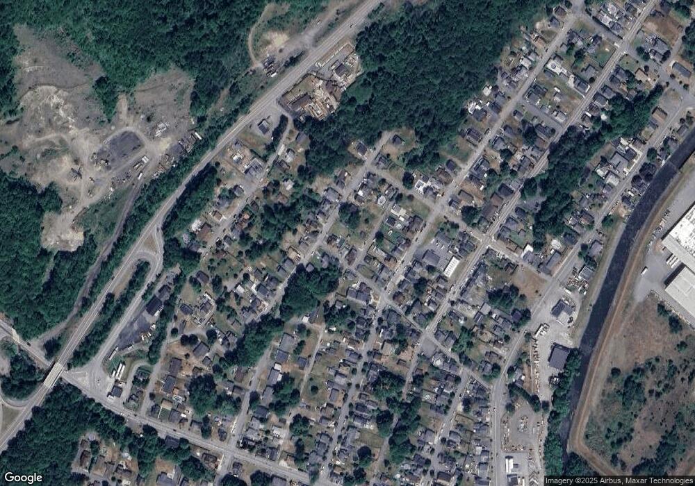
Map
Nearby Homes
- 210 Gorham Ave
- 205 Depew Ave
- 302 Depew Ave
- 320 Depew Ave
- 414 Rushbrook St
- 0 Pennsylvania 107
- 213 Raymond Dr
- 0 Pine St & Laurel Dr Unit GSBSC261484
- 727 Lackawanna Ave
- 440 Washington Ave
- 432 Madison Ave
- 0 Chestnut St
- 708 Delaware St
- 925 Lackawanna Ave
- 21 Maple St
- 439 Hudson St
- 3 Old Mill Rd
- 119 Osprey Ln
- 717 N Main St
- 315 Foxtail Cir
- 200 Gorham Ave
- 206 Gorham Ave
- 205 Division St
- 207 Division St
- 774 Lincoln Ave
- 207 Gorham Ave
- 203 Gorham Ave
- 211 Gorham Ave
- 214 Gorham Ave
- 213 Gorham Ave
- 153 Gorham Ave
- 216 Gorham Ave
- 217 Gorham Ave Unit L60
- 211 Whitmore Ave
- 215 Whitmore Ave
- 217 Whitmore Ave
- 203 Whitmore Ave
- 151 Gorham Ave
- 219 Gorham L 59 Ave
- 220 Gorham Ave
Your Personal Tour Guide
Ask me questions while you tour the home.