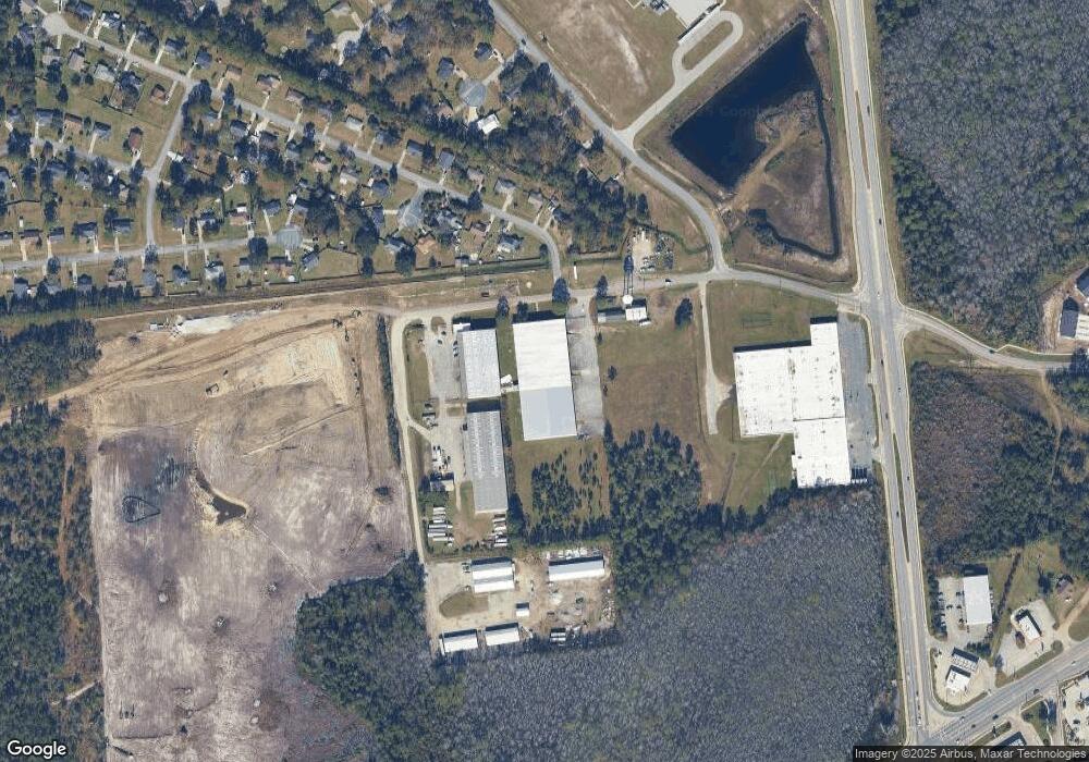
204 Hardman Rd Hinesville, GA 31313
Estimated Value: $1,325,280
--
Bed
--
Bath
57,120
Sq Ft
$23/Sq Ft
Est. Value
About This Home
This home is located at 204 Hardman Rd, Hinesville, GA 31313 and is currently estimated at $1,325,280, approximately $23 per square foot. 204 Hardman Rd is a home located in Liberty County with nearby schools including Taylors Creek Elementary School, Lewis Frasier Middle School, and Bradwell Institute.
Ownership History
Date
Name
Owned For
Owner Type
Purchase Details
Closed on
Nov 30, 2020
Sold by
Dorco Usa
Bought by
Liberty Tape Partners Llc
Current Estimated Value
Home Financials for this Owner
Home Financials are based on the most recent Mortgage that was taken out on this home.
Original Mortgage
$636,000
Outstanding Balance
$443,927
Interest Rate
2.8%
Mortgage Type
Commercial
Estimated Equity
$881,353
Purchase Details
Closed on
Nov 2, 2012
Sold by
Shave Pace
Bought by
Ternational Grp Llc
Create a Home Valuation Report for This Property
The Home Valuation Report is an in-depth analysis detailing your home's value as well as a comparison with similar homes in the area
Home Values in the Area
Average Home Value in this Area
Purchase History
| Date | Buyer | Sale Price | Title Company |
|---|---|---|---|
| Liberty Tape Partners Llc | $762,500 | -- | |
| Ternational Grp Llc | $1,600,000 | -- | |
| Pace Shave | -- | -- | |
| Canoochee Creek Inc | -- | -- |
Source: Public Records
Mortgage History
| Date | Status | Borrower | Loan Amount |
|---|---|---|---|
| Open | Liberty Tape Partners Llc | $636,000 |
Source: Public Records
Tax History Compared to Growth
Tax History
| Year | Tax Paid | Tax Assessment Tax Assessment Total Assessment is a certain percentage of the fair market value that is determined by local assessors to be the total taxable value of land and additions on the property. | Land | Improvement |
|---|---|---|---|---|
| 2024 | $9,224 | $223,933 | $49,700 | $174,233 |
| 2023 | $9,224 | $226,078 | $49,700 | $176,378 |
| 2022 | $7,491 | $194,606 | $49,700 | $144,906 |
| 2021 | $8,269 | $215,641 | $49,700 | $165,941 |
| 2020 | $8,821 | $229,114 | $49,700 | $179,414 |
| 2019 | $9,195 | $245,200 | $49,700 | $195,500 |
| 2018 | $9,827 | $265,272 | $49,700 | $215,572 |
| 2017 | $11,798 | $278,058 | $49,700 | $228,358 |
| 2016 | $10,139 | $294,144 | $49,700 | $244,444 |
| 2015 | $10,866 | $294,144 | $49,700 | $244,444 |
| 2014 | $10,866 | $311,880 | $49,700 | $262,180 |
| 2013 | -- | $323,703 | $49,700 | $274,003 |
Source: Public Records
Map
Nearby Homes