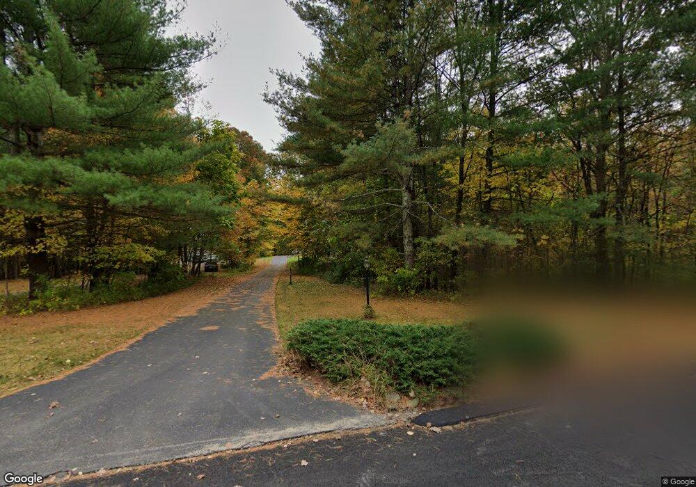
204 Joseph Rd Boxborough, MA 01719
Estimated Value: $1,050,000 - $1,192,000
4
Beds
3
Baths
2,767
Sq Ft
$405/Sq Ft
Est. Value
About This Home
This home is located at 204 Joseph Rd, Boxborough, MA 01719 and is currently estimated at $1,119,483, approximately $404 per square foot. 204 Joseph Rd is a home located in Middlesex County with nearby schools including Acton-Boxborough Regional High School.
Ownership History
Date
Name
Owned For
Owner Type
Purchase Details
Closed on
Nov 30, 1995
Sold by
Northwest Structures
Bought by
Payne Roderick A and Payne Virginia Y
Current Estimated Value
Home Financials for this Owner
Home Financials are based on the most recent Mortgage that was taken out on this home.
Original Mortgage
$203,000
Outstanding Balance
$4,153
Interest Rate
7.37%
Mortgage Type
Purchase Money Mortgage
Estimated Equity
$1,115,330
Create a Home Valuation Report for This Property
The Home Valuation Report is an in-depth analysis detailing your home's value as well as a comparison with similar homes in the area
Home Values in the Area
Average Home Value in this Area
Purchase History
| Date | Buyer | Sale Price | Title Company |
|---|---|---|---|
| Payne Roderick A | $390,160 | -- |
Source: Public Records
Mortgage History
| Date | Status | Borrower | Loan Amount |
|---|---|---|---|
| Open | Payne Roderick A | $203,000 | |
| Closed | Payne Roderick A | $32,000 |
Source: Public Records
Tax History Compared to Growth
Tax History
| Year | Tax Paid | Tax Assessment Tax Assessment Total Assessment is a certain percentage of the fair market value that is determined by local assessors to be the total taxable value of land and additions on the property. | Land | Improvement |
|---|---|---|---|---|
| 2025 | $15,092 | $996,800 | $310,300 | $686,500 |
| 2024 | $13,951 | $930,700 | $298,300 | $632,400 |
| 2023 | $13,338 | $859,400 | $268,700 | $590,700 |
| 2022 | $12,847 | $737,500 | $268,700 | $468,800 |
| 2020 | $11,610 | $694,400 | $268,700 | $425,700 |
| 2019 | $11,402 | $694,400 | $268,700 | $425,700 |
| 2018 | $8,281 | $656,600 | $256,100 | $400,500 |
| 2017 | $10,794 | $642,100 | $256,200 | $385,900 |
| 2016 | $10,250 | $626,500 | $256,200 | $370,300 |
| 2015 | $10,849 | $651,600 | $255,700 | $395,900 |
| 2014 | $10,911 | $616,800 | $253,200 | $363,600 |
Source: Public Records
Map
Nearby Homes
- 777 Depot Rd
- 134 Russet Ln
- 70 Loring Ave
- 68 Macintosh Ln
- 118 Colonial Ridge Dr
- 351 Burroughs Rd
- 62 Waite Rd
- 20 Lyons Ln Unit 13
- 170 Picnic St
- 417 Central St
- 4 Half Moon Hill
- 30 Paul Revere Rd
- 5 Elm St Unit 2
- 31 Mohawk Dr
- 6 Black Horse Dr
- 349 Arlington St
- 54 Mohawk Dr
- 342 Arlington St
- 1155 Burroughs Rd
- 3 Squirrel Hill Rd