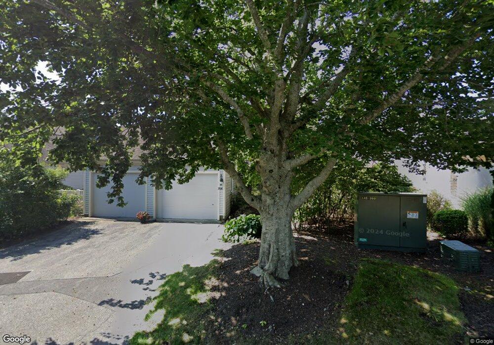
204 Kates Path Yarmouth Port, MA 02675
Yarmouth Port NeighborhoodEstimated Value: $613,000 - $623,000
2
Beds
4
Baths
1,292
Sq Ft
$479/Sq Ft
Est. Value
About This Home
This home is located at 204 Kates Path, Yarmouth Port, MA 02675 and is currently estimated at $619,163, approximately $479 per square foot. 204 Kates Path is a home located in Barnstable County with nearby schools including Dennis-Yarmouth Regional High School.
Ownership History
Date
Name
Owned For
Owner Type
Purchase Details
Closed on
Oct 13, 2015
Sold by
Hagberg Clifford L and Hagberg Margaret W
Bought by
Hagberg Margaret W
Current Estimated Value
Purchase Details
Closed on
May 17, 2013
Sold by
Frances H Rogovin Ret
Bought by
Hagberg Clifford L
Home Financials for this Owner
Home Financials are based on the most recent Mortgage that was taken out on this home.
Original Mortgage
$256,000
Interest Rate
3%
Mortgage Type
Adjustable Rate Mortgage/ARM
Purchase Details
Closed on
Sep 17, 1991
Sold by
The Green Co Inc
Bought by
Rogovin Frances H
Create a Home Valuation Report for This Property
The Home Valuation Report is an in-depth analysis detailing your home's value as well as a comparison with similar homes in the area
Home Values in the Area
Average Home Value in this Area
Purchase History
| Date | Buyer | Sale Price | Title Company |
|---|---|---|---|
| Hagberg Margaret W | -- | -- | |
| Hagberg Clifford L | $320,000 | -- | |
| Rogovin Frances H | $170,000 | -- |
Source: Public Records
Mortgage History
| Date | Status | Borrower | Loan Amount |
|---|---|---|---|
| Previous Owner | Hagberg Clifford L | $256,000 |
Source: Public Records
Tax History Compared to Growth
Tax History
| Year | Tax Paid | Tax Assessment Tax Assessment Total Assessment is a certain percentage of the fair market value that is determined by local assessors to be the total taxable value of land and additions on the property. | Land | Improvement |
|---|---|---|---|---|
| 2025 | $3,686 | $520,600 | $0 | $520,600 |
| 2024 | $3,703 | $501,800 | $0 | $501,800 |
| 2023 | $3,336 | $411,400 | $0 | $411,400 |
| 2022 | $3,810 | $415,000 | $0 | $415,000 |
| 2021 | $3,707 | $387,800 | $0 | $387,800 |
| 2020 | $3,742 | $374,200 | $0 | $374,200 |
| 2019 | $3,510 | $347,500 | $0 | $347,500 |
| 2018 | $3,301 | $320,800 | $0 | $320,800 |
| 2017 | $3,081 | $307,500 | $0 | $307,500 |
| 2016 | $2,935 | $294,100 | $0 | $294,100 |
| 2015 | $3,102 | $309,000 | $0 | $309,000 |
Source: Public Records
Map
Nearby Homes
- 158 Kates Path
- 228 Kates Path
- 17 Kates Path Unit A
- 19 John Hall Cartway Unit E
- 19 John Halls Cartpath Village Unit E
- 30 W Woods
- 30 W Woods Cir Unit 30
- 50 John Hall Cartway
- 50 John Hall Cartway Unit 50
- 64 Kates Path
- 42 John Hall Cartway Unit 42
- 28 Oak Glen
- 25 Oak Glen Village Unit 25
- 25 Oak Glen
- 2 Pine Grove
- 43 Canterbury Rd
- 17 Nottingham Dr
- 44 Stratford Ln
- 21 Boxwood Cir
- 800 Route 6a
- 210 Kates Path
- 208 Kates Path
- 206 Kates Path
- 208 Kate's Path Unit 208
- 210 Kates Path Unit 210
- 206 Kates Path Unit A
- 204 Kates Path Unit E
- 208 Kates Path Unit C
- 210 Kates Path Unit H
- 198 Kate's Unit 198
- 202 Kates Path
- 198 Kates Path
- 200 Kates Path Unit A
- 198 Kates Path Unit H
- 226 Kate's Path
- 226 Kate's Path Unit 226
- 228 Kate's Path
- 232 Kate's Path Unit 232
- 234 Kate's Path Unit 234
- 138 Kate's Path Unit 138