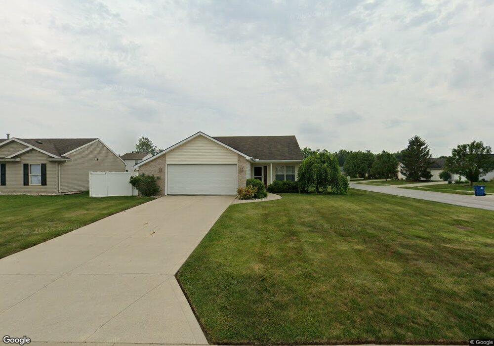
204 Kittridge Ln Fort Wayne, IN 46845
Estimated Value: $250,000 - $255,408
3
Beds
2
Baths
1,345
Sq Ft
$188/Sq Ft
Est. Value
About This Home
This home is located at 204 Kittridge Ln, Fort Wayne, IN 46845 and is currently estimated at $252,602, approximately $187 per square foot. 204 Kittridge Ln is a home located in Allen County with nearby schools including Oak View Elementary School, Maple Creek Middle School, and Carroll High School.
Ownership History
Date
Name
Owned For
Owner Type
Purchase Details
Closed on
Oct 5, 2011
Sold by
Slusser Steven M
Bought by
Slusser Steven M and Slusser Rebecca L
Current Estimated Value
Home Financials for this Owner
Home Financials are based on the most recent Mortgage that was taken out on this home.
Original Mortgage
$89,750
Outstanding Balance
$8,548
Interest Rate
4.22%
Mortgage Type
New Conventional
Estimated Equity
$244,054
Purchase Details
Closed on
Oct 24, 2003
Sold by
Wayne Johnson Homes Inc
Bought by
Slusser Steven M
Home Financials for this Owner
Home Financials are based on the most recent Mortgage that was taken out on this home.
Original Mortgage
$107,815
Interest Rate
6.04%
Mortgage Type
Purchase Money Mortgage
Purchase Details
Closed on
Nov 7, 2001
Sold by
Thurman Investments Inc
Bought by
Wayne Johnson Homes Inc
Create a Home Valuation Report for This Property
The Home Valuation Report is an in-depth analysis detailing your home's value as well as a comparison with similar homes in the area
Home Values in the Area
Average Home Value in this Area
Purchase History
| Date | Buyer | Sale Price | Title Company |
|---|---|---|---|
| Slusser Steven M | -- | Dreibelbiss Title Company | |
| Slusser Steven M | -- | Commonwealth/Dreibelbiss Tit | |
| Wayne Johnson Homes Inc | -- | Three Rivers Title Company I | |
| Wayne Johnson Homes Inc | -- | Three Rivers Title Company I |
Source: Public Records
Mortgage History
| Date | Status | Borrower | Loan Amount |
|---|---|---|---|
| Open | Slusser Steven M | $89,750 | |
| Closed | Slusser Steven M | $107,815 |
Source: Public Records
Tax History Compared to Growth
Tax History
| Year | Tax Paid | Tax Assessment Tax Assessment Total Assessment is a certain percentage of the fair market value that is determined by local assessors to be the total taxable value of land and additions on the property. | Land | Improvement |
|---|---|---|---|---|
| 2024 | $1,516 | $233,600 | $18,500 | $215,100 |
| 2022 | $1,276 | $190,800 | $18,500 | $172,300 |
| 2021 | $1,132 | $166,200 | $18,500 | $147,700 |
| 2020 | $1,115 | $159,300 | $18,500 | $140,800 |
| 2019 | $1,057 | $151,100 | $18,500 | $132,600 |
| 2018 | $939 | $138,100 | $18,500 | $119,600 |
| 2017 | $862 | $126,200 | $18,500 | $107,700 |
| 2016 | $855 | $123,300 | $18,500 | $104,800 |
| 2014 | $833 | $115,300 | $18,500 | $96,800 |
| 2013 | $825 | $110,500 | $18,500 | $92,000 |
Source: Public Records
Map
Nearby Homes
- 275 Forecast Cove
- 417 Rampart Dr
- 12531 Stoneboro Ct
- 12610 Tocchi Cove
- 11967 Falcatta Dr
- 11935 Falcatta Dr
- 210 Dittons Way
- 516 Grantham Passage
- 606 Grantham Passage
- 619 Grantham Passage
- 11688 Talis Park Way
- 604 Merriweather Passage
- 12008 Coldwater Rd
- 11620 Tillbury Cove
- 813 Seamist Point
- 708 Perolla Dr
- 394 Carrara Cove
- 851 Pentolina Dr
- 928 Willowind Trail
- 12060 Painted Peak Cove
- 210 Kittridge Ln
- 209 Rampart Dr
- 216 Kittridge Ln
- 215 Rampart Dr
- 12506 Falcatta Dr
- 130 Kittridge Ln
- 12427 Falcatta Dr
- 221 Rampart Dr
- 12415 Falcatta Dr
- 222 Kittridge Ln
- 133 Kittridge Ln
- 227 Rampart Dr
- 223 Kittridge Ln
- 12512 Falcatta Dr
- 12403 Falcatta Dr
- 125 Kittridge Ln
- 228 Kittridge Ln
- 233 Rampart Dr
- 12436 Stoneboro Ct
- 12430 Stoneboro Ct