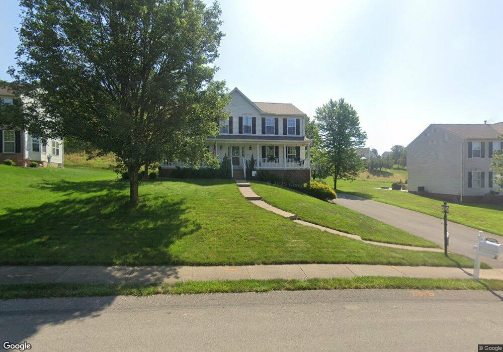
204 Lori Rd Gibsonia, PA 15044
Estimated Value: $535,021 - $606,000
4
Beds
3
Baths
2,344
Sq Ft
$241/Sq Ft
Est. Value
About This Home
This home is located at 204 Lori Rd, Gibsonia, PA 15044 and is currently estimated at $565,005, approximately $241 per square foot. 204 Lori Rd is a home located in Allegheny County with nearby schools including Hance Elementary School, Eden Hall Upper Elementary, and Pine-Richland Middle School.
Ownership History
Date
Name
Owned For
Owner Type
Purchase Details
Closed on
Mar 13, 2020
Sold by
Toogood Jay D and Toogood Tammie L
Bought by
Cherry Jonathan and Cherry Natalie
Current Estimated Value
Home Financials for this Owner
Home Financials are based on the most recent Mortgage that was taken out on this home.
Original Mortgage
$310,500
Outstanding Balance
$274,992
Interest Rate
3.5%
Mortgage Type
New Conventional
Estimated Equity
$290,013
Purchase Details
Closed on
Apr 30, 2010
Sold by
Bissell James M
Bought by
Toogood Jay D
Home Financials for this Owner
Home Financials are based on the most recent Mortgage that was taken out on this home.
Original Mortgage
$300,947
Interest Rate
5.25%
Mortgage Type
FHA
Create a Home Valuation Report for This Property
The Home Valuation Report is an in-depth analysis detailing your home's value as well as a comparison with similar homes in the area
Home Values in the Area
Average Home Value in this Area
Purchase History
| Date | Buyer | Sale Price | Title Company |
|---|---|---|---|
| Cherry Jonathan | $345,000 | Penn Suburban Abstract Llc | |
| Toogood Jay D | $305,000 | -- |
Source: Public Records
Mortgage History
| Date | Status | Borrower | Loan Amount |
|---|---|---|---|
| Open | Cherry Jonathan | $310,500 | |
| Previous Owner | Toogood Jay D | $300,947 |
Source: Public Records
Tax History
| Year | Tax Paid | Tax Assessment Tax Assessment Total Assessment is a certain percentage of the fair market value that is determined by local assessors to be the total taxable value of land and additions on the property. | Land | Improvement |
|---|---|---|---|---|
| 2025 | $6,722 | $248,900 | $56,200 | $192,700 |
| 2024 | $6,722 | $248,900 | $56,200 | $192,700 |
| 2023 | $6,722 | $248,900 | $56,200 | $192,700 |
| 2022 | $6,722 | $248,900 | $56,200 | $192,700 |
| 2021 | $1,262 | $248,900 | $56,200 | $192,700 |
| 2020 | $6,600 | $266,900 | $56,200 | $210,700 |
| 2019 | $6,600 | $248,900 | $56,200 | $192,700 |
| 2017 | $6,506 | $248,900 | $56,200 | $192,700 |
Source: Public Records
Map
Nearby Homes
- 216 Lori Rd
- 4314 Grandview Dr
- 319 Banbury Crossing
- 368 Saddlebrook Rd
- 336 Saddlebrook Rd
- 5003 Foxwood Ct
- 1069 Woodhill Dr
- 531 Yorktown Dr
- 5404 Peach Dr
- 6076 William Flinn Hwy
- 222 Carters Grove Dr
- 1337 Woodhill Dr
- 3933 Hardt Dr
- 3529 W Stag Dr
- 6 Field Brook Ct
- 3130 E Hardies Rd
- 181 Partridge Run Rd
- 106 Squirrel Hollow Rd
- 206 Rose Cir
- 3095 Raintree Dr
Your Personal Tour Guide
Ask me questions while you tour the home.