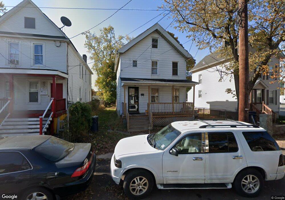
204 Manson Place Unit 6 Plainfield, NJ 07063
Estimated Value: $323,358 - $380,000
--
Bed
--
Bath
1,096
Sq Ft
$321/Sq Ft
Est. Value
About This Home
This home is located at 204 Manson Place Unit 6, Plainfield, NJ 07063 and is currently estimated at $352,340, approximately $321 per square foot. 204 Manson Place Unit 6 is a home located in Union County with nearby schools including Jefferson Elementary School, Hubbard Middle School, and Plainfield High School.
Ownership History
Date
Name
Owned For
Owner Type
Purchase Details
Closed on
Aug 10, 2005
Sold by
Terry Yvonne Brooks
Bought by
Clinton Chris B and Harris Andrea
Current Estimated Value
Home Financials for this Owner
Home Financials are based on the most recent Mortgage that was taken out on this home.
Original Mortgage
$191,000
Outstanding Balance
$101,300
Interest Rate
5.81%
Estimated Equity
$251,040
Create a Home Valuation Report for This Property
The Home Valuation Report is an in-depth analysis detailing your home's value as well as a comparison with similar homes in the area
Home Values in the Area
Average Home Value in this Area
Purchase History
| Date | Buyer | Sale Price | Title Company |
|---|---|---|---|
| Clinton Chris B | $191,000 | -- |
Source: Public Records
Mortgage History
| Date | Status | Borrower | Loan Amount |
|---|---|---|---|
| Open | Clinton Chris B | $191,000 |
Source: Public Records
Tax History Compared to Growth
Tax History
| Year | Tax Paid | Tax Assessment Tax Assessment Total Assessment is a certain percentage of the fair market value that is determined by local assessors to be the total taxable value of land and additions on the property. | Land | Improvement |
|---|---|---|---|---|
| 2025 | $5,920 | $67,800 | $27,400 | $40,400 |
| 2024 | $5,862 | $67,800 | $27,400 | $40,400 |
| 2023 | $5,862 | $67,800 | $27,400 | $40,400 |
| 2022 | $5,735 | $67,800 | $27,400 | $40,400 |
| 2021 | $5,685 | $67,800 | $27,400 | $40,400 |
| 2020 | $5,669 | $67,800 | $27,400 | $40,400 |
| 2019 | $5,669 | $67,800 | $27,400 | $40,400 |
| 2018 | $5,550 | $67,800 | $27,400 | $40,400 |
| 2017 | $5,415 | $67,800 | $27,400 | $40,400 |
| 2016 | $5,304 | $67,800 | $27,400 | $40,400 |
| 2015 | $5,147 | $67,800 | $27,400 | $40,400 |
| 2014 | -- | $67,800 | $27,400 | $40,400 |
Source: Public Records
Map
Nearby Homes
- 318-20 Manson Place
- 312 Monroe Ave Unit 14
- 223 Monroe Ave
- 333 Mcdowell St Unit 35
- 667 S 2nd St
- 338 Manson Place Unit 40
- 318 Halsey St Unit 20
- 1637 S 2nd St
- 954 W 4th St
- 951 W Front St
- 355 Bergen St
- 1222 W 3rd St Unit 24
- 20-22 Albert St
- 325-29 Stebbins Place Unit 4
- 950 W 6th St Unit 52
- 829 S 2nd St
- 40 Emma St Unit 42
- 1227 W 6th St
- 809-11 W 4th St
- 301 Grant Ave Unit 3
- 200-2 Manson Place
- 200 Manson Place Unit 2
- 208 Manson Place Unit 10
- 212 Manson Place Unit 14
- 667-69 S 2nd St
- 453 S 2nd St
- 205-7 Manson Place
- 205 Manson Place Unit 7
- 201 Manson Place Unit 3
- 216 Manson Place Unit 18
- 209 Manson Place Unit 11
- 1033 S 2nd St Unit 39
- 220-22 Manson Place
- 220 Manson Place Unit 22
- 213 Manson Place Unit 15
- 217 Manson Place Unit 19
- 213 Morris St Unit 15
- 224-26 Manson Place
- 217 Morris St Unit 19
- 224 Manson Place Unit 26