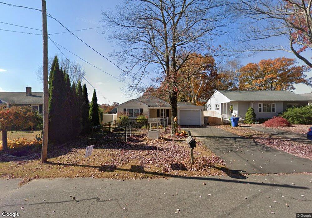
204 Martin Rd Bristol, CT 06010
North Bristol NeighborhoodEstimated Value: $290,204 - $316,000
3
Beds
1
Bath
1,168
Sq Ft
$259/Sq Ft
Est. Value
About This Home
This home is located at 204 Martin Rd, Bristol, CT 06010 and is currently estimated at $303,051, approximately $259 per square foot. 204 Martin Rd is a home located in Hartford County with nearby schools including West Bristol Sch, Bristol Central High School, and Immanuel Lutheran School.
Ownership History
Date
Name
Owned For
Owner Type
Purchase Details
Closed on
Oct 1, 1992
Sold by
Donofrio Nancy E
Bought by
Chute Edward J and Kielb Jacqueline
Current Estimated Value
Home Financials for this Owner
Home Financials are based on the most recent Mortgage that was taken out on this home.
Original Mortgage
$101,700
Interest Rate
6.7%
Mortgage Type
Unknown
Create a Home Valuation Report for This Property
The Home Valuation Report is an in-depth analysis detailing your home's value as well as a comparison with similar homes in the area
Home Values in the Area
Average Home Value in this Area
Purchase History
| Date | Buyer | Sale Price | Title Company |
|---|---|---|---|
| Chute Edward J | $105,000 | -- | |
| Chute Edward J | $105,000 | -- |
Source: Public Records
Mortgage History
| Date | Status | Borrower | Loan Amount |
|---|---|---|---|
| Open | Chute Edward J | $96,000 | |
| Closed | Chute Edward J | $88,781 | |
| Closed | Chute Edward J | $101,700 |
Source: Public Records
Tax History Compared to Growth
Tax History
| Year | Tax Paid | Tax Assessment Tax Assessment Total Assessment is a certain percentage of the fair market value that is determined by local assessors to be the total taxable value of land and additions on the property. | Land | Improvement |
|---|---|---|---|---|
| 2025 | $4,555 | $134,960 | $26,320 | $108,640 |
| 2024 | $4,298 | $134,960 | $26,320 | $108,640 |
| 2023 | $4,096 | $134,960 | $26,320 | $108,640 |
| 2022 | $3,654 | $95,270 | $21,350 | $73,920 |
| 2021 | $3,654 | $95,270 | $21,350 | $73,920 |
| 2020 | $3,654 | $95,270 | $21,350 | $73,920 |
| 2019 | $3,625 | $95,270 | $21,350 | $73,920 |
| 2018 | $3,514 | $95,270 | $21,350 | $73,920 |
| 2017 | $3,508 | $97,370 | $32,200 | $65,170 |
| 2016 | $3,508 | $97,370 | $32,200 | $65,170 |
| 2015 | $3,370 | $97,370 | $32,200 | $65,170 |
| 2014 | $3,370 | $97,370 | $32,200 | $65,170 |
Source: Public Records
Map
Nearby Homes
- 62 Gino Dr
- 65 Gino Dr
- 63 Gino Dr
- 26 Martin Rd
- 20 Isamay Dr
- 20 Hill St
- 191 Norwalk Ave
- 91 Tower Rd
- 176 Rockwell Ave
- 384 Park St
- 212 Rockwell Ave
- 441 Clark Ave Unit 2
- 321 Matthews St
- 7 Gillette Way
- 306 Divinity St
- 611 Terryville Rd
- 600 Clark Ave Unit 14
- 600 Clark Ave Unit 29
- 257 Terryville Ave
- 215 Park St