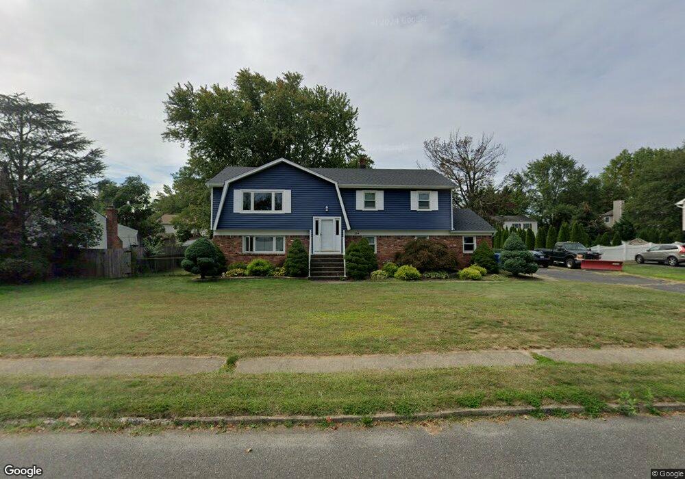
204 Maxum Ct Middletown, NJ 07748
New Monmouth NeighborhoodEstimated Value: $719,685 - $810,000
4
Beds
3
Baths
2,208
Sq Ft
$346/Sq Ft
Est. Value
About This Home
This home is located at 204 Maxum Ct, Middletown, NJ 07748 and is currently estimated at $763,671, approximately $345 per square foot. 204 Maxum Ct is a home located in Monmouth County with nearby schools including Harmony Elementary School, Thorne Middle School, and Middletown High School North.
Create a Home Valuation Report for This Property
The Home Valuation Report is an in-depth analysis detailing your home's value as well as a comparison with similar homes in the area
Home Values in the Area
Average Home Value in this Area
Tax History Compared to Growth
Tax History
| Year | Tax Paid | Tax Assessment Tax Assessment Total Assessment is a certain percentage of the fair market value that is determined by local assessors to be the total taxable value of land and additions on the property. | Land | Improvement |
|---|---|---|---|---|
| 2025 | $8,478 | $663,700 | $404,100 | $259,600 |
| 2024 | $8,751 | $515,400 | $260,500 | $254,900 |
| 2023 | $8,751 | $503,500 | $250,500 | $253,000 |
| 2022 | $8,290 | $475,000 | $226,500 | $248,500 |
| 2021 | $8,290 | $432,300 | $200,700 | $231,600 |
| 2020 | $8,402 | $393,000 | $166,600 | $226,400 |
| 2019 | $8,038 | $380,600 | $166,600 | $214,000 |
| 2018 | $9,294 | $428,900 | $202,100 | $226,800 |
| 2017 | $10,008 | $457,200 | $234,200 | $223,000 |
| 2016 | $8,445 | $396,300 | $195,500 | $200,800 |
| 2015 | $8,713 | $394,800 | $195,500 | $199,300 |
| 2014 | $8,889 | $392,800 | $195,500 | $197,300 |
Source: Public Records
Map
Nearby Homes
- 117 Harmony Ave
- 52 Warren Place
- 9 Avenue A
- 66 Sunset Place
- 8a Avenue A
- 8a Avenue A Unit 108
- 14 Avenue A Unit 102
- 18 Avenue A Unit 98
- 18 Avenue A
- 5 Avenue B
- 5 Avenue B Unit 74
- 9 Avenue C Unit 61
- 17 Avenue D
- 31 N Clark St
- 22 Avenue D Unit 45
- 3 John St Unit 118
- 4 Mary Ann Ct
- 7 John St
- 116 Hudson Ave
- 1 Salisbury Ave