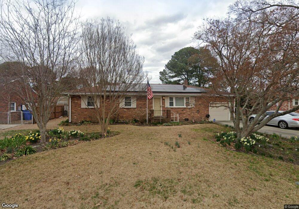
204 Mccosh Dr Chesapeake, VA 23320
South Norfolk NeighborhoodEstimated Value: $310,000 - $379,000
3
Beds
2
Baths
1,269
Sq Ft
$269/Sq Ft
Est. Value
About This Home
This home is located at 204 Mccosh Dr, Chesapeake, VA 23320 and is currently estimated at $340,995, approximately $268 per square foot. 204 Mccosh Dr is a home located in Chesapeake City with nearby schools including B.M. Williams Primary School, Crestwood Intermediate School, and Crestwood Middle School.
Ownership History
Date
Name
Owned For
Owner Type
Purchase Details
Closed on
Aug 29, 2024
Sold by
Madden William H and Madden Joyce L
Bought by
Nunn Ronald Leslie
Current Estimated Value
Home Financials for this Owner
Home Financials are based on the most recent Mortgage that was taken out on this home.
Original Mortgage
$378,078
Outstanding Balance
$374,072
Interest Rate
6.78%
Mortgage Type
VA
Estimated Equity
-$33,077
Create a Home Valuation Report for This Property
The Home Valuation Report is an in-depth analysis detailing your home's value as well as a comparison with similar homes in the area
Home Values in the Area
Average Home Value in this Area
Purchase History
| Date | Buyer | Sale Price | Title Company |
|---|---|---|---|
| Nunn Ronald Leslie | $366,000 | Regis Title |
Source: Public Records
Mortgage History
| Date | Status | Borrower | Loan Amount |
|---|---|---|---|
| Open | Nunn Ronald Leslie | $378,078 |
Source: Public Records
Tax History Compared to Growth
Tax History
| Year | Tax Paid | Tax Assessment Tax Assessment Total Assessment is a certain percentage of the fair market value that is determined by local assessors to be the total taxable value of land and additions on the property. | Land | Improvement |
|---|---|---|---|---|
| 2025 | $2,838 | $338,600 | $120,000 | $218,600 |
| 2024 | $2,838 | $281,000 | $105,000 | $176,000 |
| 2023 | $2,602 | $257,600 | $95,000 | $162,600 |
| 2022 | $2,325 | $230,200 | $85,000 | $145,200 |
| 2021 | $2,155 | $205,200 | $75,000 | $130,200 |
| 2020 | $2,146 | $204,400 | $75,000 | $129,400 |
| 2019 | $2,094 | $199,400 | $75,000 | $124,400 |
| 2018 | $2,035 | $190,200 | $70,000 | $120,200 |
| 2017 | $1,997 | $190,200 | $70,000 | $120,200 |
| 2016 | $1,997 | $190,200 | $70,000 | $120,200 |
| 2015 | $1,950 | $185,700 | $70,000 | $115,700 |
| 2014 | $1,950 | $185,700 | $70,000 | $115,700 |
Source: Public Records
Map
Nearby Homes
- 806 Wadena Rd
- 1509 Waitsel Dr Unit 204
- 1509 Waitsel Dr Unit 102
- 1509 Waitsel Dr Unit 303
- 223 Lindsey Ave
- 1225 Keats Station
- 1413 Cole Dr
- 2031 Midway Ave
- 412 Prince Phillip Ct
- 4159 Williamson St
- 1212 Saul Dr
- 1033 Robert Welch Ln
- 404 Kings Bishop Ct
- 4121 Everett St
- 1236 Basswood Ct
- 1616 Eugenia Ave
- 2105 Portlock Rd
- 4130 3rd St
- 4136 2nd St
- 1819 Warfield St
- 206 Mccosh Dr
- 202 Mccosh Dr
- 203 Mccosh Dr
- 205 Mccosh Dr
- 107 Duffield Place
- 105 Duffield Place
- 121 Hibben Rd
- 123 Hibben Rd
- 109 Duffield Place
- 207 Mccosh Dr
- 103 Duffield Place
- 125 Mccosh Dr
- 119 Hibben Rd
- 209 Mccosh Dr
- 111 Duffield Place
- 106 Duffield Place
- 123 Mccosh Dr
- 108 Duffield Place
- 104 Duffield Place
- 1102 Wadena Rd