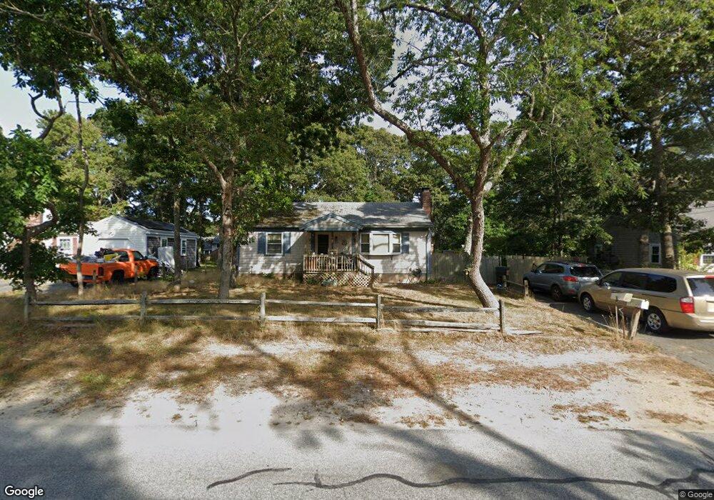
204 Megan Rd Hyannis, MA 02601
Estimated Value: $491,000 - $518,000
2
Beds
1
Bath
986
Sq Ft
$511/Sq Ft
Est. Value
About This Home
This home is located at 204 Megan Rd, Hyannis, MA 02601 and is currently estimated at $503,944, approximately $511 per square foot. 204 Megan Rd is a home located in Barnstable County with nearby schools including Hyannis West Elementary School, Barnstable United Elementary School, and Barnstable Intermediate School.
Ownership History
Date
Name
Owned For
Owner Type
Purchase Details
Closed on
Feb 28, 2003
Sold by
Vosganian Vahik and Voskanian Andranik
Bought by
Latimer John E
Current Estimated Value
Home Financials for this Owner
Home Financials are based on the most recent Mortgage that was taken out on this home.
Original Mortgage
$205,270
Outstanding Balance
$88,889
Interest Rate
5.98%
Mortgage Type
Purchase Money Mortgage
Estimated Equity
$415,055
Create a Home Valuation Report for This Property
The Home Valuation Report is an in-depth analysis detailing your home's value as well as a comparison with similar homes in the area
Home Values in the Area
Average Home Value in this Area
Purchase History
| Date | Buyer | Sale Price | Title Company |
|---|---|---|---|
| Latimer John E | $208,500 | -- |
Source: Public Records
Mortgage History
| Date | Status | Borrower | Loan Amount |
|---|---|---|---|
| Open | Latimer John E | $205,270 |
Source: Public Records
Tax History Compared to Growth
Tax History
| Year | Tax Paid | Tax Assessment Tax Assessment Total Assessment is a certain percentage of the fair market value that is determined by local assessors to be the total taxable value of land and additions on the property. | Land | Improvement |
|---|---|---|---|---|
| 2025 | $3,749 | $404,400 | $136,100 | $268,300 |
| 2024 | $3,640 | $402,200 | $136,100 | $266,100 |
| 2023 | $3,474 | $363,000 | $130,600 | $232,400 |
| 2022 | $3,449 | $298,100 | $96,800 | $201,300 |
| 2021 | $3,075 | $258,200 | $91,700 | $166,500 |
| 2020 | $3,116 | $252,700 | $91,700 | $161,000 |
| 2019 | $2,900 | $230,500 | $86,600 | $143,900 |
| 2018 | $2,571 | $209,000 | $91,100 | $117,900 |
| 2017 | $2,187 | $182,400 | $69,700 | $112,700 |
| 2016 | $2,145 | $182,900 | $70,200 | $112,700 |
| 2015 | $2,064 | $178,400 | $67,900 | $110,500 |
Source: Public Records
Map
Nearby Homes
- 52 Maryalice Ln
- 292 Megan Rd
- 57 Suffolk Ave
- 7 Delta St
- 199 Hamden Cir
- 720 Pitchers Way Unit 52
- 179 Sudbury Ln
- 69 Pine Grove Ave
- 28 Bumpus Rd
- 86 Arrowhead Dr
- 15 Goldie Way
- 295 Sudbury Ln
- 296 Lincoln Rd
- 112 W Main St Unit 4
- 112 W Main St Unit 1
- 112 W Main St Unit 2
- 112 W Main St Unit 7
- 112 W Main St Unit 5
- 112 W Main St Unit 8
- 112 W Main St Unit 3
- 212 Megan Rd
- 196 Megan Rd
- 201 Megan Rd
- 209 Megan Rd
- 193 Megan Rd
- 220 Megan Rd
- 188 Megan Rd
- 217 Megan Rd
- 185 Megan Rd
- 67 Saint Catherine Ave
- 225 Megan Rd
- 79 Saint Catherine Ave
- 228 Megan Rd
- 180 Megan Rd
- 91 Saint Catherine Ave
- 55 Saint Catherine Ave
- 177 Megan Rd
- 233 Megan Rd
- 93 Saint Catherine Ave
- 236 Megan Rd