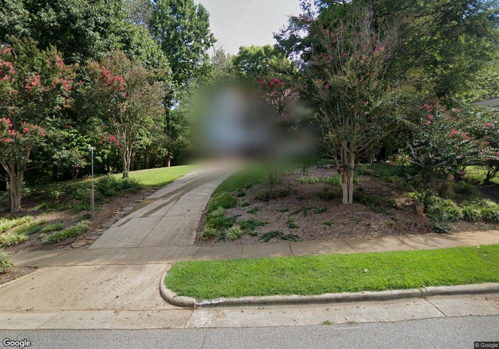
204 Melksham Rd Wake Forest, NC 27587
Estimated Value: $435,473 - $488,000
Studio
3
Baths
2,234
Sq Ft
$207/Sq Ft
Est. Value
About This Home
This home is located at 204 Melksham Rd, Wake Forest, NC 27587 and is currently estimated at $462,868, approximately $207 per square foot. 204 Melksham Rd is a home located in Wake County with nearby schools including Richland Creek Elementary School, Wake Forest-Rolesville Middle School, and Wake Forest High School.
Ownership History
Date
Name
Owned For
Owner Type
Purchase Details
Closed on
Feb 4, 1999
Sold by
St Lawrence Homes Inc
Bought by
Lyon Kevin L and Esch Virginia M
Current Estimated Value
Home Financials for this Owner
Home Financials are based on the most recent Mortgage that was taken out on this home.
Original Mortgage
$158,800
Outstanding Balance
$36,397
Interest Rate
6.37%
Estimated Equity
$426,471
Create a Home Valuation Report for This Property
The Home Valuation Report is an in-depth analysis detailing your home's value as well as a comparison with similar homes in the area
Home Values in the Area
Average Home Value in this Area
Purchase History
| Date | Buyer | Sale Price | Title Company |
|---|---|---|---|
| Lyon Kevin L | $199,000 | -- |
Source: Public Records
Mortgage History
| Date | Status | Borrower | Loan Amount |
|---|---|---|---|
| Open | Lyon Kevin L | $158,800 |
Source: Public Records
Tax History
| Year | Tax Paid | Tax Assessment Tax Assessment Total Assessment is a certain percentage of the fair market value that is determined by local assessors to be the total taxable value of land and additions on the property. | Land | Improvement |
|---|---|---|---|---|
| 2025 | $4,367 | $450,981 | $100,000 | $350,981 |
| 2024 | $4,351 | $450,981 | $100,000 | $350,981 |
Source: Public Records
Map
Nearby Homes
- 140 Melksham Rd
- 317 Conrad Ln
- 321 Conrad Ln
- 1006 Barnford Mill Rd
- 1205 Barnford Mill Rd
- 1011 Barnford Mill Rd
- 352 Cascade Hills Ln
- 904 Barnford Mill Rd
- 1041 Barnford Mill Rd
- 508 Ferry Ct
- 420 Golden Dragonfly St
- 424 Golden Dragonfly St
- 428 Golden Dragonfly St
- 409 Falls Bluff Dr
- 413 Falls Bluff Dr
- 108 W Chestnut Ave
- 448 Golden Dragonfly St
- 405 Falls Bluff Dr
- 945 Alma Railway Dr Unit 559
- 933 Alma Railway Dr Unit 553
- 200 Melksham Rd
- 205 Watchet Place
- 209 Watchet Place
- 152 Melksham Rd
- 201 Watchet Place
- 912 Shapinsay Ave
- 917 Finchurch Cir
- 148 Melksham Rd
- 148 Melksham Rd Unit Lt63
- 913 Shapinsay Ave
- 913 Finchurch Cir
- 144 Melksham Rd
- 908 Shapinsay Ave
- LOT 49 Finchurch Cir
- LOT 43 Finchurch Cir
- 200 Watchet Place
- 151 Melksham Rd
- 301 Watchet Place
- 909 Finchurch Cir
- 916 Finchurch Cir
Your Personal Tour Guide
Ask me questions while you tour the home.