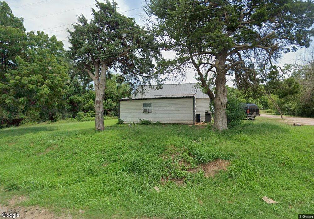
204 N 4th St McLoud, OK 74851
Estimated Value: $74,700 - $124,000
2
Beds
1
Bath
1,346
Sq Ft
$76/Sq Ft
Est. Value
About This Home
This home is located at 204 N 4th St, McLoud, OK 74851 and is currently estimated at $101,675, approximately $75 per square foot. 204 N 4th St is a home located in Pottawatomie County with nearby schools including McLoud Elementary School, McLoud Intermediate School, and McLoud Junior High School.
Ownership History
Date
Name
Owned For
Owner Type
Purchase Details
Closed on
Jul 25, 2006
Sold by
Hud
Bought by
Scott Quality Homes Corp
Current Estimated Value
Purchase Details
Closed on
Jun 28, 2005
Sold by
Hall Glenn Timothy and Hall Patricia Kay
Bought by
Secretary Of Hud
Purchase Details
Closed on
Jul 5, 2000
Sold by
Madison Shelby and Madison Dennise
Bought by
Hall Glenn T and Hall Patricia
Purchase Details
Closed on
Jun 23, 1997
Sold by
Priest Robert and Priest Charleen
Bought by
Madison Shelby and Madison Dennise
Create a Home Valuation Report for This Property
The Home Valuation Report is an in-depth analysis detailing your home's value as well as a comparison with similar homes in the area
Home Values in the Area
Average Home Value in this Area
Purchase History
| Date | Buyer | Sale Price | Title Company |
|---|---|---|---|
| Scott Quality Homes Corp | -- | None Available | |
| Secretary Of Hud | -- | None Available | |
| Hall Glenn T | $26,000 | -- | |
| Madison Shelby | $8,000 | -- |
Source: Public Records
Tax History
| Year | Tax Paid | Tax Assessment Tax Assessment Total Assessment is a certain percentage of the fair market value that is determined by local assessors to be the total taxable value of land and additions on the property. | Land | Improvement |
|---|---|---|---|---|
| 2025 | $298 | $3,409 | $375 | $3,034 |
| 2024 | $281 | $3,246 | $357 | $2,889 |
| 2023 | $281 | $3,092 | $300 | $2,792 |
| 2022 | $285 | $3,092 | $300 | $2,792 |
| 2021 | $357 | $3,092 | $300 | $2,792 |
| 2020 | $262 | $2,837 | $270 | $2,567 |
| 2019 | $257 | $2,701 | $183 | $2,518 |
| 2018 | $260 | $2,573 | $169 | $2,404 |
| 2017 | $251 | $2,451 | $66 | $2,385 |
| 2016 | $214 | $2,334 | $60 | $2,274 |
| 2015 | $188 | $2,223 | $360 | $1,863 |
| 2014 | $188 | $2,117 | $360 | $1,757 |
Source: Public Records
Map
Nearby Homes
- 211 S 6th St
- 400 S Main St
- 827 W Broadway Ave
- 922 W Hinchley Ave
- 141 Folsom Dr
- 0 Thomas Blvd Unit 1205900
- 694 8 St
- 13421 Juneberry Dr
- 29805 SE 29th St
- 115 Thornbrue Dr
- 113 Summer Oaks Dr
- 30280 Stephens Dr
- 3129 Janet Ln Unit HAR
- 29273 Spur Cir
- 15961 Prairie Rose Dr
- 15952 Prairie Rose Dr
- 333033 E 1065 Rd
- 333144 E 1066 Dr
- 29353 Oklahoma St
- 10 Timber Oaks Rd
- 409 E Hinchley St
- 130 N 4th St
- 403 E Hinchley St
- 129 N 4th St
- 410 E Pittman Ave
- 213 N 4th St
- 200 N Main St
- 216 N Main St
- 122 N 3rd St
- 416 E Pittman Ave
- 116 N 3rd St
- 207 E Pittman Ave
- 321 E Broadway Ave
- 317 E Broadway Ave
- 401 W Hinchley St
- 221 E Broadway Ave
- 003 N Mcloud Rd
- 211 N Main St
- 215 E Broadway Ave
- 225 N Main St
Your Personal Tour Guide
Ask me questions while you tour the home.