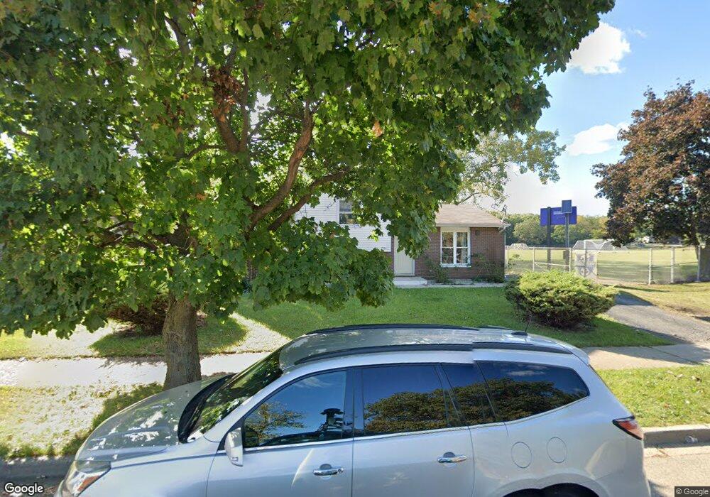
204 N Mcaree Rd Waukegan, IL 60085
Washington Hills NeighborhoodEstimated Value: $219,000 - $250,129
3
Beds
2
Baths
982
Sq Ft
$241/Sq Ft
Est. Value
About This Home
This home is located at 204 N Mcaree Rd, Waukegan, IL 60085 and is currently estimated at $237,032, approximately $241 per square foot. 204 N Mcaree Rd is a home located in Lake County with nearby schools including Whittier Elementary School, Robert E. Abbott Middle School, and Waukegan High School.
Ownership History
Date
Name
Owned For
Owner Type
Purchase Details
Closed on
Oct 5, 2021
Sold by
Judah Fathi
Bought by
Judah Fathi and Judah Maritza
Current Estimated Value
Purchase Details
Closed on
Oct 28, 2003
Sold by
Ocwen Federal Bank Fsb
Bought by
Judah Fathi
Purchase Details
Closed on
Jun 26, 2003
Sold by
Going Nehamas and Ocwen Federal Bank Fsb
Bought by
Ocwen Federal Bank Fsb and Deutsche Bank National Trust Co
Create a Home Valuation Report for This Property
The Home Valuation Report is an in-depth analysis detailing your home's value as well as a comparison with similar homes in the area
Home Values in the Area
Average Home Value in this Area
Purchase History
| Date | Buyer | Sale Price | Title Company |
|---|---|---|---|
| Judah Fathi | -- | None Available | |
| Judah Fathi | $137,500 | First American Title | |
| Ocwen Federal Bank Fsb | -- | -- |
Source: Public Records
Tax History Compared to Growth
Tax History
| Year | Tax Paid | Tax Assessment Tax Assessment Total Assessment is a certain percentage of the fair market value that is determined by local assessors to be the total taxable value of land and additions on the property. | Land | Improvement |
|---|---|---|---|---|
| 2024 | $5,343 | $63,289 | $9,559 | $53,730 |
| 2023 | $5,537 | $56,663 | $8,558 | $48,105 |
| 2022 | $5,537 | $56,640 | $7,865 | $48,775 |
| 2021 | $5,051 | $48,448 | $6,719 | $41,729 |
| 2020 | $5,116 | $45,136 | $6,260 | $38,876 |
| 2019 | $5,149 | $41,360 | $5,736 | $35,624 |
| 2018 | $5,029 | $38,898 | $8,857 | $30,041 |
| 2017 | $4,895 | $34,414 | $7,836 | $26,578 |
| 2016 | $4,621 | $29,904 | $6,809 | $23,095 |
| 2015 | $4,521 | $26,764 | $6,094 | $20,670 |
| 2014 | $3,786 | $22,378 | $6,842 | $15,536 |
| 2012 | $4,692 | $24,245 | $7,414 | $16,831 |
Source: Public Records
Map
Nearby Homes
- 0 Brookside Ave
- 24 Washington Terrace
- 102 Baldwin Ave
- 2115 Lydia St
- 615 Tiffany Dr
- 49 S Lewis Ave
- 1213 Grand Ave
- 132 Dorchester Ct
- 3170 W Monroe St Unit 309
- 2726 W Hidden Glen Dr
- 12601 W Atlantic Ave
- 2116 & 2101 Williamsburg Dr
- 621 N Austin Ave
- 34887 N Austin Ave
- 603 N Austin Ave
- 1416 Hamilton Ct
- 1521 Catalpa Ave
- 12698 W Grandview Ave
- 12716 W Grandview Ave
- 1005 N Lewis Ave
- 2614 Colbert Rd
- 2600 Colbert Rd
- 2620 Colbert Rd
- 2605 Colbert Rd
- 201 N Mcaree Rd
- 123 N Mcaree Rd
- 2609 Colbert Rd
- 2626 Colbert Rd
- 114 N Mcaree Rd
- 2611 Colbert Rd
- 121 N Mcaree Rd
- 2619 Colbert Rd
- 117 N Mcaree Rd
- 2520 Dunlay Ct
- 2516 Dunlay Ct
- 2630 Colbert Rd
- 115 N Mcaree Rd
- 2625 Colbert Rd
- 2524 Dunlay Ct
- 108 N Mcaree Rd