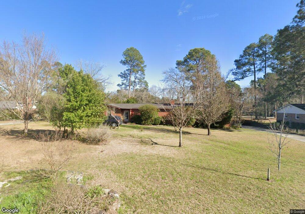
204 Nesmith Way Statesboro, GA 30458
Estimated Value: $270,000 - $326,000
3
Beds
2
Baths
2,370
Sq Ft
$124/Sq Ft
Est. Value
About This Home
This home is located at 204 Nesmith Way, Statesboro, GA 30458 and is currently estimated at $292,855, approximately $123 per square foot. 204 Nesmith Way is a home located in Bulloch County with nearby schools including Mattie Lively Elementary School, Statesboro High School, and William James Middle School.
Ownership History
Date
Name
Owned For
Owner Type
Purchase Details
Closed on
Oct 17, 2006
Sold by
Not Provided
Bought by
Richards Betty J
Current Estimated Value
Home Financials for this Owner
Home Financials are based on the most recent Mortgage that was taken out on this home.
Original Mortgage
$27,000
Interest Rate
6.31%
Mortgage Type
New Conventional
Purchase Details
Closed on
Oct 1, 1970
Bought by
Richards Russell G
Create a Home Valuation Report for This Property
The Home Valuation Report is an in-depth analysis detailing your home's value as well as a comparison with similar homes in the area
Home Values in the Area
Average Home Value in this Area
Purchase History
| Date | Buyer | Sale Price | Title Company |
|---|---|---|---|
| Richards Betty J | -- | -- | |
| Richards Russell G | -- | -- |
Source: Public Records
Mortgage History
| Date | Status | Borrower | Loan Amount |
|---|---|---|---|
| Closed | Richards Betty J | $27,000 |
Source: Public Records
Tax History Compared to Growth
Tax History
| Year | Tax Paid | Tax Assessment Tax Assessment Total Assessment is a certain percentage of the fair market value that is determined by local assessors to be the total taxable value of land and additions on the property. | Land | Improvement |
|---|---|---|---|---|
| 2024 | $1,788 | $87,520 | $14,000 | $73,520 |
| 2023 | $1,319 | $79,000 | $10,000 | $69,000 |
| 2022 | $1,323 | $66,761 | $8,480 | $58,281 |
| 2021 | $1,030 | $52,216 | $8,480 | $43,736 |
| 2020 | $978 | $49,741 | $8,480 | $41,261 |
| 2019 | $968 | $49,098 | $7,520 | $41,578 |
| 2018 | $860 | $42,886 | $7,520 | $35,366 |
| 2017 | $840 | $41,715 | $7,520 | $34,195 |
| 2016 | $837 | $40,853 | $7,520 | $33,333 |
| 2015 | $836 | $40,750 | $7,520 | $33,230 |
| 2014 | $766 | $40,750 | $7,520 | $33,230 |
Source: Public Records
Map
Nearby Homes
- 208 Nesmith Way
- 448 Myrtle Crossing Ln
- 103 Oak Hollow Dr
- 437 Myrtle Crossing Ln
- 29 Jef Rd
- 197 Zetterower Rd
- 111 Zetterower Rd
- 3 Friar Tuck Trail
- 113 Ladd Cir
- 0 Miller Street Extension Unit 10595930
- 0 Miller Street Extension Unit LOT 18 10595926
- 0 Miller Street Extension Unit LOT 19 10595919
- 0 Miller Street Extension Unit LOT 20 10595908
- 0 Miller Street Extension Unit LOT 21 10595866
- 0 Miller Street Extension Unit LOT 22 10595860
- 0 Miller Street Extension Unit LOT 23 10594167
- 141 Williams Rd
- 124 Pin Oak Ln
- 107 Fernhill Dr
- 517 Pleasant Point Rd
- 206 Nesmith Way
- 202 Nesmith Way
- 210 Shuman Dr
- 212 Shuman Dr
- 205 Nesmith Way
- 0 Shuman Dr Unit 7495221
- 0 Shuman Dr Unit 7433216
- 0 Shuman Dr Unit 7277479
- 0 Shuman Dr Unit 8606806
- 0 Shuman Dr Unit 8535396
- 0 Shuman Dr Unit 2900727
- 0 Shuman Dr Unit 8422855
- 0 Shuman Dr Unit 7461909
- 0 Shuman Dr Unit 7012418
- 0 Shuman Dr
- 203 Nesmith Way
- 200 Nesmith Way
- 214 Shuman Dr
- 203 Jonathan Rd
- 202 Shuman Dr