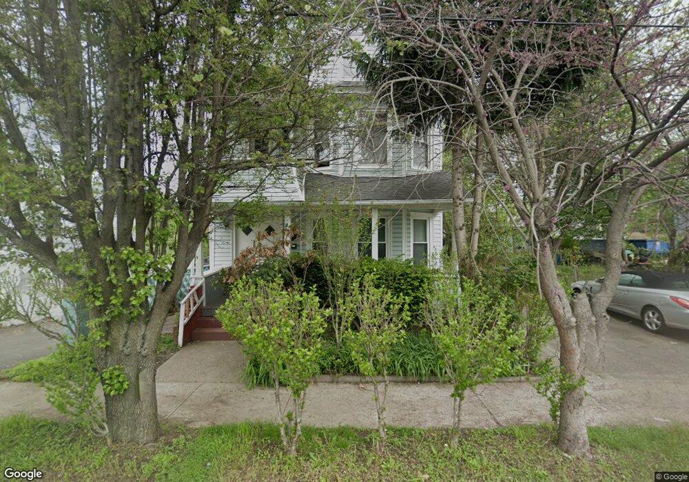
204 New Bridge St West Springfield, MA 01089
Estimated Value: $335,663 - $424,000
6
Beds
3
Baths
2,352
Sq Ft
$158/Sq Ft
Est. Value
About This Home
This home is located at 204 New Bridge St, West Springfield, MA 01089 and is currently estimated at $371,166, approximately $157 per square foot. 204 New Bridge St is a home located in Hampden County with nearby schools including Hampden Charter School of Science West and Libertas Academy Charter School.
Ownership History
Date
Name
Owned For
Owner Type
Purchase Details
Closed on
Jan 29, 1999
Sold by
Marconi William and Marconi Theresa
Bought by
Marquez Jose S and Saenz Delmy N
Current Estimated Value
Home Financials for this Owner
Home Financials are based on the most recent Mortgage that was taken out on this home.
Original Mortgage
$88,504
Outstanding Balance
$20,823
Interest Rate
6.67%
Mortgage Type
Purchase Money Mortgage
Estimated Equity
$350,343
Purchase Details
Closed on
Dec 24, 1991
Sold by
Arcangeletti Anna
Bought by
Marconi William and Marconi Alberto
Create a Home Valuation Report for This Property
The Home Valuation Report is an in-depth analysis detailing your home's value as well as a comparison with similar homes in the area
Home Values in the Area
Average Home Value in this Area
Purchase History
| Date | Buyer | Sale Price | Title Company |
|---|---|---|---|
| Marquez Jose S | $88,550 | -- | |
| Marconi William | $40,000 | -- |
Source: Public Records
Mortgage History
| Date | Status | Borrower | Loan Amount |
|---|---|---|---|
| Open | Marconi William | $15,636 | |
| Open | Marconi William | $88,504 |
Source: Public Records
Tax History Compared to Growth
Tax History
| Year | Tax Paid | Tax Assessment Tax Assessment Total Assessment is a certain percentage of the fair market value that is determined by local assessors to be the total taxable value of land and additions on the property. | Land | Improvement |
|---|---|---|---|---|
| 2025 | $4,092 | $275,200 | $86,000 | $189,200 |
| 2024 | $4,076 | $275,200 | $86,000 | $189,200 |
| 2023 | $3,730 | $240,000 | $86,000 | $154,000 |
| 2022 | $3,578 | $227,000 | $78,100 | $148,900 |
| 2021 | $2,927 | $173,200 | $63,100 | $110,100 |
| 2020 | $2,941 | $173,100 | $63,100 | $110,000 |
| 2019 | $2,936 | $173,100 | $63,100 | $110,000 |
| 2018 | $2,951 | $173,100 | $63,100 | $110,000 |
| 2017 | $2,951 | $173,100 | $63,100 | $110,000 |
| 2016 | $2,898 | $170,600 | $60,600 | $110,000 |
| 2015 | $2,914 | $171,500 | $59,400 | $112,100 |
| 2014 | $2,814 | $171,500 | $59,400 | $112,100 |
Source: Public Records
Map
Nearby Homes
- 31 Russell St
- 20 Sprague St
- 37 Day St
- 56 Exposition Terrace
- 140 Chestnut St Unit 706
- 140 Chestnut St Unit 204
- 140 Chestnut St Unit 819
- 140 Chestnut St Unit 607
- 140 Chestnut St Unit 210
- 140 Chestnut St Unit 202
- 140 Chestnut St Unit 604
- 140 Chestnut St Unit 709
- 385 Worthington St Unit 3D
- 61-63 Wilcox St
- 86 York St
- 53 Fremont St
- 78 Lowell St
- 13 Ringgold St
- 69 Winter St
- 49 Colony Rd
- 204 New Bridge St
- 25 Summer St
- 220-222 New Bridge St
- 19 Willard Ave
- 161 New Bridge St
- 158 New Bridge St
- 11 Barnard St
- 28 Willard Ave
- 53 W School St
- 152 New Bridge St
- 9 Willard Ave
- 41 W School St
- 149 New Bridge St
- 149 New Bridge St
- 22 Willard Ave
- 30 Cook St
- 44 Mulberry St
- 576 Memorial Ave
- 20 Cook St
- 72 W School St