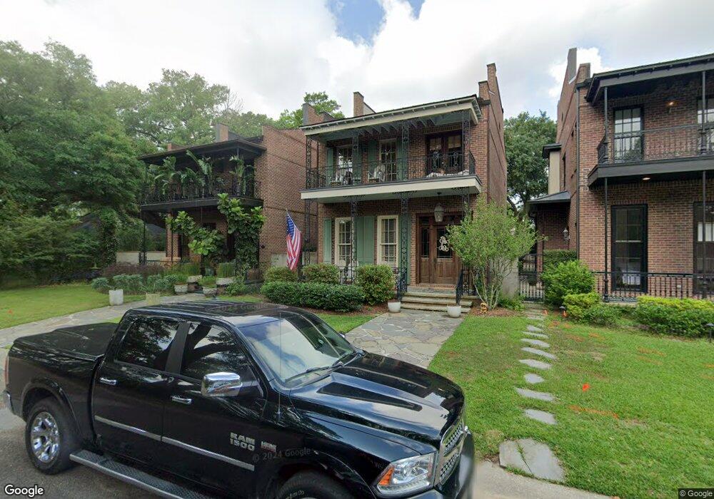
204 Oswalt St Unit C Fairhope, AL 36532
Estimated Value: $652,000 - $989,882
3
Beds
3
Baths
3,012
Sq Ft
$278/Sq Ft
Est. Value
About This Home
This home is located at 204 Oswalt St Unit C, Fairhope, AL 36532 and is currently estimated at $835,971, approximately $277 per square foot. 204 Oswalt St Unit C is a home located in Baldwin County with nearby schools including Fairhope West Elementary School, Fairhope Middle School, and Fairhope High School.
Ownership History
Date
Name
Owned For
Owner Type
Purchase Details
Closed on
Jul 25, 2023
Sold by
Johnson George Michael and Johnson George Michael
Bought by
Johnson George Michael and Johnson George Michael
Current Estimated Value
Purchase Details
Closed on
Mar 7, 2005
Sold by
Malouf Patrick
Bought by
Lee Kristi Dubose
Home Financials for this Owner
Home Financials are based on the most recent Mortgage that was taken out on this home.
Original Mortgage
$273,160
Interest Rate
5.6%
Mortgage Type
Unknown
Create a Home Valuation Report for This Property
The Home Valuation Report is an in-depth analysis detailing your home's value as well as a comparison with similar homes in the area
Home Values in the Area
Average Home Value in this Area
Purchase History
| Date | Buyer | Sale Price | Title Company |
|---|---|---|---|
| Johnson George Michael | $693,000 | None Listed On Document | |
| Lee Kristi Dubose | -- | None Available |
Source: Public Records
Mortgage History
| Date | Status | Borrower | Loan Amount |
|---|---|---|---|
| Previous Owner | Lee Kristi Dubose | $273,160 |
Source: Public Records
Tax History Compared to Growth
Tax History
| Year | Tax Paid | Tax Assessment Tax Assessment Total Assessment is a certain percentage of the fair market value that is determined by local assessors to be the total taxable value of land and additions on the property. | Land | Improvement |
|---|---|---|---|---|
| 2024 | $3,824 | $83,140 | $0 | $83,140 |
| 2023 | $3,187 | $69,280 | $0 | $69,280 |
| 2022 | $2,841 | $61,760 | $0 | $0 |
| 2021 | $5,126 | $55,720 | $0 | $0 |
| 2020 | $2,563 | $55,720 | $0 | $0 |
| 2019 | $1,630 | $49,700 | $0 | $0 |
| 2018 | $1,630 | $45,180 | $0 | $0 |
| 2017 | $1,898 | $45,180 | $0 | $0 |
| 2016 | $1,639 | $39,160 | $0 | $0 |
| 2015 | $1,316 | $31,640 | $0 | $0 |
| 2014 | $1,316 | $31,640 | $0 | $0 |
| 2013 | -- | $63,260 | $0 | $0 |
Source: Public Records
Map
Nearby Homes
- 406 White Ave Unit 26
- 258 S School St
- 301 S School St
- 309 -A S School St
- 361 Azalea St Unit 58
- 509 Nichols Ave Unit 20,
- 4 Downtown Founders Ln
- 410 Azalea St Unit 101
- 410 Azalea St Unit 102
- 314 de La Mare Ave Unit 2
- 210 Mershon St
- 351 Kirkman Ln
- 556 Johnson Ave
- 406 Fairland Ave Unit 4
- 0 S Section St Unit 2 358159
- 556 Middle St
- 0 County Road 3 Unit 13 370244
- 505 Huller Ave
- 4 Azalea Ct
- 0 Liberty St Unit 8 382068
- 204 Oswalt St Unit B
- 204 Oswalt St Unit A
- 204 Oswalt St Unit 204C
- 204 Oswalt St
- 204a Oswalt St
- 208 Oswalt St
- 211 S Section St
- 211 S Section St Unit C
- 211 S Section St Unit B
- 211 Oswalt St
- 209 Oswalt St
- 453 Cole Ct
- 251 S Section St
- 251 S Section St
- 251 S Section St
- 205 Oswalt St
- 252 Oswalt St
- 452 Cole Ct
- 255 S Section St
- 248 S School St