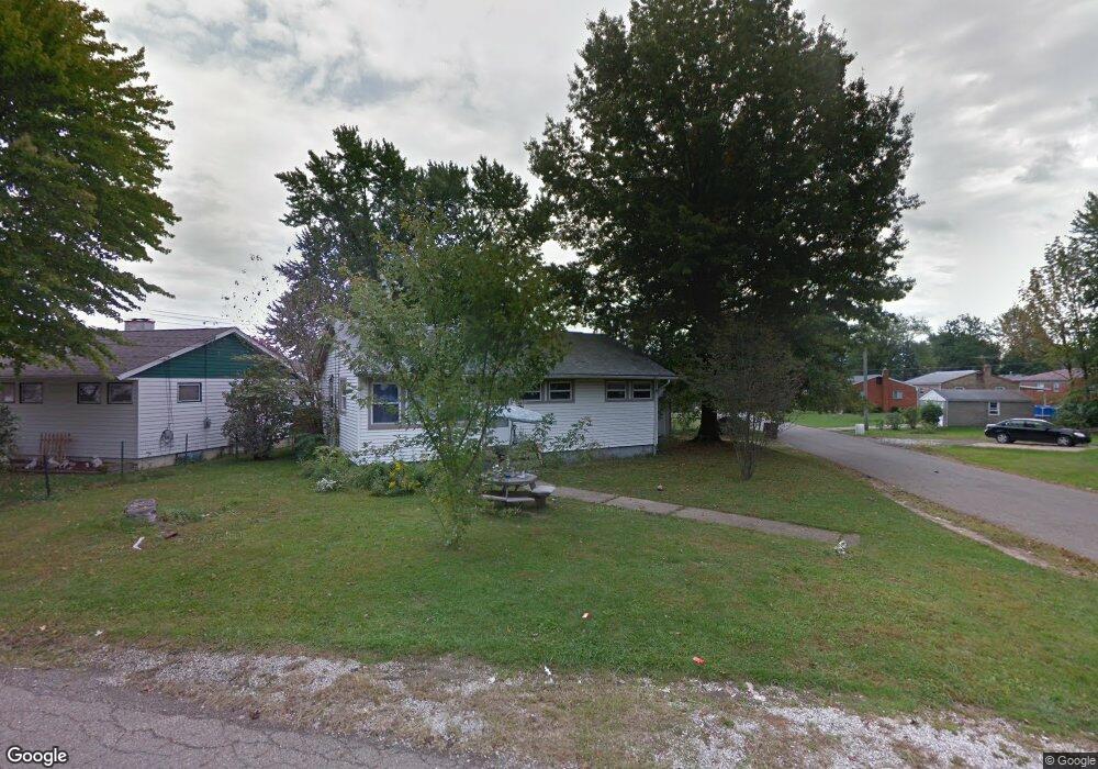
204 Page St NW Massillon, OH 44647
East Brookfield NeighborhoodEstimated Value: $215,000 - $222,000
3
Beds
1
Bath
864
Sq Ft
$253/Sq Ft
Est. Value
About This Home
This home is located at 204 Page St NW, Massillon, OH 44647 and is currently estimated at $218,500, approximately $252 per square foot. 204 Page St NW is a home located in Stark County with nearby schools including Massillon Intermediate School, Massillon Junior High School, and Washington High School.
Ownership History
Date
Name
Owned For
Owner Type
Purchase Details
Closed on
Aug 11, 2023
Sold by
Habitat For Humanity East Central Ohio I
Bought by
Borell Michael James
Current Estimated Value
Purchase Details
Closed on
May 26, 2023
Sold by
Stark County Land Reutilization Corporat
Bought by
Humanity East Central Ohio Inc
Purchase Details
Closed on
Nov 6, 2017
Sold by
Schweizer Max
Bought by
Stark County Land Reutilization Corporat
Purchase Details
Closed on
May 18, 2016
Sold by
Fetters Julie L and Weekley Julie L
Bought by
Scheizer Max and Bodin Dax
Purchase Details
Closed on
Jul 30, 2008
Sold by
Weekley Scott H and Weekley Julie L
Bought by
Weekley Scott H and Weekley Julie L
Purchase Details
Closed on
Jul 21, 2004
Sold by
Weekley Barbara J
Bought by
Weekley Barbara J and Weekley Scott
Create a Home Valuation Report for This Property
The Home Valuation Report is an in-depth analysis detailing your home's value as well as a comparison with similar homes in the area
Home Values in the Area
Average Home Value in this Area
Purchase History
| Date | Buyer | Sale Price | Title Company |
|---|---|---|---|
| Borell Michael James | $1,000 | None Listed On Document | |
| Humanity East Central Ohio Inc | -- | None Listed On Document | |
| Stark County Land Reutilization Corporat | -- | None Available | |
| Scheizer Max | $10,200 | None Available | |
| Weekley Scott H | -- | Attorney | |
| Weekley Barbara J | -- | -- |
Source: Public Records
Tax History Compared to Growth
Tax History
| Year | Tax Paid | Tax Assessment Tax Assessment Total Assessment is a certain percentage of the fair market value that is determined by local assessors to be the total taxable value of land and additions on the property. | Land | Improvement |
|---|---|---|---|---|
| 2025 | -- | $5,640 | $5,640 | -- |
| 2024 | -- | $5,640 | $5,640 | -- |
| 2023 | $0 | $3,400 | $3,400 | $0 |
| 2022 | $1,223 | $3,400 | $3,400 | $0 |
| 2021 | $1,223 | $3,400 | $3,400 | $0 |
| 2020 | -- | $3,680 | $3,680 | $0 |
| 2019 | $694 | $21,850 | $6,230 | $15,620 |
| 2018 | $1,165 | $21,850 | $6,230 | $15,620 |
| 2017 | $1,165 | $19,710 | $5,250 | $14,460 |
| 2016 | $11,592 | $19,710 | $5,250 | $14,460 |
| 2015 | $1,882 | $19,710 | $5,250 | $14,460 |
| 2014 | $1,709 | $19,120 | $5,080 | $14,040 |
| 2013 | $857 | $19,120 | $5,080 | $14,040 |
Source: Public Records
Map
Nearby Homes
- 313 23rd St NW
- 2760 Relda Cir SW
- 728 Hillside Place SW
- 1835 Main Ave W
- 1735 Woodruff Ave NW
- 485 Grosvenor Ave NW
- 2855 Poplar St NW
- 429 18th St NW
- 104 16th St SW
- 3130 Lincoln Way W
- 822 32nd St NW
- 3069 Castle West Cir NW
- 315 14th St SW
- 121 13th St SW
- 1301 Lincoln Way NW
- 3241 Lincoln Way NW
- 830 Standish Cir NW
- 1616 Oberlin Ave SW
- 1110 14th St SW
- 1105 Tremont Ave SW