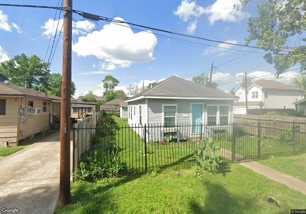
204 Pheasant St Houston, TX 77018
Independence Heights NeighborhoodEstimated Value: $189,000 - $249,000
2
Beds
1
Bath
896
Sq Ft
$259/Sq Ft
Est. Value
About This Home
This home is located at 204 Pheasant St, Houston, TX 77018 and is currently estimated at $232,247, approximately $259 per square foot. 204 Pheasant St is a home located in Harris County with nearby schools including Kennedy Elementary School, Williams Middle, and Booker T Washington Sr High.
Ownership History
Date
Name
Owned For
Owner Type
Purchase Details
Closed on
May 31, 2017
Sold by
Atmosphere Investment Llc
Bought by
Doyle Scott B
Current Estimated Value
Home Financials for this Owner
Home Financials are based on the most recent Mortgage that was taken out on this home.
Original Mortgage
$161,500
Outstanding Balance
$134,150
Interest Rate
3.97%
Mortgage Type
New Conventional
Estimated Equity
$98,097
Purchase Details
Closed on
Nov 11, 2016
Sold by
Fluellen Eddie and Fluellen Bernadine
Bought by
Atmosphere Investemtn Llc
Create a Home Valuation Report for This Property
The Home Valuation Report is an in-depth analysis detailing your home's value as well as a comparison with similar homes in the area
Home Values in the Area
Average Home Value in this Area
Purchase History
| Date | Buyer | Sale Price | Title Company |
|---|---|---|---|
| Doyle Scott B | -- | None Available | |
| Atmosphere Investemtn Llc | -- | Allegiance |
Source: Public Records
Mortgage History
| Date | Status | Borrower | Loan Amount |
|---|---|---|---|
| Open | Doyle Scott B | $161,500 |
Source: Public Records
Tax History Compared to Growth
Tax History
| Year | Tax Paid | Tax Assessment Tax Assessment Total Assessment is a certain percentage of the fair market value that is determined by local assessors to be the total taxable value of land and additions on the property. | Land | Improvement |
|---|---|---|---|---|
| 2025 | $1,707 | $208,527 | $133,056 | $75,471 |
| 2024 | $1,707 | $224,772 | $133,056 | $91,716 |
| 2023 | $1,707 | $202,644 | $118,272 | $84,372 |
| 2022 | $2,795 | $193,570 | $118,272 | $75,298 |
| 2021 | $2,690 | $164,780 | $93,632 | $71,148 |
| 2020 | $2,541 | $150,881 | $88,704 | $62,177 |
| 2019 | $2,413 | $102,205 | $44,352 | $57,853 |
| 2018 | $1,462 | $86,706 | $44,352 | $42,354 |
| 2017 | $1,440 | $56,941 | $34,496 | $22,445 |
| 2016 | $1,440 | $56,941 | $34,496 | $22,445 |
| 2015 | $1,223 | $54,738 | $24,640 | $30,098 |
| 2014 | $1,223 | $47,587 | $17,248 | $30,339 |
Source: Public Records
Map
Nearby Homes
- 212 Pheasant St
- 219 Pheasant St Unit B
- 3914 Tulane St
- 223 Cockerel St
- 4022 Rutland St
- 4010 Rutland St
- 3939 Tulane St
- 3911 Tulane St
- 1714 Plan B at Tulane Crossing
- 1752 Plan A at Tulane Crossing
- 3907 Tulane St
- 4115 Yale St
- 204 Blueberry St
- 4123 Yale St
- 406 Oriole St
- 4210 Allston St
- 4213 Yale St
- 3909 Yale St
- 3903 Yale Heights Dr
- 3908 Zina Way
- 208 Pheasant St
- 4012 Rutland St
- 215 Oriole St
- 4018 Rutland St
- 4016 Rutland St
- 217 Oriole St Unit 2
- 4014 Rutland St
- 4020 Rutland St
- 216 Pheasant St
- 203 Pheasant St
- 207 Pheasant St
- 223 B Oriole Unit B
- 4006 Rutland St
- 213 Pheasant St
- 4008 Rutland St
- 218 Pheasant St
- 221 Oriole St
- 221 Oriole St Unit A
- 221 Oriole St
- 221 Oriole St Unit B