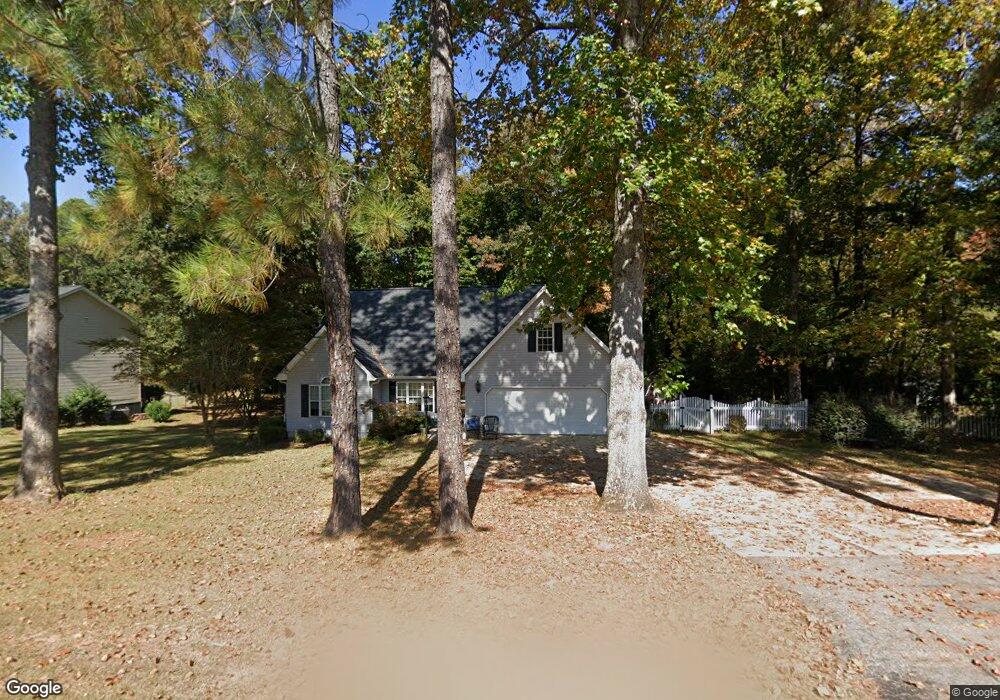
204 Playground Rd Walhalla, SC 29691
Estimated Value: $325,000 - $392,000
4
Beds
3
Baths
2,500
Sq Ft
$145/Sq Ft
Est. Value
About This Home
This home is located at 204 Playground Rd, Walhalla, SC 29691 and is currently estimated at $361,528, approximately $144 per square foot. 204 Playground Rd is a home with nearby schools including Walhalla Elementary School, Walhalla Middle School, and Walhalla High School.
Ownership History
Date
Name
Owned For
Owner Type
Purchase Details
Closed on
Mar 2, 2023
Sold by
Beattie Nicole J
Bought by
J & N Rentals Llc
Current Estimated Value
Purchase Details
Closed on
Jul 6, 2007
Sold by
Maw Daniel J and Maw Mary B
Bought by
Beattie John C and Beattie Nicole J
Home Financials for this Owner
Home Financials are based on the most recent Mortgage that was taken out on this home.
Original Mortgage
$160,000
Interest Rate
6.52%
Mortgage Type
New Conventional
Create a Home Valuation Report for This Property
The Home Valuation Report is an in-depth analysis detailing your home's value as well as a comparison with similar homes in the area
Home Values in the Area
Average Home Value in this Area
Purchase History
| Date | Buyer | Sale Price | Title Company |
|---|---|---|---|
| J & N Rentals Llc | -- | -- | |
| Beattie John C | $200,000 | None Available |
Source: Public Records
Mortgage History
| Date | Status | Borrower | Loan Amount |
|---|---|---|---|
| Previous Owner | Beattie John C | $160,000 |
Source: Public Records
Tax History
| Year | Tax Paid | Tax Assessment Tax Assessment Total Assessment is a certain percentage of the fair market value that is determined by local assessors to be the total taxable value of land and additions on the property. | Land | Improvement |
|---|---|---|---|---|
| 2025 | $4,312 | $9,489 | $894 | $8,595 |
| 2024 | $4,283 | $9,489 | $894 | $8,595 |
| 2023 | $4,212 | $9,489 | $894 | $8,595 |
| 2022 | $4,255 | $9,489 | $894 | $8,595 |
| 2021 | $2,989 | $8,858 | $734 | $8,124 |
| 2020 | $2,989 | $0 | $0 | $0 |
| 2019 | $2,989 | $0 | $0 | $0 |
| 2018 | $2,911 | $0 | $0 | $0 |
| 2017 | $4,086 | $0 | $0 | $0 |
| 2016 | $4,086 | $0 | $0 | $0 |
| 2015 | -- | $0 | $0 | $0 |
| 2014 | -- | $13,801 | $1,731 | $12,070 |
| 2013 | -- | $0 | $0 | $0 |
Source: Public Records
Map
Nearby Homes
- 00 Abbott Ln
- 101 Hazelwood Way
- 203 Tulip Dr
- 00 Fox Run Rd
- Lot 57 Fox Run Rd
- 221 Cub Cove Dr
- 327 Fox Run Rd
- 324 Fox Run Rd
- 147 White Oak St
- 223 N Dogwood Dr
- 412 N Spring St
- 606 N Poplar St
- Tract B Bobolink Dr
- 804 W North Broad St
- 209 Moore Ave
- 384 E Woodland Dr
- 606 W South Broad St
- 807 W Main St
- 00 Keowee St
- 107 S Laurel St
- 206 Playground Rd
- 202 Playground Rd
- 207 Lakeside Dr
- 205 Playground Rd
- 25 Lakeshore Dr
- 165 Letson Cir
- 211 Lakeside Dr
- 107 Playground Rd
- 207 Playground Rd
- 106 Playground Rd
- 30 Lakeshore Dr
- 209 Playground Rd
- 215 Lakeside Dr
- 206 Lakeside Dr
- 105 Playground Rd
- 210 Lakeside Dr
- 114 Lakeside Dr
- 444 N Church St
- 219 Lakeside Dr
- 211 Playground Rd