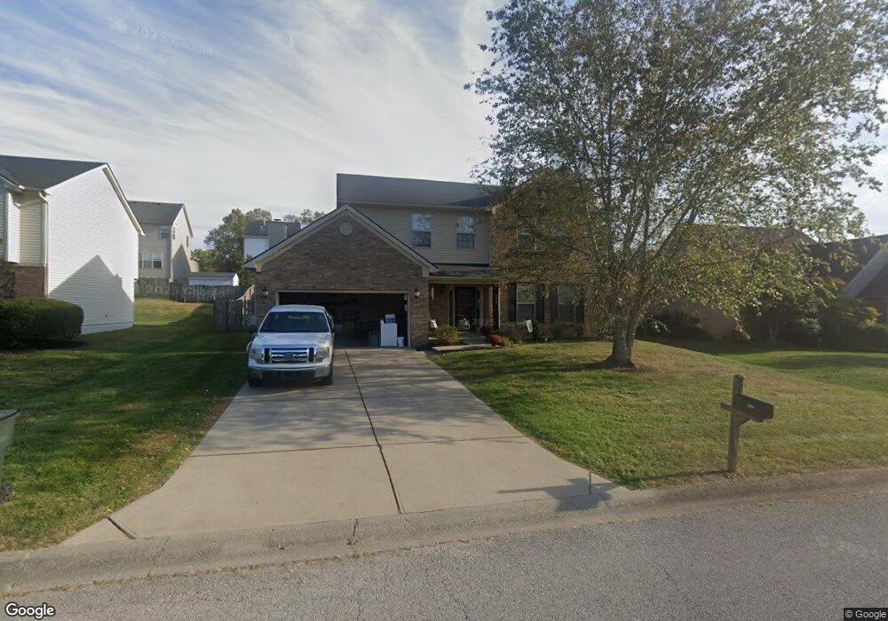
204 Ransom Trace Georgetown, KY 40324
Bradford Place NeighborhoodEstimated Value: $354,155 - $370,000
4
Beds
3
Baths
2,135
Sq Ft
$170/Sq Ft
Est. Value
About This Home
This home is located at 204 Ransom Trace, Georgetown, KY 40324 and is currently estimated at $362,789, approximately $169 per square foot. 204 Ransom Trace is a home located in Scott County with nearby schools including Southern Elementary School, Georgetown Middle School, and Scott County High School.
Ownership History
Date
Name
Owned For
Owner Type
Purchase Details
Closed on
Sep 29, 2008
Sold by
Premier Woodwright Llc
Bought by
Davis Mark Christopher and Davis Kimberly
Current Estimated Value
Home Financials for this Owner
Home Financials are based on the most recent Mortgage that was taken out on this home.
Original Mortgage
$68,000
Outstanding Balance
$44,322
Interest Rate
6.36%
Mortgage Type
New Conventional
Estimated Equity
$318,467
Purchase Details
Closed on
Oct 11, 2007
Sold by
Byars John C and Byars Kimberly S
Bought by
Premier Woodwright Llc
Home Financials for this Owner
Home Financials are based on the most recent Mortgage that was taken out on this home.
Original Mortgage
$146,979
Interest Rate
6.41%
Mortgage Type
Commercial
Create a Home Valuation Report for This Property
The Home Valuation Report is an in-depth analysis detailing your home's value as well as a comparison with similar homes in the area
Home Values in the Area
Average Home Value in this Area
Purchase History
| Date | Buyer | Sale Price | Title Company |
|---|---|---|---|
| Davis Mark Christopher | $168,000 | None Available | |
| Premier Woodwright Llc | $172,500 | None Available |
Source: Public Records
Mortgage History
| Date | Status | Borrower | Loan Amount |
|---|---|---|---|
| Open | Davis Mark Christopher | $68,000 | |
| Previous Owner | Premier Woodwright Llc | $146,979 |
Source: Public Records
Tax History
| Year | Tax Paid | Tax Assessment Tax Assessment Total Assessment is a certain percentage of the fair market value that is determined by local assessors to be the total taxable value of land and additions on the property. | Land | Improvement |
|---|---|---|---|---|
| 2025 | $2,723 | $305,700 | $0 | $0 |
| 2024 | $2,536 | $282,000 | $0 | $0 |
| 2023 | $2,426 | $267,600 | $42,000 | $225,600 |
| 2022 | $1,871 | $220,100 | $35,000 | $185,100 |
| 2021 | $1,912 | $203,000 | $35,000 | $168,000 |
| 2020 | $1,671 | $194,500 | $35,000 | $159,500 |
| 2019 | $1,635 | $187,300 | $0 | $0 |
| 2018 | $1,551 | $178,775 | $0 | $0 |
| 2017 | $1,559 | $178,775 | $0 | $0 |
| 2016 | $1,440 | $178,775 | $0 | $0 |
| 2015 | $1,380 | $172,500 | $0 | $0 |
| 2014 | $1,430 | $172,500 | $0 | $0 |
| 2011 | $107 | $172,500 | $0 | $0 |
Source: Public Records
Map
Nearby Homes
- 115 Victor Place
- 113 Walden Cove Unit 3I
- 134 Hemingway Place
- 106 Ransom Trace
- 100 Hemingway Ct
- 1335 Seminole Trail
- 232 W Showalter Dr
- 118 Chamberlain Dr
- 113 Stapleton Way
- 104 Bronte Place
- 251 W Showalter Dr
- 1026 Parkside Dr
- 132 Stapleton Way
- 1003 Parkside Dr
- 402 Hiawatha Trail
- 1117 Pawnee Trail
- 206 Hiawatha Trail
- 106 Capella Way
- 138 Magellan Ln
- 140 Magellan Ln
- 206 Ransom Trace
- 202 Ransom Trace
- 200 Ransom Trace Unit 3A
- 125 Irving Ln
- 123 Irving Ln
- 127 Irving Ln
- 121 Irving Ln
- 208 Ransom Trace Unit 3A
- 198 Ransom Trace
- 203 Ransom Trace
- 119 Irving Ln
- 201 Ransom Trace
- 205 Ransom Trace
- 210 Ransom Trace
- 199 Ransom Trace
- 0 Ransom Trace
- 209 Ransom Trace
- 214 Atwood Dr
- 131 Irving Ln
- 207 Ransom Trace
Your Personal Tour Guide
Ask me questions while you tour the home.