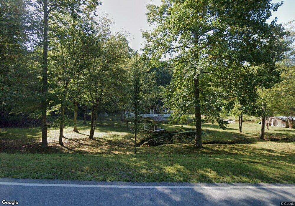
204 Red Oak Flats Rd Dahlonega, GA 30533
Estimated Value: $191,000 - $363,000
5
Beds
2
Baths
1,568
Sq Ft
$192/Sq Ft
Est. Value
About This Home
This home is located at 204 Red Oak Flats Rd, Dahlonega, GA 30533 and is currently estimated at $300,956, approximately $191 per square foot. 204 Red Oak Flats Rd is a home located in Lumpkin County with nearby schools including Lumpkin County High School.
Ownership History
Date
Name
Owned For
Owner Type
Purchase Details
Closed on
Mar 8, 2012
Sold by
Holt Lattie
Bought by
Lovette Alice L
Current Estimated Value
Purchase Details
Closed on
Jun 10, 2010
Sold by
Benegicial Mtg Co Of Georg
Bought by
Holt Lattie
Purchase Details
Closed on
Feb 2, 2010
Sold by
Westberry Drayson Drew and Westberry Beth
Bought by
Beneficial Mortgage Co
Purchase Details
Closed on
Jun 10, 1996
Sold by
Express Mortgage
Bought by
Westberry Drayson Dr
Purchase Details
Closed on
Dec 28, 1994
Sold by
Westberry Drayson Dr
Bought by
Express Mortgage
Purchase Details
Closed on
Jun 18, 1994
Bought by
Westberry Drayson Dr
Create a Home Valuation Report for This Property
The Home Valuation Report is an in-depth analysis detailing your home's value as well as a comparison with similar homes in the area
Home Values in the Area
Average Home Value in this Area
Purchase History
| Date | Buyer | Sale Price | Title Company |
|---|---|---|---|
| Lovette Alice L | -- | -- | |
| Holt Lattie | $69,000 | -- | |
| Beneficial Mortgage Co | $74,100 | -- | |
| Westberry Drayson Dr | $38,000 | -- | |
| Express Mortgage | $36,000 | -- | |
| Westberry Drayson Dr | $20,700 | -- |
Source: Public Records
Tax History Compared to Growth
Tax History
| Year | Tax Paid | Tax Assessment Tax Assessment Total Assessment is a certain percentage of the fair market value that is determined by local assessors to be the total taxable value of land and additions on the property. | Land | Improvement |
|---|---|---|---|---|
| 2024 | $1,447 | $63,536 | $28,130 | $35,406 |
| 2023 | $941 | $59,565 | $26,290 | $33,275 |
| 2022 | $1,265 | $53,106 | $21,911 | $31,195 |
| 2021 | $1,196 | $48,725 | $21,911 | $26,814 |
| 2020 | $1,192 | $47,183 | $20,995 | $26,188 |
| 2019 | $1,203 | $47,183 | $20,995 | $26,188 |
| 2018 | $1,209 | $44,611 | $20,995 | $23,616 |
| 2017 | $1,240 | $44,874 | $20,995 | $23,879 |
| 2016 | $1,280 | $44,793 | $20,995 | $23,798 |
| 2015 | $1,176 | $44,793 | $20,995 | $23,798 |
| 2014 | $1,176 | $44,608 | $20,995 | $23,613 |
| 2013 | -- | $45,341 | $20,994 | $24,346 |
Source: Public Records
Map
Nearby Homes
- 6439 S Chestatee
- 58 Hampton Forest Ct
- 119 Hampton Forest Place
- 6038 S Chestatee
- 0 Robinson Rd Unit 10597950
- 0 Robinson Rd Unit 7643549
- 187 Angers Ct
- 11 Lake Trail
- 433 Elliots Ln
- 865 Iberian Rd
- 33 Lion Ct
- 88 Fleet Dr
- 00 Long Branch Rd
- 0 Long Branch Rd Unit 10271720
- 0 Long Branch Rd Unit 10271266
- 0 Long Branch Rd Unit 7357871
- 72 Rustin Ridge Unit 276
- 5195 S Chestatee
- 0 Gold Crest Dr Unit 7623108
- 0 Gold Crest Dr Unit 10373986
- 133 Hampton Heath
- 64 Hampton
- 64 Hampton Unit Tr
- 685 Hampton Forest Trail
- 93 Hampton Heath
- 665 Hampton Forest Trail
- 130 Hampton Heath
- 0 Hampton Heath
- 315 Red Oak Flats Rd
- 85 Hampton Heath
- 647 Hampton Forest Trail Unit 28
- 647 Hampton Forest Trail
- 106 Hampton Heath
- 45 Hampton Heath
- 605 Hampton Forest Trail
- 78 Hampton Heath
- 888 Flanders Rd
- 1 Red Oak Flats Rd
- 577 Hampton Forest Trail
- 100 Botts Ave
