204 Royal Oaks Dr O Fallon, MO 63366
Estimated Value: $503,000 - $580,000
About This Home
This home is located at 204 Royal Oaks Dr, O Fallon, MO 63366 and is currently estimated at $551,261, approximately $266 per square foot. 204 Royal Oaks Dr is a home located in St. Charles County with nearby schools including Mount Hope Elementary School, Fort Zumwalt North Middle School, and Fort Zumwalt North High School.
Ownership History
We collect this data history from publicly available records. To have your information removed, we recommend requesting removal directly through your county’s website.
Purchase Details
Purchase Details
Home Financials for this Owner
Home Financials are based on the most recent Mortgage that was taken out on this home.Purchase Details
Purchase Details
Home Financials for this Owner
Home Financials are based on the most recent Mortgage that was taken out on this home.Purchase Details
Home Financials for this Owner
Home Financials are based on the most recent Mortgage that was taken out on this home.Purchase Details
Home Financials for this Owner
Home Financials are based on the most recent Mortgage that was taken out on this home.Purchase Details
Home Values in the Area
Average Home Value in this Area
Purchase History
We collect this data history from publicly available records. To have your information removed, we recommend requesting removal directly through your county’s website.
| Date | Buyer | Sale Price | Title Company |
|---|---|---|---|
| -- | None Available | ||
| $274,000 | None Available | ||
| $298,803 | None Available | ||
| -- | None Available | ||
| -- | -- | ||
| $60,000 | -- | ||
| -- | -- |
Mortgage History
We collect this data history from publicly available records. To have your information removed, we recommend requesting removal directly through your county’s website.
| Date | Status | Borrower | Loan Amount |
|---|---|---|---|
| Open | $260,300 | ||
| Previous Owner | $300,000 | ||
| Previous Owner | $247,410 | ||
| Previous Owner | $144,180 |
Tax History
We collect this data history from publicly available records. To have your information removed, we recommend requesting removal directly through your county’s website.
| Year | Tax Paid | Tax Assessment Tax Assessment Total Assessment is a certain percentage of the fair market value that is determined by local assessors to be the total taxable value of land and additions on the property. | Land | Improvement |
|---|---|---|---|---|
| 2025 | $4,288 | $73,414 | -- | -- |
| 2023 | $4,286 | $68,378 | $0 | $0 |
| 2022 | $3,715 | $55,152 | $0 | $0 |
| 2021 | $3,713 | $55,152 | $0 | $0 |
| 2020 | $4,766 | $68,400 | $0 | $0 |
| 2019 | $4,879 | $70,254 | $0 | $0 |
| 2018 | $4,797 | $66,005 | $0 | $0 |
| 2017 | $4,773 | $66,005 | $0 | $0 |
| 2016 | $4,160 | $57,274 | $0 | $0 |
| 2015 | $3,865 | $57,274 | $0 | $0 |
| 2014 | $3,732 | $53,916 | $0 | $0 |
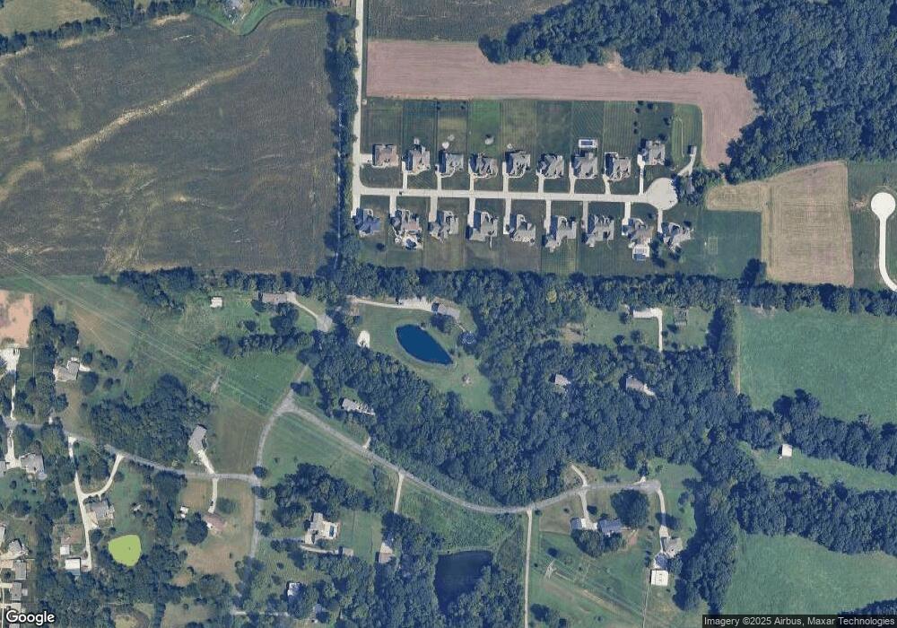
Map
- 413 Fox Sedge Ct
- 58 Fawn Oaks Dr
- 1358 Woodgrove Park Dr
- 915 Crestwood Ln
- 28 Fawn Oaks Dr
- 2011 Alana Ln
- 2 Windrush Ct
- 979 Crestwood Ln
- 3.59 Acres Matteson Blvd
- 7.19 Acres Matteson Blvd
- 3.6 Acres Matteson Blvd
- 1251 Lydia Ln
- 207 Bluestem Ln
- 1104 Duxbury Ln
- 2042 Saint Paul Rd
- 192 Roxbury Dr
- 703 Wayland Dr
- 5 Prairie Circle Ct
- 124 Park Ridge Dr
- 507 Castle Rock Bend Dr
- 104 Stone Ridge Meadows Dr
- 102 Stone Ridge Meadows Dr
- 106 Stone Ridge Meadows Dr
- 108 Stone Ridge Meadows Dr
- 4 Spring Ct
- 0Lot 2 Stone Ridge Meadows Dr
- 0Lot 15 Stone Ridge Meadows Dr
- 0Lot 17 Stone Ridge Meadows Dr
- 0Lot 8 Stone Ridge Meadows Dr
- 0Lot 7 Stone Ridge Meadows Dr
- 0Lot 4 Stone Ridge Meadows Dr
- 0Lot 5 Stone Ridge Meadows Dr
- 0Lot 3 Stone Ridge Meadows Dr
- 0Lot 6 Stone Ridge Meadows Dr
- 110 Stone Ridge Meadows Dr
- 100 Stone Ridge Meadows Dr
- 4A Spring River Dr Unit 4-3A
- 0Lot 14 Stone Ridge Meadows Dr
- 0Lot 4TBB Stone Ridge Meadows Dr
- 0Lot 3TBB Stone Ridge Meadows Dr
Ask me questions while you tour the home.