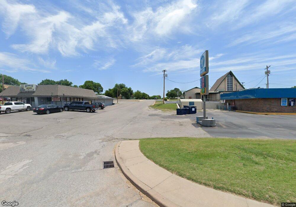
204 S Highway 81 Duncan, OK 73533
Estimated Value: $885,039
--
Bed
--
Bath
3,000
Sq Ft
$295/Sq Ft
Est. Value
About This Home
This home is located at 204 S Highway 81, Duncan, OK 73533 and is currently estimated at $885,039, approximately $295 per square foot. 204 S Highway 81 is a home located in Stephens County with nearby schools including Emerson Elementary School, Duncan Middle School, and Duncan High School.
Ownership History
Date
Name
Owned For
Owner Type
Purchase Details
Closed on
Jul 27, 2011
Sold by
Bsh Inc
Bought by
Saini Corp
Current Estimated Value
Home Financials for this Owner
Home Financials are based on the most recent Mortgage that was taken out on this home.
Original Mortgage
$355,745
Outstanding Balance
$244,973
Interest Rate
4.53%
Mortgage Type
Commercial
Estimated Equity
$640,066
Purchase Details
Closed on
Sep 5, 2008
Sold by
Kulak Llc
Bought by
Bsh Inc and Duncan Food Mart
Purchase Details
Closed on
Apr 6, 2004
Sold by
Cogdell Joe B and Cogdell Wife
Purchase Details
Closed on
Mar 27, 2001
Sold by
Cogdell Joe B and Cogdell Sue
Create a Home Valuation Report for This Property
The Home Valuation Report is an in-depth analysis detailing your home's value as well as a comparison with similar homes in the area
Home Values in the Area
Average Home Value in this Area
Purchase History
| Date | Buyer | Sale Price | Title Company |
|---|---|---|---|
| Saini Corp | $384,000 | American Eagle Title Group L | |
| Bsh Inc | $261,500 | None Available | |
| -- | $35,000 | -- | |
| -- | -- | -- |
Source: Public Records
Mortgage History
| Date | Status | Borrower | Loan Amount |
|---|---|---|---|
| Open | Saini Corp | $355,745 |
Source: Public Records
Tax History Compared to Growth
Tax History
| Year | Tax Paid | Tax Assessment Tax Assessment Total Assessment is a certain percentage of the fair market value that is determined by local assessors to be the total taxable value of land and additions on the property. | Land | Improvement |
|---|---|---|---|---|
| 2025 | $2,582 | $31,824 | $6,180 | $25,644 |
| 2024 | $2,582 | $30,308 | $6,180 | $24,128 |
| 2023 | $2,582 | $30,309 | $6,180 | $24,129 |
| 2022 | $2,337 | $27,491 | $6,180 | $21,311 |
| 2021 | $3,211 | $37,711 | $6,180 | $31,531 |
| 2020 | $3,285 | $38,046 | $6,180 | $31,866 |
| 2019 | $3,135 | $36,234 | $6,180 | $30,054 |
| 2018 | $3,231 | $36,284 | $6,180 | $30,104 |
| 2017 | $3,118 | $36,284 | $6,180 | $30,104 |
| 2016 | $3,050 | $35,885 | $6,180 | $29,705 |
| 2015 | $3,698 | $35,885 | $6,180 | $29,705 |
| 2014 | $3,698 | $42,240 | $12,153 | $30,087 |
Source: Public Records
Map
Nearby Homes
- 1309 W Pecan Ave
- 27 N 14th St
- 1812 W Walnut Ave
- 273787 E 1720 Rd
- 1203 W Walnut Ave
- 174831 N 2844 Rd
- 2006 W Oak Ave
- 2110 W Main St
- 2011 2011 W Oak Ave
- 711 711 S 12th
- 2108 Ave
- 168466 9 Mile Rd
- 1116 1116 W Chestnut
- 1105 W Beech Ave
- 210 N 22nd St
- 1109 W Stephens Ave
- 209 N 22nd St
- 201 N 23rd St
- 713 713 W Elm Ave
- 1003 1003 S 11th
- 1506 W Elm Ave
- 1504 W Elm Ave
- 310 S Highway 81
- 111 S 15th St
- 324 S Highway 81
- 303 S 15th St
- 1415 W Maple Ave
- 305 S 15th St
- 102 S Highway 81
- 110 S 15th St
- 1411 W Elm Ave
- 307 S 15th St
- 1410 W Maple Ave
- 1411 W Maple Ave
- 1409 W Elm Ave
- 311 S 15th St
- 1408 W Maple Ave
- 1416 W Willow Ave
- 1409 W Maple Ave
- 1407 W Elm Ave