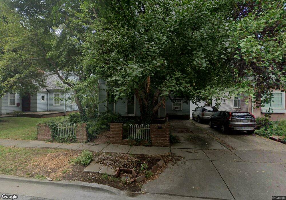
204 S Maple St Carbondale, IL 62901
Estimated Value: $175,000 - $227,000
3
Beds
1
Bath
189
Sq Ft
$1,022/Sq Ft
Est. Value
About This Home
This home is located at 204 S Maple St, Carbondale, IL 62901 and is currently estimated at $193,175, approximately $1,022 per square foot. 204 S Maple St is a home located in Jackson County with nearby schools including Parrish Elementary School, Thomas Elementary School, and Lewis School.
Ownership History
Date
Name
Owned For
Owner Type
Purchase Details
Closed on
Aug 24, 2022
Sold by
Eidlin Barbara
Bought by
Allgayer Sasha and Kanemoto Emi
Current Estimated Value
Home Financials for this Owner
Home Financials are based on the most recent Mortgage that was taken out on this home.
Original Mortgage
$124,400
Outstanding Balance
$105,286
Interest Rate
4.58%
Estimated Equity
$87,889
Purchase Details
Closed on
Jan 22, 2013
Sold by
Schmit Elizabeth
Bought by
Eldlin Barbara
Purchase Details
Closed on
Jun 6, 2000
Bought by
Schmitt Elizabeth
Create a Home Valuation Report for This Property
The Home Valuation Report is an in-depth analysis detailing your home's value as well as a comparison with similar homes in the area
Home Values in the Area
Average Home Value in this Area
Purchase History
| Date | Buyer | Sale Price | Title Company |
|---|---|---|---|
| Allgayer Sasha | $155,500 | -- | |
| Eldlin Barbara | -- | None Available | |
| Schmitt Elizabeth | $92,500 | -- |
Source: Public Records
Mortgage History
| Date | Status | Borrower | Loan Amount |
|---|---|---|---|
| Open | Allgayer Sasha | $124,400 |
Source: Public Records
Tax History Compared to Growth
Tax History
| Year | Tax Paid | Tax Assessment Tax Assessment Total Assessment is a certain percentage of the fair market value that is determined by local assessors to be the total taxable value of land and additions on the property. | Land | Improvement |
|---|---|---|---|---|
| 2024 | $5,301 | $52,515 | $5,278 | $47,237 |
| 2023 | $5,565 | $53,077 | $4,780 | $48,297 |
| 2022 | $3,866 | $37,130 | $4,413 | $32,717 |
| 2021 | $3,770 | $35,324 | $4,198 | $31,126 |
| 2020 | $3,654 | $35,949 | $4,272 | $31,677 |
| 2019 | $3,510 | $36,097 | $4,290 | $31,807 |
| 2018 | $3,424 | $37,668 | $4,477 | $33,191 |
| 2017 | $3,468 | $38,345 | $4,477 | $33,868 |
| 2016 | $3,386 | $38,345 | $4,477 | $33,868 |
| 2015 | -- | $41,756 | $4,402 | $37,354 |
| 2014 | -- | $41,756 | $4,402 | $37,354 |
| 2012 | -- | $42,608 | $4,492 | $38,116 |
Source: Public Records
Map
Nearby Homes
- 607 W Main St
- 509 W Main St
- 105 S Forest Ave Unit 4
- 505 W Main St
- 115 S Forest Ave
- 703 W High St
- 604 W Walnut St
- 702 W Walnut St
- 209 N Springer St
- 800 W Walnut St
- 806 W Walnut St
- 409 W Main St
- 417 W Monroe St
- 334 W Walnut St
- 400 S Forest Ave
- 813 W Walnut St
- 323 W Walnut St
- 900 W Cherry St
- 310 W Monroe St Unit 4
- 613 W Cherry St
- 204 S Maple St
- 110 S Maple St
- 108 S Maple St
- 109 S Springer St
- 107 S Springer St
- 111 S Springer St
- 201 S Maple St
- 203 S Maple St
- 210 S Maple St
- 105 S Springer St
- 209 S Springer St
- 207 S Maple St
- 103 S Springer St
- 606 W Walnut St
- 109 S Maple St
- 602 W Walnut St
- 510 W Walnut St
- 107 S Maple St
- 110 S Springer St
- 608 W Walnut St