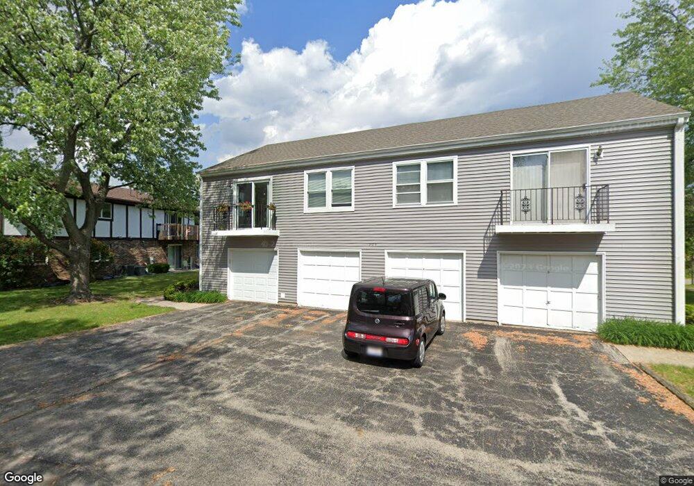
204 Sheridan Ct Unit D New Lenox, IL 60451
Estimated Value: $190,577 - $234,000
--
Bed
--
Bath
--
Sq Ft
4,356
Sq Ft Lot
About This Home
This home is located at 204 Sheridan Ct Unit D, New Lenox, IL 60451 and is currently estimated at $219,894. 204 Sheridan Ct Unit D is a home located in Will County with nearby schools including Bentley Elementary School, Arnold J Tyler School, and Alex M Martino Jr High School.
Ownership History
Date
Name
Owned For
Owner Type
Purchase Details
Closed on
May 23, 2014
Sold by
Wingate Michael R
Bought by
Wingate Michael R
Current Estimated Value
Purchase Details
Closed on
Nov 30, 2012
Sold by
Wingate Michael R
Bought by
Wingate Michael R and The Michael R Wingate 2012 Trust
Purchase Details
Closed on
May 26, 2000
Sold by
Healy Laura M
Bought by
Wingate Michael R
Home Financials for this Owner
Home Financials are based on the most recent Mortgage that was taken out on this home.
Original Mortgage
$71,500
Interest Rate
8.13%
Create a Home Valuation Report for This Property
The Home Valuation Report is an in-depth analysis detailing your home's value as well as a comparison with similar homes in the area
Home Values in the Area
Average Home Value in this Area
Purchase History
| Date | Buyer | Sale Price | Title Company |
|---|---|---|---|
| Wingate Michael R | -- | None Available | |
| Wingate Michael R | -- | None Available | |
| Wingate Michael R | $89,500 | Chicago Title Insurance Co |
Source: Public Records
Mortgage History
| Date | Status | Borrower | Loan Amount |
|---|---|---|---|
| Closed | Wingate Michael R | $71,500 |
Source: Public Records
Tax History Compared to Growth
Tax History
| Year | Tax Paid | Tax Assessment Tax Assessment Total Assessment is a certain percentage of the fair market value that is determined by local assessors to be the total taxable value of land and additions on the property. | Land | Improvement |
|---|---|---|---|---|
| 2024 | $2,769 | $50,124 | $6,640 | $43,484 |
| 2023 | $2,769 | $45,692 | $6,053 | $39,639 |
| 2022 | $2,690 | $42,093 | $5,576 | $36,517 |
| 2021 | $2,505 | $39,587 | $5,244 | $34,343 |
| 2020 | $2,405 | $38,175 | $5,057 | $33,118 |
| 2019 | $2,276 | $36,991 | $4,900 | $32,091 |
| 2018 | $2,195 | $35,716 | $4,731 | $30,985 |
| 2017 | $2,497 | $34,689 | $4,595 | $30,094 |
| 2016 | $2,414 | $33,761 | $4,472 | $29,289 |
| 2015 | $2,322 | $32,698 | $4,331 | $28,367 |
| 2014 | $2,322 | $32,295 | $4,278 | $28,017 |
| 2013 | $2,322 | $32,731 | $4,336 | $28,395 |
Source: Public Records
Map
Nearby Homes
- 218 Manor Dr Unit A
- 416 Manor Ct Unit B
- 574 Prairie Crossing Dr
- 331 Old Hickory Rd
- 315 S Pine St
- Vacant W Maple St
- 125 Kimber Dr
- 338 Willow St
- 00 NE Corner Cherry Hill Road and Moss Lane Rd
- 105 Roy St
- 203 Fir St
- 1500 Ramp
- 709 Young Dr
- 718 S Prairie Rd
- 217 Aspen Dr
- 328 E Lincoln Hwy
- 1701 Grand Prairie Dr
- 224 Hauser Ct
- 154 Barbara Ln
- 133 Barbara Ln
- 204 Sheridan Ct Unit A
- 204 Sheridan Ct Unit C
- 204 Sheridan Ct Unit B
- 209 N Vine St Unit A
- 209 N Vine St Unit A
- 209 N Vine St
- 209 Vine St Unit A
- 209 Vine St Unit C
- 209 Vine St Unit B
- 209 Vine St Unit D
- 200 Foxhill Ct Unit A
- 200 Foxhill Ct Unit B
- 200 Foxhill Ct Unit D
- 200 Fox Hill Ct Unit B
- 205 Sheridan Ct Unit A
- 205 Sheridan Ct Unit B
- 205 Sheridan Ct Unit C
- 205 Sheridan Ct
- 209 Sheridan Ct Unit A
- 209 Sheridan Ct Unit D