204 Stephens Cir Murrayville, GA 30564
Murrayville NeighborhoodEstimated Value: $289,323 - $357,000
--
Bed
3
Baths
1,827
Sq Ft
$179/Sq Ft
Est. Value
About This Home
This home is located at 204 Stephens Cir, Murrayville, GA 30564 and is currently estimated at $327,331, approximately $179 per square foot. 204 Stephens Cir is a home located in Lumpkin County with nearby schools including Lumpkin County High School.
Ownership History
Date
Name
Owned For
Owner Type
Purchase Details
Closed on
Sep 23, 1998
Sold by
Weaver David B
Bought by
Weaver David B
Current Estimated Value
Purchase Details
Closed on
Sep 18, 1991
Sold by
Weaver David B
Bought by
Weaver David B
Purchase Details
Closed on
Jul 20, 1989
Bought by
Weaver David B
Create a Home Valuation Report for This Property
The Home Valuation Report is an in-depth analysis detailing your home's value as well as a comparison with similar homes in the area
Home Values in the Area
Average Home Value in this Area
Purchase History
| Date | Buyer | Sale Price | Title Company |
|---|---|---|---|
| Weaver David B | -- | -- | |
| Weaver David B | -- | -- | |
| Weaver David B | -- | -- |
Source: Public Records
Tax History Compared to Growth
Tax History
| Year | Tax Paid | Tax Assessment Tax Assessment Total Assessment is a certain percentage of the fair market value that is determined by local assessors to be the total taxable value of land and additions on the property. | Land | Improvement |
|---|---|---|---|---|
| 2024 | $2,321 | $101,218 | $18,874 | $82,344 |
| 2023 | $1,779 | $95,181 | $18,874 | $76,307 |
| 2022 | $1,968 | $81,501 | $15,728 | $65,773 |
| 2021 | $1,723 | $69,304 | $15,728 | $53,576 |
| 2020 | $1,713 | $66,952 | $15,072 | $51,880 |
| 2019 | $1,729 | $66,952 | $15,072 | $51,880 |
| 2018 | $1,670 | $60,854 | $15,072 | $45,782 |
| 2017 | $1,649 | $59,000 | $15,072 | $43,928 |
| 2016 | $1,517 | $52,745 | $15,072 | $37,673 |
| 2015 | $1,364 | $52,745 | $15,072 | $37,673 |
| 2014 | $1,364 | $53,720 | $15,072 | $38,648 |
| 2013 | -- | $54,220 | $15,072 | $39,147 |
Source: Public Records
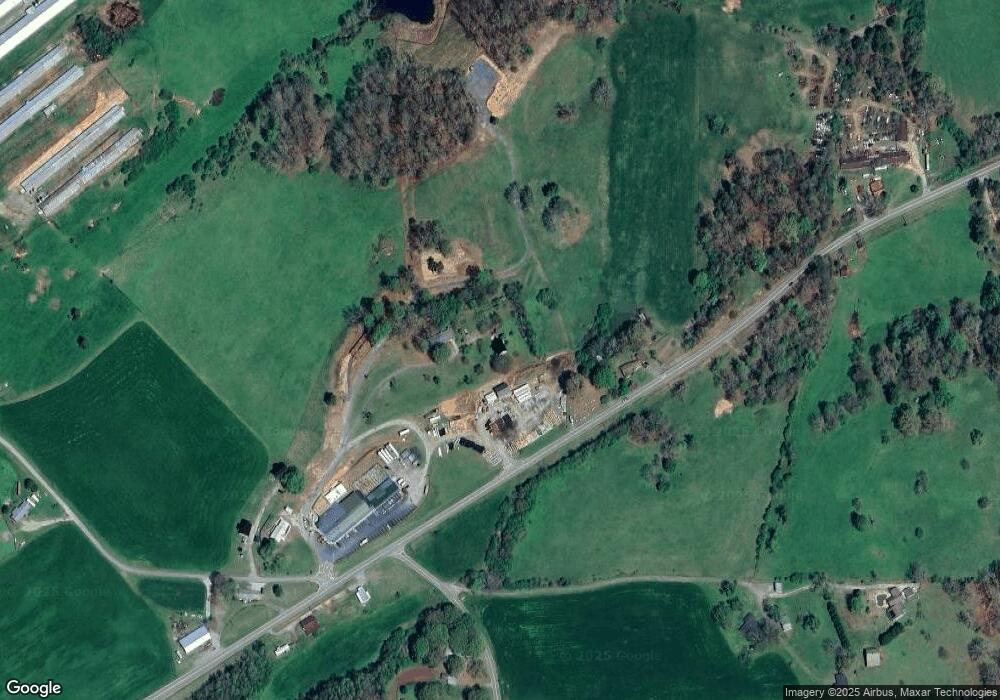
Map
Nearby Homes
- 86.99 Acres Mincie Mountain
- 0 Roseberry Ln
- 23.86 Acres Mincie Mountain
- 20.65 Acres Mincie Mountain
- 42.65 Acres Mincie Mountain
- 3.65 Ac Emory Stephens Rd
- 3.65AC Emory Stephens Rd
- 6.2 Mincey Acres Dr
- 112 Lumpkin View Dr
- 45 Chestatee River Ridge
- 380 Copper Mill Rd
- 0 Valhalla Dr Unit 10640791
- 600 Chapman Ridge Ln
- 500 Chapman Ridge Ln
- 27.68 Chapman Ridge Ln
- 966 Wahoo Creek Rd
- 100 Rocky Branch Dr
- 193 Stephens Cir
- 1779 Cleveland Hwy
- 3 Emory Stephens Rd Unit 4
- 0 Emory Stephens Rd
- 0000 Emory Stephens Rd
- 0 Emory Stephens Rd Unit 3262957
- 0 Emory Stephens Rd Unit 8537990
- 0 Emory Stephens Rd Unit 8808045
- 0 Emory Stephens Rd Unit 6736114
- 0 Emory Stephens Rd Unit 3253960
- 0 Emory Stephens Rd Unit 8666934
- 0 Emory Stephens Rd Unit 8579061
- 0 Emory Stephens Rd Unit 8614968
- 0 Emory Stephens Rd Unit 8684957
- 46 Francis Smith Rd
- 263 Stephens Cir
- 43 Stephens Cir
- 1560 Cleveland Hwy
- 90 Emory Stephens Rd
- 21 Francis Smith Rd