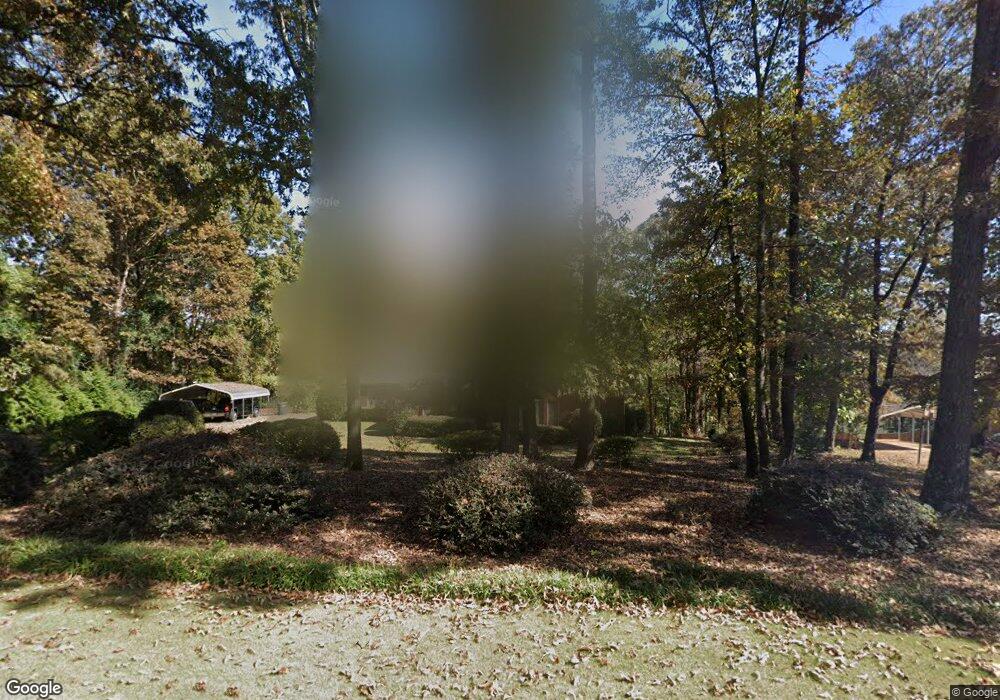
204 Sturbridge Dr Lagrange, GA 30240
Estimated Value: $280,876 - $363,000
3
Beds
2
Baths
2,179
Sq Ft
$151/Sq Ft
Est. Value
About This Home
This home is located at 204 Sturbridge Dr, Lagrange, GA 30240 and is currently estimated at $328,219, approximately $150 per square foot. 204 Sturbridge Dr is a home located in Troup County with nearby schools including Hillcrest Elementary School, Franklin Forest Elementary School, and Hollis Hand Elementary School.
Ownership History
Date
Name
Owned For
Owner Type
Purchase Details
Closed on
Sep 5, 2003
Sold by
Thida Martin F and Thida Urbanski
Bought by
Ward Johnette B
Current Estimated Value
Purchase Details
Closed on
Apr 30, 1996
Sold by
James M White
Bought by
Thida Martin F and Thida Urbanski
Purchase Details
Closed on
Mar 22, 1994
Sold by
Cook Builders
Bought by
James M White
Purchase Details
Closed on
Nov 30, 1993
Sold by
The Bank Of Troup County
Bought by
Cook Builders
Purchase Details
Closed on
Aug 7, 1989
Bought by
The Bank Of Troup County
Create a Home Valuation Report for This Property
The Home Valuation Report is an in-depth analysis detailing your home's value as well as a comparison with similar homes in the area
Home Values in the Area
Average Home Value in this Area
Purchase History
| Date | Buyer | Sale Price | Title Company |
|---|---|---|---|
| Ward Johnette B | $154,000 | -- | |
| Thida Martin F | $145,000 | -- | |
| James M White | $133,200 | -- | |
| Cook Builders | $12,500 | -- | |
| The Bank Of Troup County | -- | -- |
Source: Public Records
Tax History Compared to Growth
Tax History
| Year | Tax Paid | Tax Assessment Tax Assessment Total Assessment is a certain percentage of the fair market value that is determined by local assessors to be the total taxable value of land and additions on the property. | Land | Improvement |
|---|---|---|---|---|
| 2024 | $2,634 | $98,560 | $12,000 | $86,560 |
| 2023 | $2,674 | $100,040 | $12,000 | $88,040 |
| 2022 | $2,624 | $96,000 | $12,000 | $84,000 |
| 2021 | $2,278 | $77,520 | $12,000 | $65,520 |
| 2020 | $2,278 | $77,520 | $12,000 | $65,520 |
| 2019 | $2,192 | $74,680 | $12,000 | $62,680 |
| 2018 | $2,042 | $67,720 | $12,000 | $55,720 |
Source: Public Records
Map
Nearby Homes
- 206 Sturbridge Dr
- 3011 Mooty Bridge Rd
- 223 Village Dr
- 1006 Wares Cross Rd
- 219 E Yorktown Dr
- 107 Cameron Pointe Dr
- 102 Cameron Pointe Dr
- 102 Plantation Ct
- 103 Cameron Pointe Dr
- 0 Waterview Dr Unit LOT 34 10500921
- 0 Waterview Dr Unit LOT 37 & 27B
- 0 Waterview Dr Unit 10580887
- 0 Waterview Dr Unit LOT 31 10491353
- 0 Waterview Dr Unit LOT 30 10491028
- 0 Waterview Dr Unit 10554814
- 0 Waterview Dr Unit 10558462
- 57 Hubbard Rd
- 300 Willow Pointe Dr
- 302 Willow Pointe Dr
- 348 Willow Pointe Dr
- 202 Sturbridge Dr
- 200 Sturbridge Dr
- 207 Sturbridge Dr
- 208 Sturbridge Dr
- 205 Sturbridge Dr
- 203 Sturbridge Dr
- 209 Sturbridge Dr Unit 7
- 209 Sturbridge Dr
- 210 Sturbridge Dr
- 101 Village Dr
- 201 Sturbridge Dr
- 3200 Mooty Bridge Rd
- 3209 Cameron Mill Rd
- 3126 Mooty Bridge Rd
- 202 Village Dr
- 3198 Cameron Mill Rd
- 112 Sturbridge Dr
- 113 Sturbridge Dr
- 3194 Cameron Mill Rd
- 204 Village Dr