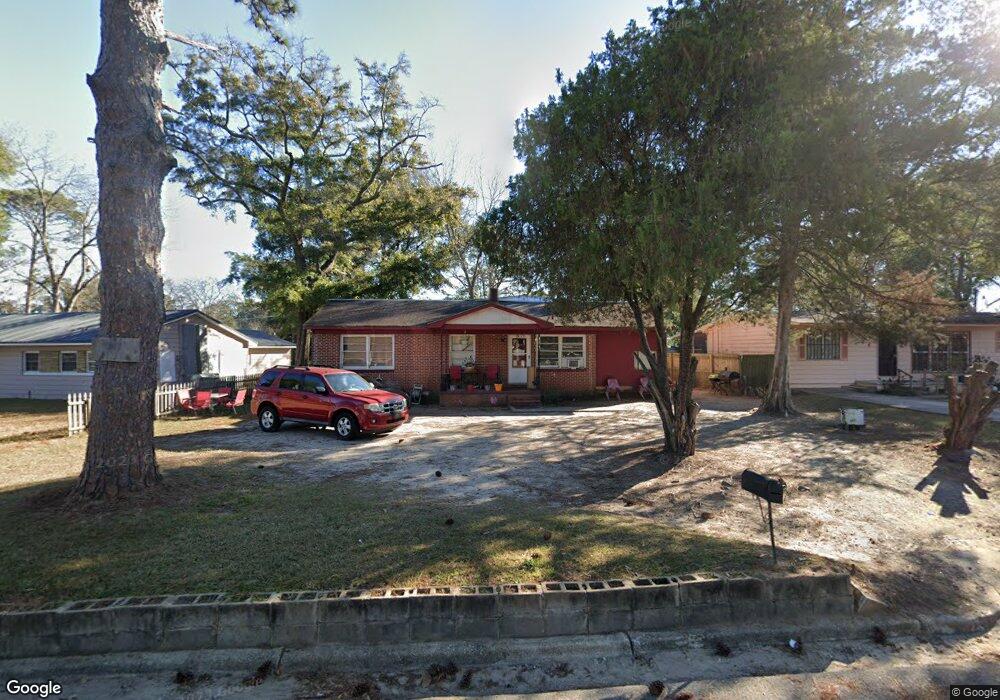
204 Sundale Rd Albany, GA 31705
Estimated Value: $66,000 - $92,000
4
Beds
1
Bath
1,634
Sq Ft
$50/Sq Ft
Est. Value
About This Home
This home is located at 204 Sundale Rd, Albany, GA 31705 and is currently estimated at $80,949, approximately $49 per square foot. 204 Sundale Rd is a home located in Dougherty County with nearby schools including Turner Elementary School, Albany Middle School, and Radium Springs Middle School.
Ownership History
Date
Name
Owned For
Owner Type
Purchase Details
Closed on
Sep 28, 2012
Sold by
Mcdonald Rentals Llc
Bought by
Kats Rentals Llc
Current Estimated Value
Purchase Details
Closed on
Jan 22, 2001
Sold by
Mcdonald Shawn G and Mcdonald Kathy T
Bought by
Mcdonald Rentals Llc
Purchase Details
Closed on
Jun 22, 2000
Sold by
Miller Paul A and Miller Nona L
Bought by
Mcdonald Shawn G and Mcdonald Kathy T
Purchase Details
Closed on
Jun 26, 1995
Sold by
Miller Paul A
Bought by
Miller Nona L
Purchase Details
Closed on
Nov 1, 1968
Sold by
Kerry Clara G
Bought by
Miller Paul A
Create a Home Valuation Report for This Property
The Home Valuation Report is an in-depth analysis detailing your home's value as well as a comparison with similar homes in the area
Home Values in the Area
Average Home Value in this Area
Purchase History
| Date | Buyer | Sale Price | Title Company |
|---|---|---|---|
| Kats Rentals Llc | -- | -- | |
| Mcdonald Rentals Llc | -- | -- | |
| Mcdonald Shawn G | $17,000 | -- | |
| Miller Nona L | -- | -- | |
| Miller Paul A | -- | -- |
Source: Public Records
Tax History Compared to Growth
Tax History
| Year | Tax Paid | Tax Assessment Tax Assessment Total Assessment is a certain percentage of the fair market value that is determined by local assessors to be the total taxable value of land and additions on the property. | Land | Improvement |
|---|---|---|---|---|
| 2024 | $805 | $16,880 | $2,240 | $14,640 |
| 2023 | $786 | $16,880 | $2,240 | $14,640 |
| 2022 | $789 | $16,880 | $2,240 | $14,640 |
| 2021 | $732 | $16,880 | $2,240 | $14,640 |
| 2020 | $734 | $16,880 | $2,240 | $14,640 |
| 2019 | $736 | $16,880 | $2,240 | $14,640 |
| 2018 | $817 | $18,640 | $2,240 | $16,400 |
| 2017 | $761 | $18,640 | $2,240 | $16,400 |
| 2016 | $761 | $18,640 | $2,240 | $16,400 |
| 2015 | $763 | $18,640 | $2,240 | $16,400 |
| 2014 | $754 | $18,640 | $2,240 | $16,400 |
Source: Public Records
Map
Nearby Homes
- 2215 E Broad Ave
- 2006 Keystone Ave
- 2004 Keystone Ave
- 307 Acorn St
- 306 Elsom St
- 309 Acorn St
- 2523 Cherokee Dr
- 234 Cone St
- 2529 Cherokee Dr
- 410 Johnson Rd
- 513 Johnson Rd
- 308 Forrestal Ln
- 119 N West Rd
- 1532 E Broad Ave
- 2725 Yorktown Ave
- 2731 Yorktown Ave
- 148 Force Dr
- 2921 Madeline Rd
- 608 Cason St
- 811 S Maple St
- 206 Sundale Rd
- 202 Sundale Rd
- 208 Sundale Rd
- 200 Sundale Rd
- 205 S Mock Rd
- 207 S Mock Rd
- 2215 Stratford Dr
- 203 S Mock Rd
- 209 S Mock Rd
- 210 Sundale Rd
- 2216 Stratford Dr
- 201 S Mock Rd
- 211 S Mock Rd
- 2213 Stratford Dr
- 2214 Stratford Dr
- 212 Sundale Rd
- 213 S Mock Rd
- 2212 Stratford Dr
- 2219 Rosebrier Ave
- 2217 Rosebrier Ave