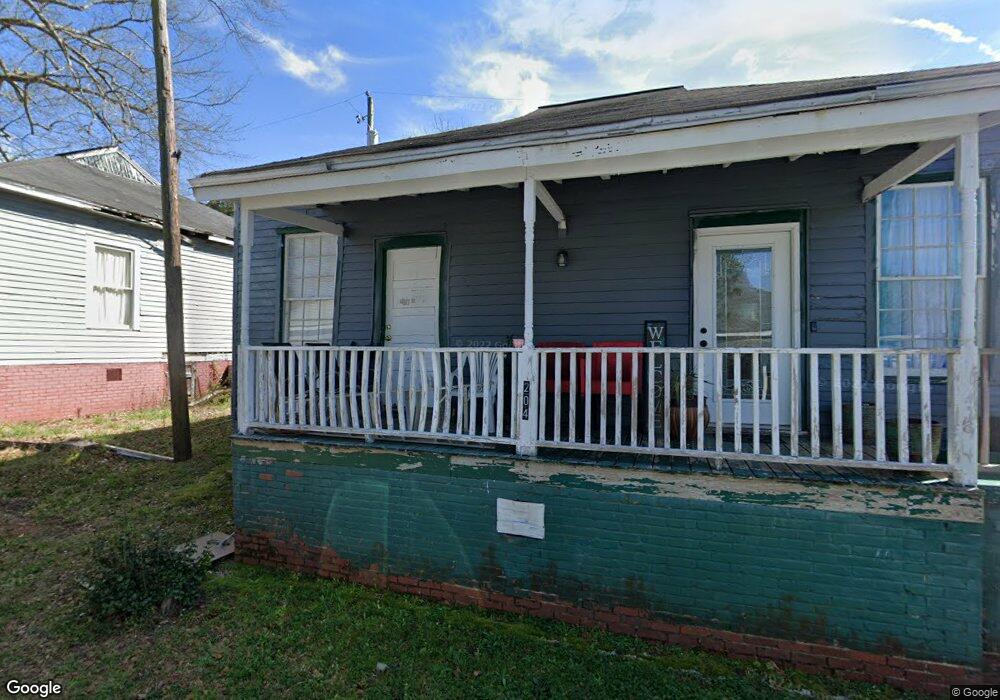
204 Vine St Lagrange, GA 30241
Estimated Value: $61,000 - $100,000
2
Beds
1
Bath
1,084
Sq Ft
$71/Sq Ft
Est. Value
About This Home
This home is located at 204 Vine St, Lagrange, GA 30241 and is currently estimated at $76,638, approximately $70 per square foot. 204 Vine St is a home located in Troup County with nearby schools including Hollis Hand Elementary School, Franklin Forest Elementary School, and Ethel W. Kight Elementary School.
Ownership History
Date
Name
Owned For
Owner Type
Purchase Details
Closed on
May 20, 2022
Sold by
Penson J David
Bought by
Diamond Legacy Properties Llc
Current Estimated Value
Purchase Details
Closed on
Jun 16, 2015
Sold by
D A S H For Lagrange Inc
Bought by
Emmaus House Lagrange Inc
Home Financials for this Owner
Home Financials are based on the most recent Mortgage that was taken out on this home.
Original Mortgage
$14,500
Interest Rate
3.79%
Mortgage Type
New Conventional
Purchase Details
Closed on
Dec 4, 2003
Sold by
Debra Cameron
Bought by
Neighborhood Housing
Purchase Details
Closed on
Jan 9, 1997
Sold by
Neighborhood Housing Serv Inc
Bought by
Debra Cameron
Purchase Details
Closed on
Oct 30, 1996
Sold by
Emett Fling
Bought by
Neighborhood Housing Serv Inc
Purchase Details
Closed on
Jan 1, 1967
Sold by
Lowe John T
Bought by
Emett Fling
Create a Home Valuation Report for This Property
The Home Valuation Report is an in-depth analysis detailing your home's value as well as a comparison with similar homes in the area
Purchase History
| Date | Buyer | Sale Price | Title Company |
|---|---|---|---|
| Diamond Legacy Properties Llc | -- | -- | |
| Emmaus House Lagrange Inc | $15,000 | -- | |
| Neighborhood Housing | -- | -- | |
| Debra Cameron | $8,500 | -- | |
| Neighborhood Housing Serv Inc | $8,500 | -- | |
| Emett Fling | -- | -- |
Source: Public Records
Mortgage History
| Date | Status | Borrower | Loan Amount |
|---|---|---|---|
| Previous Owner | Emmaus House Lagrange Inc | $14,500 |
Source: Public Records
Tax History
| Year | Tax Paid | Tax Assessment Tax Assessment Total Assessment is a certain percentage of the fair market value that is determined by local assessors to be the total taxable value of land and additions on the property. | Land | Improvement |
|---|---|---|---|---|
| 2025 | $506 | $18,560 | $1,800 | $16,760 |
| 2024 | $466 | $17,080 | $1,800 | $15,280 |
| 2023 | $416 | $15,240 | $1,800 | $13,440 |
| 2022 | $403 | $14,440 | $1,800 | $12,640 |
| 2021 | $436 | $14,440 | $600 | $13,840 |
| 2020 | $436 | $14,440 | $600 | $13,840 |
| 2019 | $406 | $13,464 | $664 | $12,800 |
| 2018 | $406 | $13,464 | $664 | $12,800 |
| 2017 | $406 | $13,464 | $664 | $12,800 |
| 2016 | $181 | $6,000 | $299 | $5,701 |
| 2015 | -- | $13,293 | $664 | $12,629 |
| 2014 | -- | $13,881 | $664 | $13,217 |
| 2013 | -- | $15,060 | $664 | $14,396 |
Source: Public Records
Map
Nearby Homes
Your Personal Tour Guide
Ask me questions while you tour the home.