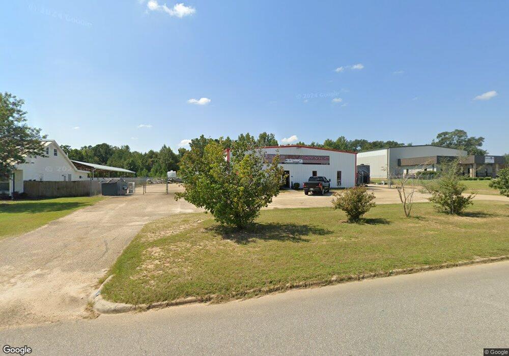
204 Vulcan Way Dothan, AL 36303
Estimated Value: $332,632
--
Bed
--
Bath
7,200
Sq Ft
$46/Sq Ft
Est. Value
About This Home
This home is located at 204 Vulcan Way, Dothan, AL 36303 and is currently estimated at $332,632, approximately $46 per square foot. 204 Vulcan Way is a home located in Houston County with nearby schools including Dothan City Early Education Center, Morris Slingluff Elementary School, and Dothan Preparatory Academy.
Ownership History
Date
Name
Owned For
Owner Type
Purchase Details
Closed on
Sep 27, 2011
Sold by
Sanders Brad A and Browning William E
Bought by
Kuhl Keith A
Current Estimated Value
Home Financials for this Owner
Home Financials are based on the most recent Mortgage that was taken out on this home.
Original Mortgage
$222,310
Interest Rate
4.3%
Mortgage Type
Commercial
Purchase Details
Closed on
Nov 24, 2008
Sold by
Roper Pat and Roper Stanley
Bought by
Sanders Brad A and Browning William E
Home Financials for this Owner
Home Financials are based on the most recent Mortgage that was taken out on this home.
Original Mortgage
$82,500
Interest Rate
6.01%
Create a Home Valuation Report for This Property
The Home Valuation Report is an in-depth analysis detailing your home's value as well as a comparison with similar homes in the area
Home Values in the Area
Average Home Value in this Area
Purchase History
| Date | Buyer | Sale Price | Title Company |
|---|---|---|---|
| Kuhl Keith A | -- | -- | |
| Sanders Brad A | $250,000 | -- |
Source: Public Records
Mortgage History
| Date | Status | Borrower | Loan Amount |
|---|---|---|---|
| Closed | Kuhl Keith A | $222,310 | |
| Previous Owner | Sanders Brad A | $82,500 | |
| Previous Owner | Sanders Brad A | $143,363 |
Source: Public Records
Tax History Compared to Growth
Tax History
| Year | Tax Paid | Tax Assessment Tax Assessment Total Assessment is a certain percentage of the fair market value that is determined by local assessors to be the total taxable value of land and additions on the property. | Land | Improvement |
|---|---|---|---|---|
| 2024 | $2,074 | $53,860 | $0 | $0 |
| 2023 | $1,939 | $44,720 | $0 | $0 |
| 2022 | $1,543 | $44,720 | $0 | $0 |
| 2021 | $1,459 | $49,080 | $0 | $0 |
| 2020 | $1,459 | $42,280 | $0 | $0 |
| 2019 | $1,459 | $42,280 | $0 | $0 |
| 2018 | $1,459 | $42,280 | $0 | $0 |
| 2017 | $1,436 | $41,620 | $0 | $0 |
| 2016 | $1,436 | $0 | $0 | $0 |
| 2015 | $1,436 | $0 | $0 | $0 |
| 2014 | $1,436 | $0 | $0 | $0 |
Source: Public Records
Map
Nearby Homes
- 399 Grand Harbor Cir
- 400 Grand Harbor Cir
- 402 Grand Harbor Cir
- 401 Grand Harbor Cir
- 904 Worthy Ave
- 1200 Corner St
- 325 Grand Harbor Cir
- 327 Grand Harbor Cir
- 343 Grand Harbor Cir
- 376 Grand Harbor Cir
- 316 Grand Harbor Cir
- 341 Grand Harbor Cir
- 321 Grand Harbor Cir
- 404 Grand Harbor Cir
- 387 Grand Harbor Cir
- 393 Grand Harbor Cir
- 333 Grand Harbor Cir
- 329 Grand Harbor Cir
- 331 Grand Harbor Cir
- 338 Grand Harbor Cir
- 206 Vulcan Way
- 318 Grand Harbor Cir
- 399 Grand Harbour Cir
- 12.678+-ac Kinsey Rd Keel Rd
- 1564 Kinsey Rd
- 1486 Kinsey Rd
- 1454 Kinsey Rd
- 901 Worthy Ave
- 805 Worthy Ave
- 903 Worthy Ave
- 803 Worthy Ave
- 911 Worthy Ave
- 1426 Kinsey Rd
- 913 Worthy Ave
- 1400 Kinsey Rd
- 1390 Kinsey Rd
- 915 Worthy Ave
- 1205 Corner St
- 1372 Kinsey Rd
- 1001 Worthy Ave