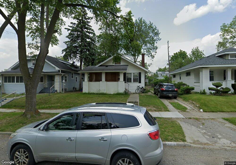
204 W Taylor St Flint, MI 48505
King Avenue Plus NeighborhoodEstimated Value: $30,000 - $76,000
3
Beds
1
Bath
1,162
Sq Ft
$42/Sq Ft
Est. Value
About This Home
This home is located at 204 W Taylor St, Flint, MI 48505 and is currently estimated at $48,574, approximately $41 per square foot. 204 W Taylor St is a home located in Genesee County with nearby schools including Brownell STEM Academy, Greater Heights Academy, and WAY Academy of Flint.
Ownership History
Date
Name
Owned For
Owner Type
Purchase Details
Closed on
Feb 9, 2017
Sold by
Harris Gloria G and Estate Of Bonita Jean White
Bought by
Brown Antore M and Green Coreonte Dontez
Current Estimated Value
Purchase Details
Closed on
Dec 11, 2014
Sold by
Marks Shimicae Shainetay
Bought by
Harris Gloria Cene
Purchase Details
Closed on
May 17, 2013
Sold by
Toles Valerie
Bought by
Toles Michael
Purchase Details
Closed on
Jun 30, 2008
Sold by
Toles Michael L
Bought by
White Bonita
Purchase Details
Closed on
May 9, 2002
Sold by
Smith Cheryl
Bought by
Toles Michael L
Purchase Details
Closed on
Dec 1, 1999
Sold by
Shiloh Missionary Baptist Church Of Flin
Bought by
Smith Cheryl A
Purchase Details
Closed on
Oct 31, 1996
Sold by
Arterberrie H
Bought by
Shiloh Missionary Baptist Church
Create a Home Valuation Report for This Property
The Home Valuation Report is an in-depth analysis detailing your home's value as well as a comparison with similar homes in the area
Home Values in the Area
Average Home Value in this Area
Purchase History
| Date | Buyer | Sale Price | Title Company |
|---|---|---|---|
| Brown Antore M | -- | None Available | |
| Harris Gloria Cene | -- | None Available | |
| Toles Michael | -- | None Available | |
| White Bonita | -- | None Available | |
| Toles Michael L | $1,000 | Stewart Title Guaranty Compa | |
| Smith Cheryl A | $5,000 | Stewart Title Guaranty Compa | |
| Shiloh Missionary Baptist Church | $18,500 | Cislo Title Company |
Source: Public Records
Tax History
| Year | Tax Paid | Tax Assessment Tax Assessment Total Assessment is a certain percentage of the fair market value that is determined by local assessors to be the total taxable value of land and additions on the property. | Land | Improvement |
|---|---|---|---|---|
| 2025 | $905 | $12,500 | $0 | $0 |
| 2024 | $844 | $12,000 | $0 | $0 |
| 2023 | $873 | $10,500 | $0 | $0 |
| 2022 | $0 | $8,900 | $0 | $0 |
| 2021 | $883 | $8,500 | $0 | $0 |
| 2020 | $1,002 | $11,200 | $0 | $0 |
| 2019 | $1,055 | $12,200 | $0 | $0 |
| 2018 | $1,094 | $12,500 | $0 | $0 |
| 2017 | $1,075 | $0 | $0 | $0 |
| 2016 | $1,075 | $0 | $0 | $0 |
| 2015 | -- | $0 | $0 | $0 |
| 2014 | -- | $0 | $0 | $0 |
| 2012 | -- | $15,400 | $0 | $0 |
Source: Public Records
Map
Nearby Homes
- 409 W Genesee St
- 432 W Dartmouth St
- 218 E Jackson Ave
- 115 E Genesee St
- 200 W Mcclellan St
- 320 W Mcclellan St
- 132 W Jamieson St
- 506 Green St
- 217 W Dewey St
- 2217 Francis Ave
- 716 W Genesee St
- 501 W Witherbee St
- 2718 N Chevrolet Ave
- 3205 Dupont St
- 3422 Race St
- 3207 Milbourne Ave
- 630 E Dartmouth St
- 800 Martin Luther King Ave
- 1606 Garland St
- 2414 Delmar St
- 208 W Taylor St
- 200 W Taylor St
- 212 W Taylor St
- 132 W Taylor St
- 205 W Jackson Ave
- 209 W Jackson Ave
- 201 W Jackson Ave
- 213 W Jackson Ave
- 216 W Taylor St
- 133 W Jackson Ave
- 205 W Taylor St
- 201 W Taylor St
- 217 W Jackson Ave
- 213 W Taylor St
- 129 W Jackson Ave
- 131 W Taylor St
- 220 W Taylor St
- 217 W Taylor St
- 127 W Taylor St
- 221 W Jackson Ave
Your Personal Tour Guide
Ask me questions while you tour the home.