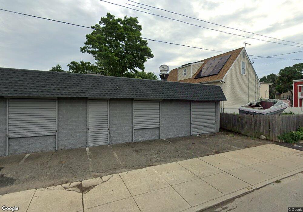
204 Walnut St Unit 1 Bridge Port, CT 06604
South End Neighborhood
--
Bed
--
Bath
1,040
Sq Ft
2,614
Sq Ft Lot
About This Home
This home is located at 204 Walnut St Unit 1, Bridge Port, CT 06604. 204 Walnut St Unit 1 is a home located in Fairfield County with nearby schools including Roosevelt School, Bassick High School, and New Beginnings Family Academy.
Ownership History
Date
Name
Owned For
Owner Type
Purchase Details
Closed on
Jun 20, 2024
Sold by
Al Romo Llc
Bought by
Walnut St Llc
Purchase Details
Closed on
Nov 28, 2017
Sold by
Rivera Maria
Bought by
204 Walnut St Llc
Home Financials for this Owner
Home Financials are based on the most recent Mortgage that was taken out on this home.
Original Mortgage
$27,500
Interest Rate
3.91%
Mortgage Type
Unknown
Purchase Details
Closed on
Nov 13, 2012
Sold by
Rivera Maria
Bought by
Arriaga Pedro
Create a Home Valuation Report for This Property
The Home Valuation Report is an in-depth analysis detailing your home's value as well as a comparison with similar homes in the area
Home Values in the Area
Average Home Value in this Area
Purchase History
| Date | Buyer | Sale Price | Title Company |
|---|---|---|---|
| Walnut St Llc | -- | None Available | |
| Walnut St Llc | -- | None Available | |
| 204 Walnut St Llc | $55,000 | -- | |
| 204 Walnut St Llc | $55,000 | -- | |
| Arriaga Pedro | $88,000 | -- | |
| Arriaga Pedro | $88,000 | -- |
Source: Public Records
Mortgage History
| Date | Status | Borrower | Loan Amount |
|---|---|---|---|
| Previous Owner | Arriaga Pedro | $27,500 |
Source: Public Records
Tax History Compared to Growth
Tax History
| Year | Tax Paid | Tax Assessment Tax Assessment Total Assessment is a certain percentage of the fair market value that is determined by local assessors to be the total taxable value of land and additions on the property. | Land | Improvement |
|---|---|---|---|---|
| 2025 | $4,258 | $97,990 | $66,040 | $31,950 |
| 2024 | $4,258 | $97,990 | $66,040 | $31,950 |
| 2023 | $4,258 | $97,990 | $66,040 | $31,950 |
| 2022 | $4,258 | $97,990 | $66,040 | $31,950 |
| 2021 | $4,258 | $97,990 | $66,040 | $31,950 |
| 2020 | $3,716 | $68,820 | $37,860 | $30,960 |
| 2019 | $3,716 | $68,820 | $37,860 | $30,960 |
| 2018 | $3,742 | $68,820 | $37,860 | $30,960 |
| 2017 | $3,742 | $68,820 | $37,860 | $30,960 |
| 2016 | $3,742 | $68,820 | $37,860 | $30,960 |
| 2015 | $3,238 | $76,730 | $43,270 | $33,460 |
| 2014 | $3,238 | $76,730 | $43,270 | $33,460 |
Source: Public Records
Map
Nearby Homes
- 373 Iranistan Ave
- 59 Rennell St Unit 19
- 22 Sims St
- 21 Little St
- 70 Sims St
- 103 Sims St
- 850 Atlantic St Unit 208
- 217 Alsace St
- 221 Alsace St
- 95 Austin St
- 201 Lewis St Unit 203
- 59 Myrtle Ave Unit 61
- 757 Iranistan Ave Unit 759
- 325 Lafayette St Unit 5102
- 325 Lafayette St Unit 3303
- 162 Cottage St
- 144 Cottage St
- 865 Iranistan Ave
- 90 Lee Ave
- 43 Clinton Ave Unit 45
- 204 Walnut St
- 95 Ridge Ave
- 194 Walnut St
- 184 Walnut St
- 81 Ridge Ave
- 556 Gregory St Unit 558
- 33 Rennell Ct
- 536 Gregory St
- 25 Rennell Ct
- 49 Ridge Ave
- 47 Ridge Ave Unit 2
- 49 Ridge Ave Unit 2
- 17 Rennell Ct
- 532 Gregory St Unit 534
- 61 Ridge Ave
- 528 Gregory St Unit 530
- 17 Rennell Ct
- 518 Gregory St Unit 520
- 308 Iranistan Ave
- 45 Ridge Ave