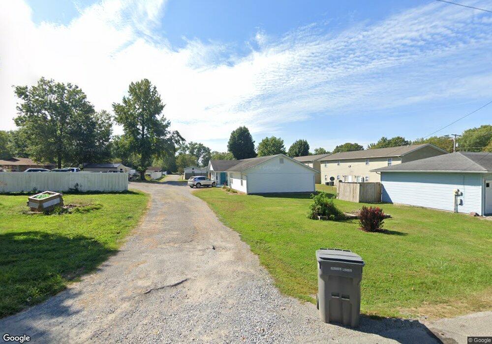
204 Walnut St Energy, IL 62933
Estimated Value: $192,009 - $299,000
--
Bed
--
Bath
2,376
Sq Ft
$99/Sq Ft
Est. Value
About This Home
This home is located at 204 Walnut St, Energy, IL 62933 and is currently estimated at $234,502, approximately $98 per square foot. 204 Walnut St is a home with nearby schools including North Side Primary Center, Herrin Community Elementary School, and Herrin Middle School.
Ownership History
Date
Name
Owned For
Owner Type
Purchase Details
Closed on
Jan 3, 2023
Sold by
Sassafras Llc
Bought by
Shamrock Services Group Inc
Current Estimated Value
Home Financials for this Owner
Home Financials are based on the most recent Mortgage that was taken out on this home.
Original Mortgage
$2,716,000
Interest Rate
6.13%
Mortgage Type
New Conventional
Purchase Details
Closed on
Mar 31, 2021
Sold by
Gurteen Properties Llc
Bought by
Sassafras Llc
Create a Home Valuation Report for This Property
The Home Valuation Report is an in-depth analysis detailing your home's value as well as a comparison with similar homes in the area
Home Values in the Area
Average Home Value in this Area
Purchase History
| Date | Buyer | Sale Price | Title Company |
|---|---|---|---|
| Shamrock Services Group Inc | $99,000 | Abstract Service Company | |
| Sassafras Llc | $180,000 | Mayberry Brandon C |
Source: Public Records
Mortgage History
| Date | Status | Borrower | Loan Amount |
|---|---|---|---|
| Previous Owner | Shamrock Services Group Inc | $2,716,000 |
Source: Public Records
Tax History Compared to Growth
Tax History
| Year | Tax Paid | Tax Assessment Tax Assessment Total Assessment is a certain percentage of the fair market value that is determined by local assessors to be the total taxable value of land and additions on the property. | Land | Improvement |
|---|---|---|---|---|
| 2025 | $3,543 | $54,160 | $6,790 | $47,370 |
| 2024 | $3,543 | $54,160 | $6,790 | $47,370 |
| 2023 | $3,543 | $47,770 | $5,990 | $41,780 |
| 2022 | $3,587 | $50,290 | $6,310 | $43,980 |
| 2021 | $3,496 | $48,470 | $6,080 | $42,390 |
| 2020 | $3,496 | $45,790 | $5,740 | $40,050 |
| 2019 | $3,311 | $45,790 | $5,740 | $40,050 |
| 2018 | $3,311 | $45,790 | $5,740 | $40,050 |
| 2017 | $3,256 | $45,790 | $5,740 | $40,050 |
| 2015 | $3,148 | $43,380 | $5,440 | $37,940 |
| 2013 | $2,687 | $43,380 | $5,440 | $37,940 |
| 2012 | $2,687 | $43,380 | $5,440 | $37,940 |
Source: Public Records
Map
Nearby Homes
- 000 N Pershing St
- 411 Bhrett Dr
- 201 Perry St
- Lot 19 Corbin Dr
- 632 N Pershing St
- 29 Deer Run
- 1821 S 27th St
- 508 Forest Dr
- 829 Melody Ln
- 401 E Cross St
- 6584 E Grand Ave
- 1300 W Brewster Rd
- 103 Excalibur Dr
- 3004 Willow Branch Ln
- 117 Jeremy Dr
- 12451 Dahmer Way
- 11980 Hafer Rd
- 1216 S 17th St
- 3029 Teakwood Ln
- 11401 Scottsdale Ct